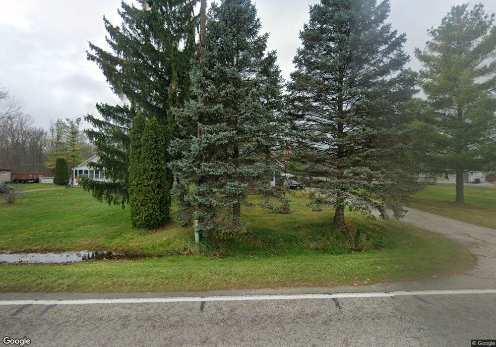
1405 Minnesota Rd Port Huron, MI 48060
Estimated Value: $146,000 - $199,000
2
Beds
1
Bath
1,313
Sq Ft
$132/Sq Ft
Est. Value
About This Home
This home is located at 1405 Minnesota Rd, Port Huron, MI 48060 and is currently estimated at $173,495, approximately $132 per square foot. 1405 Minnesota Rd is a home located in St. Clair County with nearby schools including Kimball Elementary School, Central Middle School, and Port Huron High School.
Ownership History
Date
Name
Owned For
Owner Type
Purchase Details
Closed on
Jan 28, 2010
Sold by
Johnston Helen E
Bought by
Citimortgage Inc
Current Estimated Value
Purchase Details
Closed on
Mar 31, 2006
Sold by
Johnston Helen E and Belesky Helen E
Bought by
Johnston Helen E
Home Financials for this Owner
Home Financials are based on the most recent Mortgage that was taken out on this home.
Original Mortgage
$104,000
Interest Rate
6.33%
Mortgage Type
New Conventional
Create a Home Valuation Report for This Property
The Home Valuation Report is an in-depth analysis detailing your home's value as well as a comparison with similar homes in the area
Home Values in the Area
Average Home Value in this Area
Purchase History
| Date | Buyer | Sale Price | Title Company |
|---|---|---|---|
| Citimortgage Inc | $30,387 | None Available | |
| Johnston Helen E | -- | Landamerica |
Source: Public Records
Mortgage History
| Date | Status | Borrower | Loan Amount |
|---|---|---|---|
| Previous Owner | Johnston Helen E | $104,000 |
Source: Public Records
Tax History Compared to Growth
Tax History
| Year | Tax Paid | Tax Assessment Tax Assessment Total Assessment is a certain percentage of the fair market value that is determined by local assessors to be the total taxable value of land and additions on the property. | Land | Improvement |
|---|---|---|---|---|
| 2025 | $1,281 | $68,900 | $0 | $0 |
| 2024 | $880 | $60,100 | $0 | $0 |
| 2023 | $825 | $69,800 | $0 | $0 |
| 2022 | $1,153 | $66,200 | $0 | $0 |
| 2021 | $1,072 | $63,100 | $0 | $0 |
| 2020 | $1,072 | $54,000 | $54,000 | $0 |
| 2019 | $1,052 | $30,100 | $0 | $0 |
| 2018 | $1,027 | $30,100 | $0 | $0 |
| 2017 | $1,005 | $29,300 | $0 | $0 |
| 2016 | $688 | $29,300 | $0 | $0 |
| 2015 | -- | $26,000 | $26,000 | $0 |
| 2014 | -- | $25,100 | $25,100 | $0 |
| 2013 | -- | $24,500 | $0 | $0 |
Source: Public Records
Map
Nearby Homes
- 174 Meadow Ln
- 104 Oldbrook Ln
- 153 Meadow Ln
- 00 Range Rd
- 1405 Range Rd
- 0000 Wisconsin Ave
- 00 Moak St
- 42 Liberty Ave
- 4632 Cloverdale Ln
- 0 Ravenswood Rd Unit 20251017048
- 0000 Ravenswood Rd
- 183 Nevada Ave
- 227 Connecticut Ave
- 277 Liberty Ave
- 260 Capitol Dr
- 3548 Cleveland St
- 3369 Dove Rd
- 0 39th St Unit 25046693
- 0 39th St Unit 20251028136
- 720 Arlington Cir
- 1399 Minnesota Rd
- 1411 Minnesota Rd Unit Bldg-Unit
- 1411 Minnesota Rd
- 1391 Minnesota Rd
- 1417 Minnesota Rd
- 1423 Minnesota Rd
- 1431 Minnesota Rd
- 1361 Minnesota Rd
- 1441 Minnesota Rd
- 1138 Minnesota Rd
- 1347 Minnesota Rd
- 1379 Minnesota Rd
- 1345 Minnesota Rd
- 1331 Minnesota Rd
- 1327 Minnesota Rd
- 1303 Minnesota Rd
- 4266 Dove Rd
- 4310 Dove Rd
- 4326 Dove Rd
- 1285 Minnesota Rd