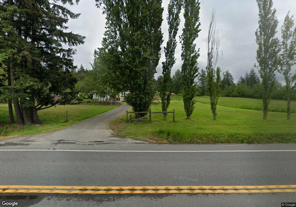
1405 Mt Baker Hwy Bellingham, WA 98226
Estimated Value: $541,000 - $844,412
3
Beds
4
Baths
1,768
Sq Ft
$417/Sq Ft
Est. Value
About This Home
This home is located at 1405 Mt Baker Hwy, Bellingham, WA 98226 and is currently estimated at $738,103, approximately $417 per square foot. 1405 Mt Baker Hwy is a home located in Whatcom County with nearby schools including Northern Heights Elementary School, Shuksan Middle School, and Squalicum High School.
Ownership History
Date
Name
Owned For
Owner Type
Purchase Details
Closed on
Oct 1, 2013
Sold by
Whidbey Island Bank
Bought by
Backman Randy
Current Estimated Value
Home Financials for this Owner
Home Financials are based on the most recent Mortgage that was taken out on this home.
Original Mortgage
$214,515
Outstanding Balance
$161,629
Interest Rate
4.57%
Mortgage Type
VA
Estimated Equity
$576,474
Purchase Details
Closed on
May 31, 2013
Sold by
Bohannon Michael D
Bought by
Whidbey Island Bank
Create a Home Valuation Report for This Property
The Home Valuation Report is an in-depth analysis detailing your home's value as well as a comparison with similar homes in the area
Home Values in the Area
Average Home Value in this Area
Purchase History
| Date | Buyer | Sale Price | Title Company |
|---|---|---|---|
| Backman Randy | $210,280 | Whatcom Land Title | |
| Whidbey Island Bank | $50,000 | First American Title Ins |
Source: Public Records
Mortgage History
| Date | Status | Borrower | Loan Amount |
|---|---|---|---|
| Open | Backman Randy | $214,515 |
Source: Public Records
Tax History Compared to Growth
Tax History
| Year | Tax Paid | Tax Assessment Tax Assessment Total Assessment is a certain percentage of the fair market value that is determined by local assessors to be the total taxable value of land and additions on the property. | Land | Improvement |
|---|---|---|---|---|
| 2024 | $6,472 | $784,032 | $324,546 | $459,486 |
| 2023 | $6,472 | $766,426 | $317,258 | $449,168 |
| 2022 | $4,997 | $603,486 | $249,810 | $353,676 |
| 2021 | $4,991 | $498,748 | $206,454 | $292,294 |
| 2020 | $4,963 | $468,859 | $249,553 | $219,306 |
| 2019 | $4,579 | $446,533 | $237,670 | $208,863 |
| 2018 | $4,952 | $414,774 | $220,766 | $194,008 |
| 2017 | $4,168 | $383,015 | $203,862 | $179,153 |
| 2016 | $3,903 | $335,986 | $182,087 | $153,899 |
| 2015 | $2,769 | $324,311 | $175,760 | $148,551 |
| 2014 | -- | $222,898 | $168,991 | $53,907 |
| 2013 | -- | $307,217 | $169,840 | $137,377 |
Source: Public Records
Map
Nearby Homes
- 1430 Mt Baker Hwy
- 1445 Mt Baker Hwy
- 3827 Keystone Way
- 4136 Malachite Dr
- 4121 Malachite Dr
- 4220 Brays Way
- 4269 Dewey Rd
- 3817 E Sunset Dr
- 1368 Roma Rd
- 1668 Sapphire Trail
- 3715 E Sunset Dr
- 3606 Tree Farm Ct
- 1430 Welling Rd
- 1812 Squalicum Mountain Rd
- 1314 Welling Rd
- 0 E Bakerview Rd Unit NWM2398341
- 3871 Cindy Ln
- 1758 Emerald Lake Way
- 2870 E Bakerview Rd
- 4455 E 18th Crest
- 112016 RS Undisclosed
- 112016 Undisclosed
- 1421 Mt Baker Hwy
- - Forest St
- 1100 Mount Baker Hwy
- 29 XX Mount Baker Hwy
- 1394 Hunsicker Rd
- 1420 Mt Baker Hwy
- 1376 Mt Baker Hwy
- 4043 E Sunset Dr
- 4170 Britton Rd
- 4178 Britton Rd
- 1372 Hunsicker Rd
- 4184 Britton Rd
- 1449 Mt Baker Hwy
- 4179 Aurora Loop
- 4175 Aurora Loop
- 4156 Wayside Ct
- 1454 Mt Baker Hwy
- 4160 Wayside Ct