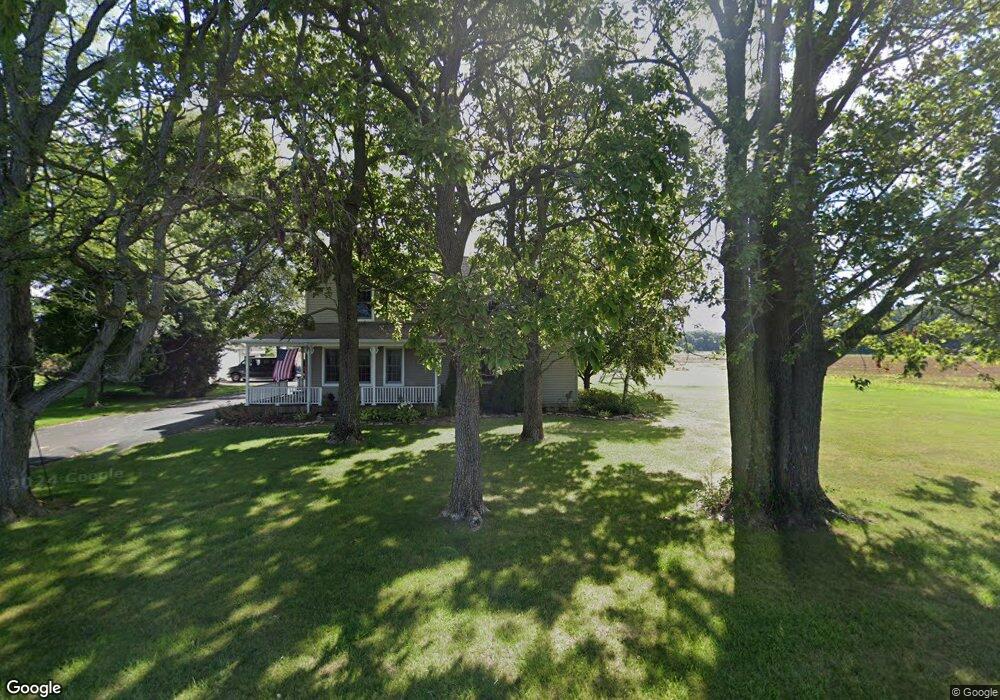
1405 N 100 E Decatur, IN 46733
Estimated Value: $250,000 - $336,000
3
Beds
2
Baths
2,204
Sq Ft
$129/Sq Ft
Est. Value
About This Home
This home is located at 1405 N 100 E, Decatur, IN 46733 and is currently estimated at $284,099, approximately $128 per square foot. 1405 N 100 E is a home located in Adams County with nearby schools including Adams Central Elementary School, Adams Central Middle School, and Adams Central High School.
Ownership History
Date
Name
Owned For
Owner Type
Purchase Details
Closed on
Jan 25, 2010
Sold by
Michael Traci L and Michael Steven C
Bought by
Stukenborg Joseph W
Current Estimated Value
Home Financials for this Owner
Home Financials are based on the most recent Mortgage that was taken out on this home.
Original Mortgage
$112,917
Outstanding Balance
$74,817
Interest Rate
5.37%
Mortgage Type
FHA
Estimated Equity
$209,282
Purchase Details
Closed on
Mar 27, 2006
Sold by
Mishler Douglas D and Mishler Holly A
Bought by
Michael Traci L and Michael Steven C
Home Financials for this Owner
Home Financials are based on the most recent Mortgage that was taken out on this home.
Original Mortgage
$170,000
Interest Rate
6.37%
Mortgage Type
New Conventional
Create a Home Valuation Report for This Property
The Home Valuation Report is an in-depth analysis detailing your home's value as well as a comparison with similar homes in the area
Purchase History
| Date | Buyer | Sale Price | Title Company |
|---|---|---|---|
| Stukenborg Joseph W | -- | -- | |
| Michael Traci L | -- | -- |
Source: Public Records
Mortgage History
| Date | Status | Borrower | Loan Amount |
|---|---|---|---|
| Open | Stukenborg Joseph W | $112,917 | |
| Previous Owner | Michael Traci L | $170,000 |
Source: Public Records
Tax History
| Year | Tax Paid | Tax Assessment Tax Assessment Total Assessment is a certain percentage of the fair market value that is determined by local assessors to be the total taxable value of land and additions on the property. | Land | Improvement |
|---|---|---|---|---|
| 2025 | $1,279 | $205,800 | $25,300 | $180,500 |
| 2024 | $1,279 | $188,200 | $25,300 | $162,900 |
| 2023 | $1,153 | $173,700 | $25,300 | $148,400 |
| 2022 | $965 | $160,300 | $25,300 | $135,000 |
| 2021 | $927 | $149,800 | $22,400 | $127,400 |
| 2020 | $863 | $145,600 | $22,400 | $123,200 |
| 2019 | $793 | $143,800 | $22,400 | $121,400 |
| 2018 | $791 | $139,900 | $22,400 | $117,500 |
| 2017 | $821 | $136,800 | $20,300 | $116,500 |
| 2016 | $627 | $131,900 | $20,300 | $111,600 |
| 2014 | $559 | $121,600 | $20,300 | $101,300 |
| 2013 | $661 | $118,800 | $20,300 | $98,500 |
Source: Public Records
Map
Nearby Homes
- 102 S Van Buren St
- 222 W Andrews St
- 3615 N Shady Ln
- 0 E Woodstone Ln
- 2501 E 100 S
- 1241 Oak Grove Place
- 754 Mercer Ave
- 715 Elm St
- 347 S 3rd St
- 1115 Adams St
- 1024 Adams St
- 607 W Jefferson St
- 110 S 4th St
- 2907 S 200 E
- 127 N 9th St
- 2101 E 300 S
- 607 W Monroe St
- 0 W US Hwy 224 Unit 202544637
- 221 N 3rd St
- 414 N 3rd St
Your Personal Tour Guide
Ask me questions while you tour the home.