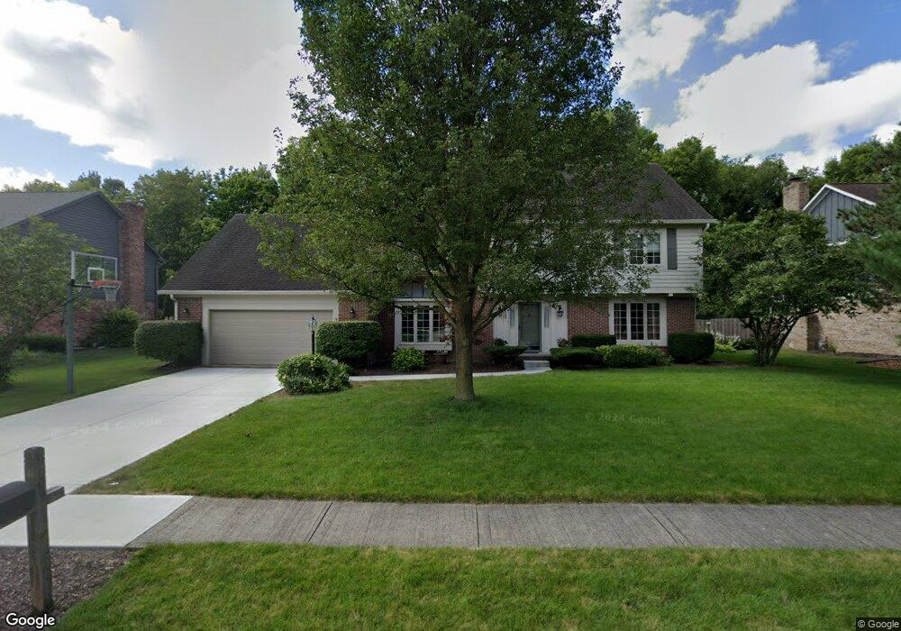
1405 Queensborough Dr Unit n/a Carmel, IN 46033
East Carmel NeighborhoodEstimated Value: $556,000 - $624,993
4
Beds
3
Baths
3,621
Sq Ft
$161/Sq Ft
Est. Value
About This Home
This home is located at 1405 Queensborough Dr Unit n/a, Carmel, IN 46033 and is currently estimated at $581,748, approximately $160 per square foot. 1405 Queensborough Dr Unit n/a is a home located in Hamilton County with nearby schools including Cherry Tree Elementary School, Clay Middle School, and Carmel High School.
Ownership History
Date
Name
Owned For
Owner Type
Purchase Details
Closed on
Aug 9, 2007
Sold by
Christianson Jennifer M and Christianson Patrick J
Bought by
Williams Kent D and Williams Teresa D
Current Estimated Value
Home Financials for this Owner
Home Financials are based on the most recent Mortgage that was taken out on this home.
Original Mortgage
$190,000
Outstanding Balance
$121,095
Interest Rate
6.79%
Mortgage Type
Purchase Money Mortgage
Estimated Equity
$460,653
Purchase Details
Closed on
Jul 9, 2002
Sold by
Hill Jeffrey L and Hill Patti S
Bought by
Christianson Patrick J and Christianson Jennifer M
Home Financials for this Owner
Home Financials are based on the most recent Mortgage that was taken out on this home.
Original Mortgage
$251,900
Interest Rate
6.82%
Mortgage Type
Purchase Money Mortgage
Create a Home Valuation Report for This Property
The Home Valuation Report is an in-depth analysis detailing your home's value as well as a comparison with similar homes in the area
Home Values in the Area
Average Home Value in this Area
Purchase History
| Date | Buyer | Sale Price | Title Company |
|---|---|---|---|
| Williams Kent D | -- | Chicago Title Insurance Co | |
| Christianson Patrick J | -- | -- |
Source: Public Records
Mortgage History
| Date | Status | Borrower | Loan Amount |
|---|---|---|---|
| Open | Williams Kent D | $190,000 | |
| Previous Owner | Christianson Patrick J | $251,900 |
Source: Public Records
Tax History Compared to Growth
Tax History
| Year | Tax Paid | Tax Assessment Tax Assessment Total Assessment is a certain percentage of the fair market value that is determined by local assessors to be the total taxable value of land and additions on the property. | Land | Improvement |
|---|---|---|---|---|
| 2024 | $5,874 | $518,500 | $170,400 | $348,100 |
| 2023 | $4,894 | $452,600 | $106,500 | $346,100 |
| 2022 | $4,243 | $373,700 | $106,500 | $267,200 |
| 2021 | $3,957 | $351,500 | $106,500 | $245,000 |
| 2020 | $3,720 | $329,600 | $106,500 | $223,100 |
| 2019 | $3,628 | $322,800 | $62,700 | $260,100 |
| 2018 | $3,565 | $322,800 | $62,700 | $260,100 |
| 2017 | $3,331 | $302,200 | $62,700 | $239,500 |
| 2016 | $3,285 | $302,200 | $62,700 | $239,500 |
| 2014 | $2,928 | $279,800 | $57,400 | $222,400 |
| 2013 | $2,928 | $266,600 | $57,400 | $209,200 |
Source: Public Records
Map
Nearby Homes
- 1483 Spruce Dr
- 1504 Dorchester Place
- 1816 Spruce Dr
- 781 Dayton Dr
- 651 Hawthorne Dr
- 1910 Spruce Dr
- 14340 Sydney Ln
- 1346 Smokey Row Ln
- 14554 Taylor Trace Dr
- 4655 Allen Dr
- 3172 Smokey Ridge Ln
- 4323 Short Terrace
- 14737 Setters Rd
- 1983 Woodbine Ct
- 14011 Grisham Dr
- 13615 Smokey Hollow Place
- 2945 Millgate Dr
- 2913 Twain Dr
- 14610 Village Park Dr E
- 14916 W Black Wolf Run Dr
- 1405 Queensborough Dr
- 1409 Queensborough Dr
- 1401 Queensborough Dr
- 1456 Spruce Dr
- 1474 Spruce Dr
- 1413 Queensborough Dr
- 1406 Queensborough Dr
- 1138 Woodgate Dr
- 1410 Queensborough Dr
- 1422 Spruce Dr
- 1115 Woodgate Dr
- 1417 Queensborough Dr
- 1127 Woodgate Dr
- 1506 Spruce Dr
- 1414 Queensborough Dr
- 1154 Woodgate Dr
- 1139 Woodgate Dr
- 1465 Spruce Dr
- 1404 Spruce Dr
- 1447 Spruce Dr