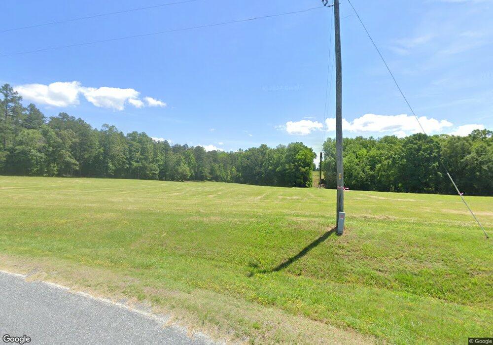
1405 Radar Rd Rutherfordton, NC 28139
Estimated Value: $555,000 - $1,033,648
3
Beds
1
Bath
625
Sq Ft
$1,225/Sq Ft
Est. Value
About This Home
This home is located at 1405 Radar Rd, Rutherfordton, NC 28139 and is currently estimated at $765,412, approximately $1,224 per square foot. 1405 Radar Rd is a home.
Ownership History
Date
Name
Owned For
Owner Type
Purchase Details
Closed on
Jan 27, 2007
Sold by
Johnston Floyd Allen and Johnston Cynthia P
Bought by
Bare John W and Bare Dana M
Current Estimated Value
Purchase Details
Closed on
Aug 31, 2005
Sold by
Friendly Robyn J
Bought by
Johnston Floyd Allen and Johnston Cynthia P
Home Financials for this Owner
Home Financials are based on the most recent Mortgage that was taken out on this home.
Original Mortgage
$324,000
Interest Rate
5.75%
Mortgage Type
Adjustable Rate Mortgage/ARM
Purchase Details
Closed on
Dec 31, 1997
Bought by
Bare John W
Create a Home Valuation Report for This Property
The Home Valuation Report is an in-depth analysis detailing your home's value as well as a comparison with similar homes in the area
Home Values in the Area
Average Home Value in this Area
Purchase History
| Date | Buyer | Sale Price | Title Company |
|---|---|---|---|
| Bare John W | $217,500 | None Available | |
| Johnston Floyd Allen | $361,000 | None Available | |
| Bare John W | -- | -- |
Source: Public Records
Mortgage History
| Date | Status | Borrower | Loan Amount |
|---|---|---|---|
| Previous Owner | Johnston Floyd Allen | $324,000 |
Source: Public Records
Tax History Compared to Growth
Tax History
| Year | Tax Paid | Tax Assessment Tax Assessment Total Assessment is a certain percentage of the fair market value that is determined by local assessors to be the total taxable value of land and additions on the property. | Land | Improvement |
|---|---|---|---|---|
| 2025 | $3,050 | $573,977 | $91,507 | $482,470 |
| 2024 | $2,875 | $443,472 | $83,526 | $359,946 |
| 2023 | $2,830 | $443,472 | $83,526 | $359,946 |
| 2022 | $2,812 | $443,472 | $83,526 | $359,946 |
| 2021 | $2,723 | $443,472 | $83,526 | $359,946 |
| 2020 | $2,652 | $407,262 | $82,430 | $324,832 |
| 2019 | $2,652 | $407,262 | $82,430 | $324,832 |
| 2018 | $2,489 | $407,262 | $82,430 | $324,832 |
| 2017 | $2,407 | $436,553 | $75,775 | $360,778 |
| 2016 | $2,652 | $436,553 | $75,775 | $360,778 |
| 2015 | $2,458 | $0 | $0 | $0 |
| 2014 | $2,458 | $0 | $0 | $0 |
| 2013 | -- | $0 | $0 | $0 |
Source: Public Records
Map
Nearby Homes
- 660 Scoggins Rd
- 660 Scoggins Rd
- 1054 Sandy Springs Rd
- 4600 Peachtree Rd
- 140 Vera Ln
- 251 Vera Ln
- 1550 Airport Rd
- 1480 Airport Rd
- 185 Robinson Acres Ln
- 00A Cooley Springs School Rd
- 4830 Chesnee Rd
- 0 Cooley Springs Shchool Rd Unit 1560360
- 00B Cooley Springs School Rd
- 0 Prince Rd Unit Lot 4 CAR4217750
- 0 Prince Rd Unit 1546693
- 00 Chesnee Rd
- 180 Old Bear Creek Rd
- 158 Bradley Rd
- 174 Way Home Ln
- 58 Lambs Grill Rd
- TBD Radar Rd
- 1310 Radar Rd
- 784 Scoggins Rd
- 786 Scoggins Rd
- 838 Scoggins Rd
- 592 Scoggins Rd
- 1141 Radar Rd
- 767 Scoggins Rd
- 771 Scoggins Rd
- 520 Scoggins Rd
- 685 Scoggins Rd
- 1036 Poors Ford Rd
- 926 Scoggins Rd
- 149 Caro Ln
- 0 Scoggins Rd
- 1280 Sandy Springs Rd
- 611 Scoggins Rd
- 1082 Sandy Springs Rd
- 1530 Sandy Springs Rd
- 391 Scroggins Rd
