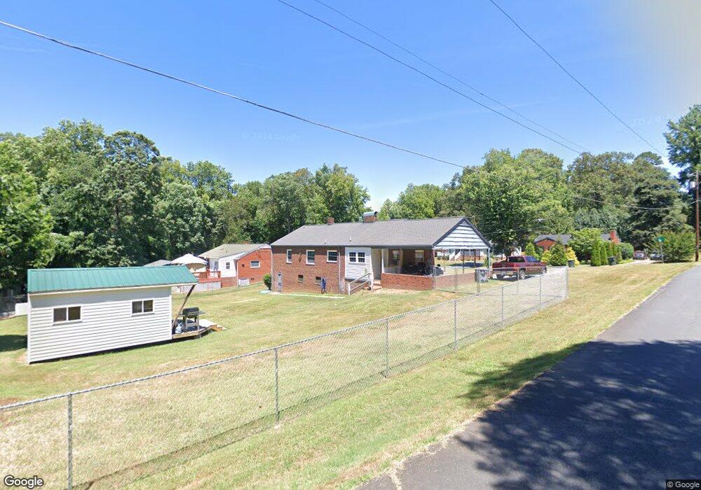
1405 Rolling Rd Asheboro, NC 27205
Estimated Value: $185,000 - $234,000
--
Bed
1
Bath
1,374
Sq Ft
$153/Sq Ft
Est. Value
About This Home
This home is located at 1405 Rolling Rd, Asheboro, NC 27205 and is currently estimated at $210,890, approximately $153 per square foot. 1405 Rolling Rd is a home located in Randolph County with nearby schools including Donna L. Loflin Elementary School, North Asheboro Middle School, and Asheboro High School.
Ownership History
Date
Name
Owned For
Owner Type
Purchase Details
Closed on
Oct 29, 2022
Sold by
Regnier Kay Coltrane and Regnier Ronald E
Bought by
Koser Michael Douglas and Massey Starla Dawn
Current Estimated Value
Home Financials for this Owner
Home Financials are based on the most recent Mortgage that was taken out on this home.
Original Mortgage
$139,874
Outstanding Balance
$135,188
Interest Rate
6.7%
Mortgage Type
New Conventional
Estimated Equity
$75,702
Create a Home Valuation Report for This Property
The Home Valuation Report is an in-depth analysis detailing your home's value as well as a comparison with similar homes in the area
Home Values in the Area
Average Home Value in this Area
Purchase History
| Date | Buyer | Sale Price | Title Company |
|---|---|---|---|
| Koser Michael Douglas | $144,500 | -- |
Source: Public Records
Mortgage History
| Date | Status | Borrower | Loan Amount |
|---|---|---|---|
| Open | Koser Michael Douglas | $139,874 |
Source: Public Records
Tax History Compared to Growth
Tax History
| Year | Tax Paid | Tax Assessment Tax Assessment Total Assessment is a certain percentage of the fair market value that is determined by local assessors to be the total taxable value of land and additions on the property. | Land | Improvement |
|---|---|---|---|---|
| 2025 | $2,196 | $165,320 | $23,950 | $141,370 |
| 2024 | $2,240 | $168,640 | $23,950 | $144,690 |
| 2023 | $2,240 | $168,640 | $23,950 | $144,690 |
| 2022 | $1,607 | $111,500 | $16,550 | $94,950 |
| 2021 | $1,607 | $111,500 | $16,550 | $94,950 |
| 2020 | $1,607 | $111,500 | $16,550 | $94,950 |
| 2019 | $1,607 | $111,500 | $16,550 | $94,950 |
| 2018 | $1,377 | $93,850 | $17,900 | $75,950 |
| 2016 | $1,377 | $93,848 | $17,900 | $75,948 |
| 2015 | $1,380 | $93,848 | $17,900 | $75,948 |
| 2014 | -- | $93,848 | $17,900 | $75,948 |
Source: Public Records
Map
Nearby Homes
- 1263 Winslow Ave Unit A, B & C
- 135 West St
- 830 Sunset Ave
- 923 Arnold St
- 401 Uwharrie St
- 617 Uwharrie St Unit N
- 612 Sunset Ave Unit 6
- 627 Oakmont Dr
- 135 Dixon St
- 631 W Kivett St
- 806 Windermere Ct
- 635 Oakgrove Rd
- 435 Peachtree St
- 627 Lee St
- 828 Windermere Ct
- 516 and 518 Peachtree St
- 536 Oakgrove Rd
- 866 Mountain Rd
- 737 Britt Ave
- 1037 Robbins St
- 1411 Rolling Rd
- 1319 Rolling Rd
- 0 Rolling Rd
- 1404 Rolling Rd
- 1410 Rolling Rd
- 1322 Rolling Rd
- 1309 Rolling Rd
- 1419 Rolling Rd
- 1416 Rolling Rd
- 224 Crestview St
- 221 Crestview St
- 1424 Rolling Rd
- 1303 Rolling Rd
- 1303 Rolling Rd
- 1405 Sunset Ave
- 1411 Sunset Ave
- 1305 Rolling Rd
- 1321 Sunset Ave
- 1435 Rolling Rd
- 1419 Sunset Ave