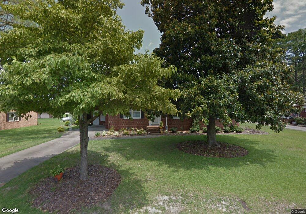
1405 Taylor Dr Williamston, NC 27892
Estimated Value: $156,000 - $207,000
3
Beds
2
Baths
2,696
Sq Ft
$69/Sq Ft
Est. Value
About This Home
This home is located at 1405 Taylor Dr, Williamston, NC 27892 and is currently estimated at $185,983, approximately $68 per square foot. 1405 Taylor Dr is a home located in Martin County with nearby schools including Williamston Primary School, E.J. Hayes Elementary School, and Riverside Middle School.
Ownership History
Date
Name
Owned For
Owner Type
Purchase Details
Closed on
Apr 23, 2020
Sold by
Greene Lane Harris and Greene Alex
Bought by
Harris Cassie Elizabeth
Current Estimated Value
Purchase Details
Closed on
Aug 12, 2015
Sold by
Edwards Rebecca A
Bought by
Mary Jennifer Coltrain Harris Revocable
Purchase Details
Closed on
Mar 21, 2003
Bought by
Harris Jennifer C
Create a Home Valuation Report for This Property
The Home Valuation Report is an in-depth analysis detailing your home's value as well as a comparison with similar homes in the area
Home Values in the Area
Average Home Value in this Area
Purchase History
| Date | Buyer | Sale Price | Title Company |
|---|---|---|---|
| Harris Cassie Elizabeth | $63,500 | None Available | |
| Harris Cassie Elizabeth | $63,500 | None Available | |
| Mary Jennifer Coltrain Harris Revocable | -- | None Available | |
| Mary Jennifer Coltrain Harris Revocable | -- | None Available | |
| Harris Jennifer C | $65,000 | -- | |
| Harris Jennifer C | $65,000 | -- |
Source: Public Records
Tax History
| Year | Tax Paid | Tax Assessment Tax Assessment Total Assessment is a certain percentage of the fair market value that is determined by local assessors to be the total taxable value of land and additions on the property. | Land | Improvement |
|---|---|---|---|---|
| 2025 | $1,433 | $171,960 | $15,500 | $156,460 |
| 2024 | $1,220 | $126,530 | $14,000 | $112,530 |
| 2023 | $1,207 | $126,530 | $14,000 | $112,530 |
| 2022 | $1,207 | $126,530 | $0 | $0 |
| 2021 | $1,207 | $126,530 | $14,000 | $112,530 |
| 2020 | $1,197 | $126,530 | $14,000 | $112,530 |
| 2019 | $1,197 | $126,530 | $0 | $0 |
| 2018 | $1,172 | $126,530 | $0 | $0 |
| 2017 | $1,172 | $126,530 | $0 | $0 |
| 2015 | $1,230 | $143,920 | $0 | $0 |
| 2014 | $1,208 | $143,920 | $0 | $0 |
| 2012 | $1,126 | $143,920 | $0 | $0 |
Source: Public Records
Map
Nearby Homes
- 1005 Pinecrest St
- 203 Faulk St
- 106 Carolina Ave
- 1020 Dixie Trail
- 212 Sunset Dr
- 401 Jamesville Rd
- 107 S McCaskey Rd
- 817 W Main St
- 00 Santree Dr
- 200 1st St
- 803 W Church St
- 607 W Main St
- 109 Wilson St
- 110 N Martin Luther King jr Dr
- 105 N Pearl St
- 210 Williams St
- 1046 Mockingbird Rd
- 806 Park
- 118 Hill St
- 0 Williams St Unit 100543369
Your Personal Tour Guide
Ask me questions while you tour the home.