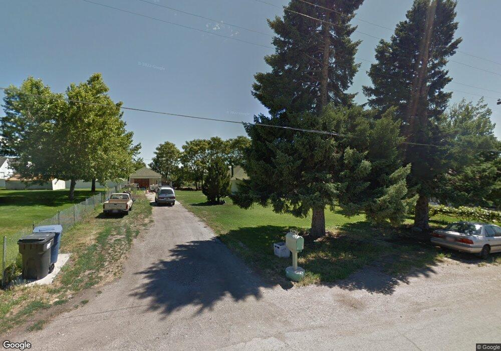
1405 W 2950 S Brigham City, UT 84302
Estimated Value: $346,000 - $408,000
--
Bed
--
Bath
1,059
Sq Ft
$348/Sq Ft
Est. Value
About This Home
This home is located at 1405 W 2950 S, Brigham City, UT 84302 and is currently estimated at $368,519, approximately $347 per square foot. 1405 W 2950 S is a home located in Box Elder County with nearby schools including Three Mile Creek School, Adele C. Young Intermediate School, and Box Elder Middle School.
Ownership History
Date
Name
Owned For
Owner Type
Purchase Details
Closed on
Jul 8, 2022
Sold by
The Rumar Trust
Bought by
Borden 2 Llc
Current Estimated Value
Purchase Details
Closed on
Jan 24, 2022
Sold by
Lyon and Susan
Bought by
Lyon Living Trust
Purchase Details
Closed on
Dec 13, 2021
Sold by
Lyon Bruce Edward and Lyon Susan Little
Bought by
Lyon Bruce Edward and Lyon Susan Little
Create a Home Valuation Report for This Property
The Home Valuation Report is an in-depth analysis detailing your home's value as well as a comparison with similar homes in the area
Home Values in the Area
Average Home Value in this Area
Purchase History
| Date | Buyer | Sale Price | Title Company |
|---|---|---|---|
| Borden 2 Llc | -- | Hickman Land Title | |
| Lyon Living Trust | -- | None Listed On Document | |
| Lyon Bruce Edward | -- | None Available | |
| Lyon Living Trust | -- | King Felshaw |
Source: Public Records
Tax History Compared to Growth
Tax History
| Year | Tax Paid | Tax Assessment Tax Assessment Total Assessment is a certain percentage of the fair market value that is determined by local assessors to be the total taxable value of land and additions on the property. | Land | Improvement |
|---|---|---|---|---|
| 2025 | $1,735 | $337,861 | $165,000 | $172,861 |
| 2024 | $1,735 | $282,721 | $160,000 | $122,721 |
| 2023 | $1,579 | $294,440 | $160,000 | $134,440 |
| 2022 | $1,274 | $222,131 | $65,000 | $157,131 |
| 2021 | $1,192 | $154,871 | $65,000 | $89,871 |
| 2020 | $1,015 | $154,871 | $65,000 | $89,871 |
| 2019 | $776 | $62,939 | $33,000 | $29,939 |
| 2018 | $783 | $59,034 | $33,000 | $26,034 |
| 2017 | $808 | $107,334 | $33,000 | $47,334 |
| 2016 | $814 | $57,794 | $33,000 | $24,794 |
| 2015 | $783 | $55,540 | $33,000 | $22,540 |
| 2014 | $783 | $54,467 | $32,010 | $22,457 |
| 2013 | -- | $52,425 | $32,010 | $20,415 |
Source: Public Records
Map
Nearby Homes
- 1273 W 3200 S Unit 6
- 1480 W 3275 S
- 3295 S 1500 W
- 1257 W 3275 S
- 2975 S 1080 W
- 1424 W 3325 S
- 2925 S Highway 89 Unit 1
- 2925 S Highway 89 Unit 15
- 2925 S Highway 89 Unit 12
- 2460 S 1350 W
- 2484 S 900 W
- 2548 S 700 W
- Northfield Plan at West Meadows
- Everley Plan at West Meadows
- Scottsford Plan at West Meadows
- Pembroke Plan at West Meadows
- Hallwood Plan at West Meadows
- Winfield Plan at West Meadows
- Xavier Plan at West Meadows
- Ravenstone Plan at West Meadows
- 1385 W 2950 S
- 1415 W 2950 S
- 1425 W 2950 S
- 1425 W 2950 S Unit 2
- 2980 S 1355 W
- 1380 W 2950 S
- 1435 W 2950 S
- 1375 W 2950 S
- 1345 W 2950 S
- 1455 W 2950 S
- 2975 S 1355 W Unit 29
- 1445 W 2950 S
- 1382 W 3030 S Unit 40
- 1460 W 2950 S
- 1460 W 2950 S
- 1335 W 2950 S
- 1394 W 3030 S Unit 41
- 2995 S 1355 W Unit 28
- 1366 W 3030 S Unit 39
- 1412 W 3030 S Unit 42