1405 Walsh Dr Round Rock, TX 78681
Brushy Creek NeighborhoodEstimated Value: $778,000 - $927,000
4
Beds
3
Baths
3,236
Sq Ft
$265/Sq Ft
Est. Value
About This Home
This home is located at 1405 Walsh Dr, Round Rock, TX 78681 and is currently estimated at $858,405, approximately $265 per square foot. 1405 Walsh Dr is a home located in Williamson County with nearby schools including Brushy Creek Elementary School, Cedar Valley Middle School, and Round Rock High School.
Ownership History
Date
Name
Owned For
Owner Type
Purchase Details
Closed on
Apr 28, 2008
Sold by
Henry Heather N and Henry Heather
Bought by
Amundson Elizabeth
Current Estimated Value
Home Financials for this Owner
Home Financials are based on the most recent Mortgage that was taken out on this home.
Original Mortgage
$296,000
Outstanding Balance
$189,698
Interest Rate
6.11%
Mortgage Type
Purchase Money Mortgage
Estimated Equity
$668,707
Create a Home Valuation Report for This Property
The Home Valuation Report is an in-depth analysis detailing your home's value as well as a comparison with similar homes in the area
Home Values in the Area
Average Home Value in this Area
Purchase History
| Date | Buyer | Sale Price | Title Company |
|---|---|---|---|
| Amundson Elizabeth | -- | Heritage Title |
Source: Public Records
Mortgage History
| Date | Status | Borrower | Loan Amount |
|---|---|---|---|
| Open | Amundson Elizabeth | $296,000 |
Source: Public Records
Tax History Compared to Growth
Tax History
| Year | Tax Paid | Tax Assessment Tax Assessment Total Assessment is a certain percentage of the fair market value that is determined by local assessors to be the total taxable value of land and additions on the property. | Land | Improvement |
|---|---|---|---|---|
| 2025 | $7,395 | $758,450 | $389,739 | $368,711 |
| 2024 | $7,395 | $793,392 | -- | -- |
| 2023 | $7,350 | $721,265 | $0 | $0 |
| 2022 | $10,820 | $655,695 | $0 | $0 |
| 2021 | $11,360 | $596,086 | $247,671 | $365,323 |
| 2020 | $10,396 | $541,896 | $193,884 | $348,012 |
| 2019 | $9,905 | $498,060 | $154,311 | $343,749 |
| 2018 | $9,747 | $506,923 | $154,311 | $352,612 |
| 2017 | $9,808 | $482,967 | $154,311 | $328,656 |
| 2016 | $9,238 | $454,861 | $139,264 | $323,537 |
| 2015 | $7,456 | $413,510 | $139,264 | $307,367 |
| 2014 | $7,456 | $375,918 | $0 | $0 |
Source: Public Records
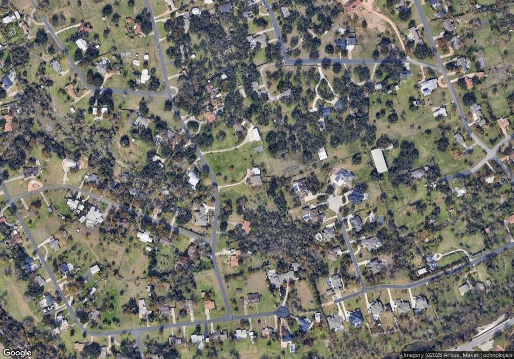
Map
Nearby Homes
- 913 Spring Tree St
- 718 Walsh Hill Trail
- 1400 Hargis Creek Trail
- 1910 Walsh Dr
- 1905 Brushy Bend Dr
- 3912 Hillside Dr
- 809 Stillhouse Spring
- 4518 Zacharys Run
- 3915 Hillside Dr
- 519 Cameron Cove
- 4011 Hillside Dr
- 308 Walsh Glen Dr
- 4511 Zacharys Run
- 1905 Great Oaks Dr
- 614 Spanish Mustang Dr
- 1804 Wind Spirit Cove
- 7203 Two Jacks Trail
- 3917 Rolling Hill
- 4211 Oldenburg Ln
- 9011 Wildwater Way
- 1466 Mayfield Ranch Blvd Unit 304
- 1401 Walsh Dr
- 1500 Walsh Dr
- 1501 Walsh Dr
- 1017 Hidden Ridge Ct
- 1400 Walsh Dr
- 1504 Walsh Dr
- 1507 Walsh Dr
- 4304 Crestridge Dr
- 1303 Walsh Dr
- 1508 Walsh Dr
- 4308 Crestridge Dr
- 1600 Oak Forest Dr Unit A
- 1600 Oak Forest Dr
- 1511 Walsh Dr
- 1016 Hidden Ridge Ct
- 1009 Hidden Ridge Ct
- 901 Brushy Bend Dr
- 4305 Crestridge Dr
- 4103 Spanish Oak Dr