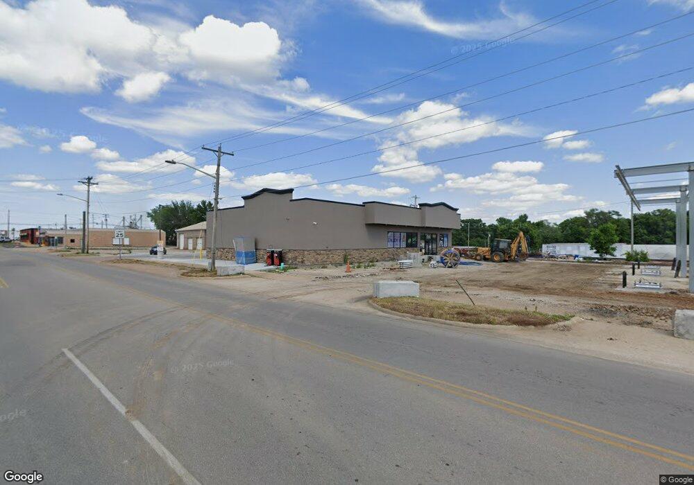
14050 Highway Kk Lebanon, MO 65536
Estimated Value: $452,000 - $464,000
5
Beds
3
Baths
3,690
Sq Ft
$124/Sq Ft
Est. Value
About This Home
This home is located at 14050 Highway Kk, Lebanon, MO 65536 and is currently estimated at $459,365, approximately $124 per square foot. 14050 Highway Kk is a home located in Laclede County with nearby schools including Joel E. Barber Elementary School.
Ownership History
Date
Name
Owned For
Owner Type
Purchase Details
Closed on
Dec 18, 2020
Sold by
Gill Francis D and Gill Kathryn
Bought by
Hall Thomas L and Hall Carrie
Current Estimated Value
Home Financials for this Owner
Home Financials are based on the most recent Mortgage that was taken out on this home.
Original Mortgage
$336,700
Outstanding Balance
$299,763
Interest Rate
2.7%
Mortgage Type
VA
Estimated Equity
$159,602
Purchase Details
Closed on
Oct 8, 2020
Sold by
Pernaselli Mary E and Pernaselli John
Bought by
Gill Francis D and Gill Kathryn
Purchase Details
Closed on
Aug 20, 2014
Sold by
Pernaselli Mary and Gill Mary
Bought by
Gill Francis and Gill Kathryn
Purchase Details
Closed on
Dec 6, 2011
Sold by
Lundy Terry
Bought by
Gill Francis D and Gill Mary E
Home Financials for this Owner
Home Financials are based on the most recent Mortgage that was taken out on this home.
Original Mortgage
$311,900
Interest Rate
4.02%
Mortgage Type
VA
Create a Home Valuation Report for This Property
The Home Valuation Report is an in-depth analysis detailing your home's value as well as a comparison with similar homes in the area
Home Values in the Area
Average Home Value in this Area
Purchase History
| Date | Buyer | Sale Price | Title Company |
|---|---|---|---|
| Hall Thomas L | -- | Hogan Land Title | |
| Gill Francis D | -- | None Available | |
| Gill Francis | -- | None Available | |
| Gill Francis D | -- | None Available |
Source: Public Records
Mortgage History
| Date | Status | Borrower | Loan Amount |
|---|---|---|---|
| Open | Hall Thomas L | $336,700 | |
| Previous Owner | Gill Francis D | $311,900 |
Source: Public Records
Tax History Compared to Growth
Tax History
| Year | Tax Paid | Tax Assessment Tax Assessment Total Assessment is a certain percentage of the fair market value that is determined by local assessors to be the total taxable value of land and additions on the property. | Land | Improvement |
|---|---|---|---|---|
| 2025 | $1,552 | $43,370 | $0 | $0 |
| 2024 | $1,552 | $35,880 | $0 | $0 |
| 2023 | $1,542 | $35,880 | $0 | $0 |
| 2022 | $1,542 | $35,880 | $0 | $0 |
| 2021 | $1,489 | $35,967 | $1,045 | $34,922 |
| 2020 | $1,498 | $35,967 | $1,045 | $34,922 |
| 2019 | $1,514 | $35,880 | $960 | $34,920 |
| 2018 | $1,427 | $35,900 | $980 | $34,920 |
| 2017 | $1,440 | $35,900 | $0 | $0 |
| 2016 | $1,440 | $35,900 | $0 | $0 |
| 2015 | $1,440 | $35,900 | $0 | $0 |
| 2014 | $1,440 | $35,880 | $0 | $0 |
| 2013 | -- | $35,880 | $0 | $0 |
Source: Public Records
Map
Nearby Homes
- 23315 Marvel Dr
- 23350 Marvel Dr
- 25190 McDonald Dr
- 24679 Mineral Dr
- 24960 Mcclurg Dr
- 13704 Golden Leaf Ln
- 000 County Road 64-879m
- 16525 Finch Rd
- Tract Q Galaxy Ln
- Tract P Galaxy Ln
- Tract D Golden Ln
- Tract F Galaxy Ln
- Tract C Golden Ln
- Tract G Golden Ln
- Tbd 1 Glory Ln
- Tract B Glory Ln
- 14675 Edison Rd
- 25195 Mcbride Dr
- 0 County Road Oo-870
- 12913 Highway 64
- 14050 Highway Kk
- 13976 Highway Kk
- 14120 Highway Kk
- 14120 Highway Kk
- 14120 Highway Kk
- 14120 Highway Kk
- 14121 Highway Kk
- 14121 Highway Kk
- 14121 Highway Kk
- 14121 Highway Kk
- 14121 Highway Kk
- 14100 Highway Kk
- 14100 Highway Kk
- 14160 Foxtail Rd
- 14195 Highway Kk
- 13724 Highway Kk
- 13724 State Highway Kk
- 22851 County Road 64-959
- 0 Highway Kk Unit 14028903
