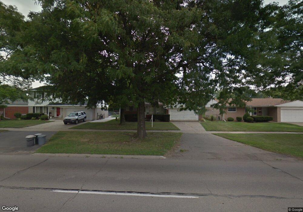
14052 Merriman Rd Unit Bldg-Unit Livonia, MI 48154
Estimated Value: $286,000 - $300,259
3
Beds
2
Baths
1,163
Sq Ft
$251/Sq Ft
Est. Value
About This Home
This home is located at 14052 Merriman Rd Unit Bldg-Unit, Livonia, MI 48154 and is currently estimated at $291,815, approximately $250 per square foot. 14052 Merriman Rd Unit Bldg-Unit is a home located in Wayne County with nearby schools including Roosevelt Elementary School, Emerson Middle School, and Cooper Upper Elementary School.
Ownership History
Date
Name
Owned For
Owner Type
Purchase Details
Closed on
Dec 28, 2020
Sold by
Douglas Gregory J
Bought by
Levoska Bryan Donald
Current Estimated Value
Home Financials for this Owner
Home Financials are based on the most recent Mortgage that was taken out on this home.
Original Mortgage
$186,558
Outstanding Balance
$165,709
Interest Rate
2.7%
Mortgage Type
FHA
Estimated Equity
$126,106
Purchase Details
Closed on
Nov 4, 2015
Sold by
Schebel George A and Schebel Victoria A
Bought by
Douglas Gregory J
Create a Home Valuation Report for This Property
The Home Valuation Report is an in-depth analysis detailing your home's value as well as a comparison with similar homes in the area
Home Values in the Area
Average Home Value in this Area
Purchase History
| Date | Buyer | Sale Price | Title Company |
|---|---|---|---|
| Levoska Bryan Donald | $190,000 | Century Title Agency Svcs | |
| Douglas Gregory J | $95,000 | Paramount Title Agency Llc |
Source: Public Records
Mortgage History
| Date | Status | Borrower | Loan Amount |
|---|---|---|---|
| Open | Levoska Bryan Donald | $186,558 |
Source: Public Records
Tax History Compared to Growth
Tax History
| Year | Tax Paid | Tax Assessment Tax Assessment Total Assessment is a certain percentage of the fair market value that is determined by local assessors to be the total taxable value of land and additions on the property. | Land | Improvement |
|---|---|---|---|---|
| 2025 | $2,414 | $129,100 | $0 | $0 |
| 2024 | $2,414 | $121,400 | $0 | $0 |
| 2023 | $2,303 | $108,400 | $0 | $0 |
| 2022 | $4,045 | $100,100 | $0 | $0 |
| 2021 | $3,929 | $95,900 | $0 | $0 |
| 2019 | $4,208 | $83,100 | $0 | $0 |
| 2018 | $2,137 | $74,200 | $0 | $0 |
| 2017 | $3,903 | $69,800 | $0 | $0 |
| 2016 | $3,962 | $69,800 | $0 | $0 |
| 2015 | $5,282 | $59,470 | $0 | $0 |
| 2012 | -- | $52,250 | $13,500 | $38,750 |
Source: Public Records
Map
Nearby Homes
- 14164 Bainbridge St
- 14109 Arden St
- 14154 Hubbell St
- 14292 Hubbell St
- 14327 Arden St
- 31126 Grennada St
- 31221 Lyndon St
- 14127 Hillcrest St
- 14563 Melrose St
- 30831 Lyndon St
- 14214 Cranston St
- 30261 Buckingham St
- 14677 Auburndale St
- 32136 Lyndon St
- 15040 Berwick St
- 32925 Martin St
- 32950 Perth St
- 29831 Oakley St
- 29631 Lyndon St
- 15075 Hubbard St Unit 5
- 14052 Merriman Rd
- 14064 Merriman Rd
- 14040 Merriman Rd
- 14019 Denne St
- 14076 Merriman Rd
- 14007 Denne St
- 14031 Denne St
- 14043 Denne St
- 14100 Merriman Rd
- 31411 Scone St
- 31331 Kendall St
- 14055 Denne St
- 14112 Merriman Rd
- 31319 Kendall St
- 31408 Scone St
- 14024 Denne St
- 14103 Denne St
- 14124 Merriman Rd
- 14036 Denne St
- 31306 Kendall St