14055 Nesting Way Unit 10 Delray Beach, FL 33484
Palm Greens NeighborhoodEstimated Value: $188,186 - $249,000
2
Beds
2
Baths
1,255
Sq Ft
$173/Sq Ft
Est. Value
About This Home
This home is located at 14055 Nesting Way Unit 10, Delray Beach, FL 33484 and is currently estimated at $217,547, approximately $173 per square foot. 14055 Nesting Way Unit 10 is a home located in Palm Beach County with nearby schools including Banyan Creek Elementary School, Carver Community Middle School, and Atlantic High School.
Ownership History
Date
Name
Owned For
Owner Type
Purchase Details
Closed on
Feb 11, 2019
Sold by
Epstein Gene Robert
Bought by
Epstein Gene Robert
Current Estimated Value
Purchase Details
Closed on
Oct 30, 2018
Sold by
Marks Richard H and Marks Carol A
Bought by
Epstein Gene Robert
Home Financials for this Owner
Home Financials are based on the most recent Mortgage that was taken out on this home.
Original Mortgage
$105,600
Outstanding Balance
$92,108
Interest Rate
4.7%
Mortgage Type
New Conventional
Estimated Equity
$125,439
Create a Home Valuation Report for This Property
The Home Valuation Report is an in-depth analysis detailing your home's value as well as a comparison with similar homes in the area
Home Values in the Area
Average Home Value in this Area
Purchase History
| Date | Buyer | Sale Price | Title Company |
|---|---|---|---|
| Epstein Gene Robert | -- | None Available | |
| Epstein Gene Robert | $132,000 | Sunbelt Title Agency |
Source: Public Records
Mortgage History
| Date | Status | Borrower | Loan Amount |
|---|---|---|---|
| Open | Epstein Gene Robert | $105,600 |
Source: Public Records
Tax History
| Year | Tax Paid | Tax Assessment Tax Assessment Total Assessment is a certain percentage of the fair market value that is determined by local assessors to be the total taxable value of land and additions on the property. | Land | Improvement |
|---|---|---|---|---|
| 2025 | $833 | $121,867 | -- | -- |
| 2024 | $833 | $118,432 | -- | -- |
| 2023 | $1,578 | $114,983 | $0 | $0 |
| 2022 | $1,546 | $111,634 | $0 | $0 |
| 2021 | $1,508 | $108,383 | $0 | $0 |
| 2020 | $1,490 | $106,887 | $0 | $106,887 |
| 2019 | $2,149 | $103,044 | $0 | $103,044 |
| 2018 | $1,810 | $98,044 | $0 | $98,044 |
| 2017 | $1,736 | $98,044 | $0 | $0 |
| 2016 | $1,697 | $65,948 | $0 | $0 |
| 2015 | $1,524 | $59,953 | $0 | $0 |
| 2014 | $1,342 | $54,503 | $0 | $0 |
Source: Public Records
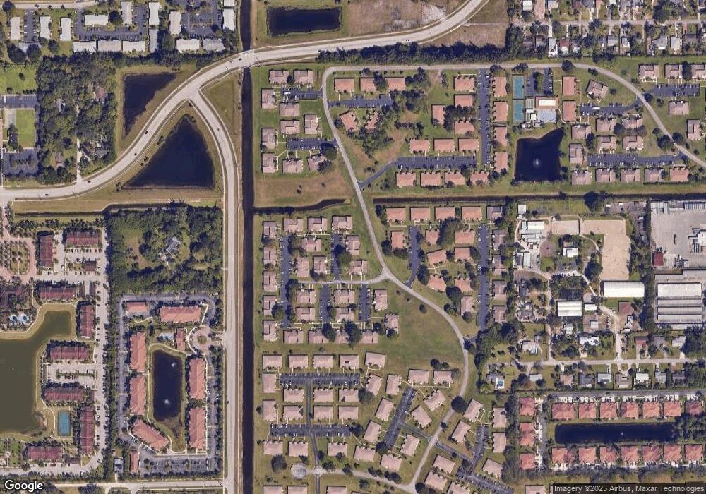
Map
Nearby Homes
- 14079 Nesting Way Unit B
- 14067 Nesting Way Unit C
- 14050 Nesting Way Unit 20
- 14080 Nesting Way Unit 10
- 14151 Nesting Way Unit A
- 14110 Nesting Way Unit 10
- 5301 Lakefront Blvd Unit D
- 13941 Nesting Way Unit C
- 5260 Nesting Way Unit 20
- 5397 Lakefront Blvd Unit A
- 13930 Nesting Way Unit 30
- 5270 Nesting Way Unit 20
- 5265 Lakefront Blvd Unit C
- 13950 Nesting Way Unit C
- 13929 Nesting Way Unit B
- 5220 Nesting Way Unit 40
- 14240 Nesting Way Unit D
- 13682 Via Flora Unit A
- 13682 Via Flora Unit H
- 5080 Nesting Way Unit A
- 14055 Nesting Way Unit D
- 14055 Nesting Way Unit B
- 14055 Nesting Way Unit A
- 14055 Nesting Way Unit 40
- 14055 Nesting Way Unit 20
- 14055 Nesting Way Unit 30
- 14055 Nesting Way Unit C
- 14049 Nesting Way Unit A
- 14049 Nesting Way Unit 10
- 14049 Nesting Way Unit 30
- 14049 Nesting Way Unit 40
- 14049 Nesting Way Unit 20
- 14049 Nesting Way Unit C
- 14061 Nesting Way Unit C
- 14061 Nesting Way Unit D
- 14061 Nesting Way Unit A
- 14061 Nesting Way Unit 20
- 14061 Nesting Way Unit 10
- 14061 Nesting Way Unit 30
- 14061 Nesting Way Unit 40
Your Personal Tour Guide
Ask me questions while you tour the home.