1406 Airport Rd Vandergrift, PA 15690
Estimated Value: $275,000 - $337,826
3
Beds
2
Baths
1,289
Sq Ft
$239/Sq Ft
Est. Value
About This Home
This home is located at 1406 Airport Rd, Vandergrift, PA 15690 and is currently estimated at $307,957, approximately $238 per square foot. 1406 Airport Rd is a home with nearby schools including Kiski Area High School.
Ownership History
Date
Name
Owned For
Owner Type
Purchase Details
Closed on
May 8, 1998
Bought by
George Brent A
Current Estimated Value
Purchase Details
Closed on
Feb 20, 1998
Bought by
George Brent A
Purchase Details
Closed on
May 7, 1996
Purchase Details
Closed on
May 23, 1990
Create a Home Valuation Report for This Property
The Home Valuation Report is an in-depth analysis detailing your home's value as well as a comparison with similar homes in the area
Home Values in the Area
Average Home Value in this Area
Purchase History
| Date | Buyer | Sale Price | Title Company |
|---|---|---|---|
| George Brent A | $122,000 | -- | |
| George Brent A | -- | -- | |
| -- | $110,500 | -- | |
| -- | $9,000 | -- |
Source: Public Records
Tax History
| Year | Tax Paid | Tax Assessment Tax Assessment Total Assessment is a certain percentage of the fair market value that is determined by local assessors to be the total taxable value of land and additions on the property. | Land | Improvement |
|---|---|---|---|---|
| 2025 | $5,657 | $75,970 | $42,210 | $33,760 |
| 2024 | $5,226 | $75,970 | $42,210 | $33,760 |
| 2023 | $4,306 | $75,970 | $42,210 | $33,760 |
| 2022 | $4,306 | $75,970 | $42,210 | $33,760 |
| 2021 | $4,300 | $75,970 | $42,210 | $33,760 |
| 2020 | $4,355 | $75,970 | $42,210 | $33,760 |
| 2019 | $4,352 | $75,970 | $42,210 | $33,760 |
| 2018 | $4,267 | $60,305 | $12,080 | $48,225 |
| 2017 | $4,169 | $75,970 | $42,210 | $33,760 |
| 2016 | $4,048 | $75,970 | $42,210 | $33,760 |
| 2015 | $3,754 | $75,970 | $42,210 | $33,760 |
| 2014 | $3,754 | $75,970 | $42,210 | $33,760 |
Source: Public Records
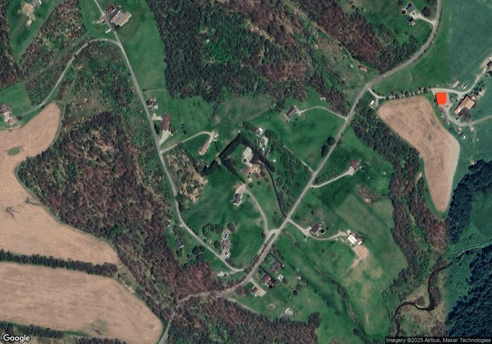
Map
Nearby Homes
- 1252 Jefferson St
- 1212 Gravel Bar Rd
- 1116 Grant St
- 133 Sherman Ave
- 137 Sherman Ave
- 820 Third Ave
- 817 3rd St
- 107 Sumner Ave
- 411 Center St
- 247 Sherman Ave
- 109 Washington Ave
- 122 Hamilton Ave
- 166 Grant Ave
- 172 Franklin Ave
- 219 Quay St
- 310 Chestnut St
- 311 Elm St
- 597 Market St
- 250 Kennedy Ave
- 324 Beech St
- 1410 Airport Rd
- 1390 Airport Rd
- 1378 Airport Rd
- 1118 Fitzgerald Ln
- 1417 Airport Rd
- 1421 Airport Rd
- 1423 Airport Rd
- 1178 Fitzgerald Ln
- 1453 Airport Rd
- 1348 Airport Rd
- 1461 Airport Rd
- 1340 Airport Rd
- 1181 Fitzgerald Ln
- 1130 Coulter Ln
- 1466 Airport Rd
- R.R. #1 Airport Rd
- 1338 Airport Rd
- 1111 Frosty Hollow Ln
- 1471 Airport Rd
- 1264 Stitts Run Rd
Your Personal Tour Guide
Ask me questions while you tour the home.