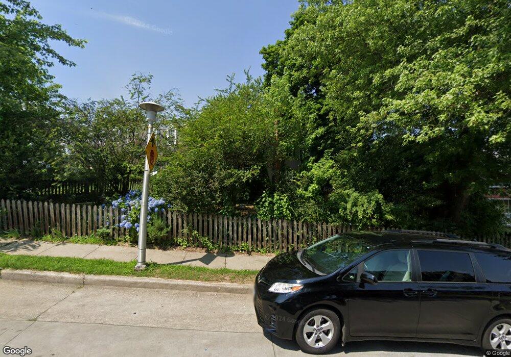
1406 Limit Ave Baltimore, MD 21239
Idlewood NeighborhoodEstimated Value: $216,173 - $233,000
Studio
3
Baths
1,152
Sq Ft
$195/Sq Ft
Est. Value
About This Home
This home is located at 1406 Limit Ave, Baltimore, MD 21239 and is currently estimated at $224,587, approximately $194 per square foot. 1406 Limit Ave is a home located in Baltimore City with nearby schools including Leith Walk Elementary School, Booker T. Washington Middle School, and Paul Laurence Dunbar High School.
Ownership History
Date
Name
Owned For
Owner Type
Purchase Details
Closed on
Aug 1, 2005
Sold by
Kessler Maureen R
Bought by
Schneider Randy P
Current Estimated Value
Purchase Details
Closed on
Jul 18, 2005
Sold by
Kessler Maureen R
Bought by
Schneider Randy P
Purchase Details
Closed on
Feb 10, 2005
Sold by
Brooks Dawn M
Bought by
Kessler Maureen R
Purchase Details
Closed on
Jul 24, 1997
Sold by
Seeman Joel
Bought by
Brooks Dawn M
Create a Home Valuation Report for This Property
The Home Valuation Report is an in-depth analysis detailing your home's value as well as a comparison with similar homes in the area
Home Values in the Area
Average Home Value in this Area
Purchase History
| Date | Buyer | Sale Price | Title Company |
|---|---|---|---|
| Schneider Randy P | $155,000 | -- | |
| Schneider Randy P | $155,000 | -- | |
| Kessler Maureen R | $66,500 | -- | |
| Brooks Dawn M | $63,000 | -- |
Source: Public Records
Tax History Compared to Growth
Tax History
| Year | Tax Paid | Tax Assessment Tax Assessment Total Assessment is a certain percentage of the fair market value that is determined by local assessors to be the total taxable value of land and additions on the property. | Land | Improvement |
|---|---|---|---|---|
| 2025 | $2,949 | $150,400 | -- | -- |
| 2024 | $2,949 | $137,400 | $30,000 | $107,400 |
| 2023 | $2,904 | $135,833 | $0 | $0 |
| 2022 | $2,871 | $134,267 | $0 | $0 |
| 2021 | $3,132 | $132,700 | $30,000 | $102,700 |
| 2020 | $2,729 | $127,933 | $0 | $0 |
| 2019 | $2,602 | $123,167 | $0 | $0 |
| 2018 | $2,573 | $118,400 | $30,000 | $88,400 |
| 2017 | $2,602 | $118,400 | $0 | $0 |
| 2016 | $2,646 | $118,400 | $0 | $0 |
| 2015 | $2,646 | $128,000 | $0 | $0 |
| 2014 | $2,646 | $128,000 | $0 | $0 |
Source: Public Records
Map
Nearby Homes
- 6415 Falkirk Rd
- 6216 Falkirk Rd
- 1283 Cedarcroft Rd
- 1255 Cedarcroft Rd
- 6702 Queens Ferry Rd
- 1235 Walker Ave
- 1371 E Northern Pkwy
- 6022 Loch Raven Blvd
- 1206 Cedarcroft Rd
- 1117 Walker Ave
- 5933 Leith Walk
- 6745 Glenkirk Rd
- 5911 Glenkirk Rd
- 6416 Sherwood Rd
- 1101 Gittings Ave
- 5907 Leith Walk
- 1204 Saint Andrews Way
- 6138 Dunroming Rd
- 61 Ashlar Hill Ct
- 6231 Northwood Dr
- 1404 Limit Ave
- 1408 Limit Ave
- 1402 Limit Ave
- 1410 Limit Ave
- 1400 Limit Ave
- 1412 Limit Ave
- 1414 Limit Ave
- 6401 Loch Crest Ct
- 6401 Loch Crest Rd
- 1416 Limit Ave
- 6403 Loch Crest Ct
- 1413 Limit Ave
- 1415 Limit Ave
- 1417 Limit Ave
- 6405 Loch Crest Ct
- 1411 Limit Ave
- 1419 Limit Ave
- 1418 Limit Ave
- 1421 Limit Ave
- 1409 Limit Ave
