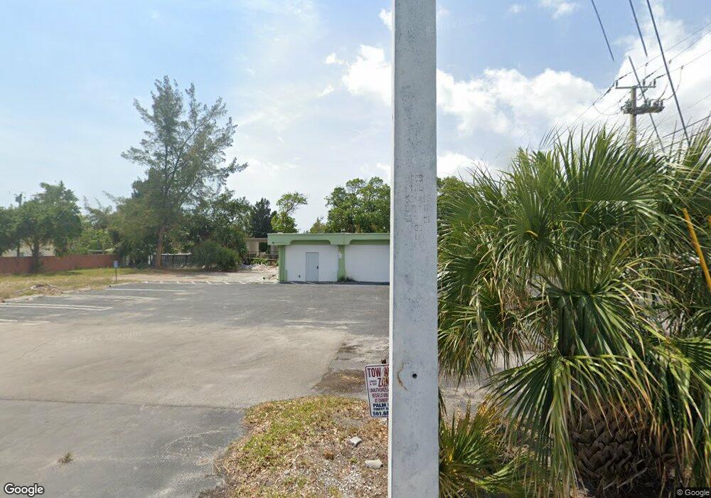
1406 N Federal Hwy Boynton Beach, FL 33435
Downtown Boynton NeighborhoodEstimated Value: $1,660,533
--
Bed
--
Bath
1,560
Sq Ft
$1,064/Sq Ft
Est. Value
About This Home
This home is located at 1406 N Federal Hwy, Boynton Beach, FL 33435 and is currently estimated at $1,660,533, approximately $1,064 per square foot. 1406 N Federal Hwy is a home located in Palm Beach County with nearby schools including Rolling Green Elementary School, Boynton Beach Community High School, and Calf Pen Meadow Elementary School.
Ownership History
Date
Name
Owned For
Owner Type
Purchase Details
Closed on
Jul 5, 2005
Sold by
L B J Marina Enterprises Inc
Bought by
Peters 1406 N Federal Highway Llc
Current Estimated Value
Purchase Details
Closed on
Nov 7, 1994
Sold by
Merges F Bruce
Bought by
L B J Marina Ent Inc
Home Financials for this Owner
Home Financials are based on the most recent Mortgage that was taken out on this home.
Original Mortgage
$132,500
Interest Rate
9.01%
Mortgage Type
Commercial
Create a Home Valuation Report for This Property
The Home Valuation Report is an in-depth analysis detailing your home's value as well as a comparison with similar homes in the area
Home Values in the Area
Average Home Value in this Area
Purchase History
| Date | Buyer | Sale Price | Title Company |
|---|---|---|---|
| Peters 1406 N Federal Highway Llc | $1,000,000 | -- | |
| L B J Marina Ent Inc | $152,500 | -- |
Source: Public Records
Mortgage History
| Date | Status | Borrower | Loan Amount |
|---|---|---|---|
| Previous Owner | L B J Marina Ent Inc | $132,500 |
Source: Public Records
Tax History Compared to Growth
Tax History
| Year | Tax Paid | Tax Assessment Tax Assessment Total Assessment is a certain percentage of the fair market value that is determined by local assessors to be the total taxable value of land and additions on the property. | Land | Improvement |
|---|---|---|---|---|
| 2024 | $12,947 | $565,986 | -- | -- |
| 2023 | $12,275 | $514,533 | $595,707 | $88,895 |
| 2022 | $11,599 | $467,757 | $0 | $0 |
| 2021 | $9,748 | $425,234 | $355,439 | $69,795 |
| 2020 | $9,841 | $426,371 | $355,439 | $70,932 |
| 2019 | $9,515 | $406,524 | $338,418 | $68,106 |
| 2018 | $9,051 | $395,143 | $328,490 | $66,653 |
| 2017 | $8,815 | $379,803 | $312,888 | $66,915 |
| 2016 | $7,699 | $343,303 | $0 | $0 |
| 2015 | $7,524 | $326,184 | $0 | $0 |
| 2014 | $7,477 | $320,853 | $0 | $0 |
Source: Public Records
Map
Nearby Homes
- 2040 Murano Bay Dr
- 3010 Murano Bay Dr
- 634 Ocean Inlet Dr
- 718 Shore Dr
- 651 Ocean Inlet Dr
- 626 Mariners Way
- 718 Ocean Inlet Dr
- 662 Mariners Way
- 635 NE 15th Place
- 720 Mariners Way
- 401 NE 12th Ave
- 815 South Rd
- 424 NE 15th Ct
- 718 NE 12th Terrace Unit 4
- 732 Rider Rd
- 320 NE 13th Ave
- 309 NE 11th Ave
- 728 NE 9th Ave
- 617 NE 8th Ave
- 711 NE 8th Ave
- 1310 N Federal Hwy
- 620 North Rd
- 623 South Rd
- 622 South Rd
- 630 North Rd
- 629 South Rd
- 628 South Rd
- 623 NE 12th Ave
- 1020 Murano Bay Dr
- 1030 Murano Bay Dr
- 1010 Murano Bay Dr
- 1040 Murano Bay Dr Unit 5
- 1040 Murano Bay Dr
- 2000 Murano Bay Dr
- 2010 Murano Bay Dr
- 2020 Murano Bay Dr
- 2030 Murano Bay Dr Unit 9
- 2030 Murano Bay Dr
- 640 N North Rd
- 636 South Rd