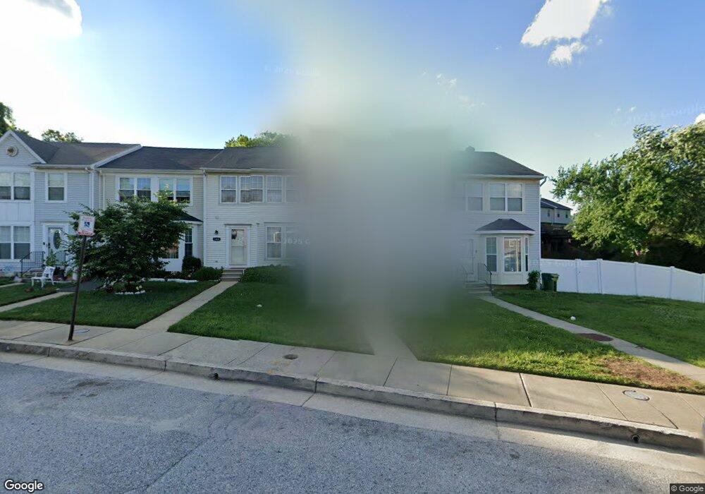
1406 Olmstead St Curtis Bay, MD 21226
Curtis Bay NeighborhoodEstimated Value: $164,000 - $185,266
--
Bed
2
Baths
1,116
Sq Ft
$156/Sq Ft
Est. Value
About This Home
This home is located at 1406 Olmstead St, Curtis Bay, MD 21226 and is currently estimated at $174,633, approximately $156 per square foot. 1406 Olmstead St is a home located in Baltimore City with nearby schools including Curtis Bay Elementary School, Booker T. Washington Middle School, and Benjamin Franklin High School.
Ownership History
Date
Name
Owned For
Owner Type
Purchase Details
Closed on
Apr 18, 2002
Sold by
Secretary Of Housing & Urban
Bought by
Bradford Shalmaira
Current Estimated Value
Purchase Details
Closed on
Dec 5, 2001
Sold by
Homeside Lending Inc
Bought by
Secretary Of Housing & Urban and Development
Purchase Details
Closed on
May 23, 1997
Sold by
Harris Hill Llc
Bought by
Henson Lashawn
Create a Home Valuation Report for This Property
The Home Valuation Report is an in-depth analysis detailing your home's value as well as a comparison with similar homes in the area
Home Values in the Area
Average Home Value in this Area
Purchase History
| Date | Buyer | Sale Price | Title Company |
|---|---|---|---|
| Bradford Shalmaira | $63,000 | -- | |
| Secretary Of Housing & Urban | $94,000 | -- | |
| Homeside Lending Inc | $94,000 | -- | |
| Henson Lashawn | $80,900 | -- |
Source: Public Records
Tax History Compared to Growth
Tax History
| Year | Tax Paid | Tax Assessment Tax Assessment Total Assessment is a certain percentage of the fair market value that is determined by local assessors to be the total taxable value of land and additions on the property. | Land | Improvement |
|---|---|---|---|---|
| 2025 | $2,464 | $136,400 | -- | -- |
| 2024 | $2,464 | $125,500 | $0 | $0 |
| 2023 | $2,426 | $114,600 | $15,000 | $99,600 |
| 2022 | $2,341 | $110,900 | $0 | $0 |
| 2021 | $2,530 | $107,200 | $0 | $0 |
| 2020 | $2,192 | $103,500 | $15,000 | $88,500 |
| 2019 | $2,181 | $103,500 | $15,000 | $88,500 |
| 2018 | $2,221 | $103,500 | $15,000 | $88,500 |
| 2017 | $2,740 | $125,900 | $0 | $0 |
| 2016 | $2,397 | $125,900 | $0 | $0 |
| 2015 | $2,397 | $125,900 | $0 | $0 |
| 2014 | $2,397 | $126,200 | $0 | $0 |
Source: Public Records
Map
Nearby Homes
- 4030 Pennington Ave
- 4018 Pennington Ave
- 3809 Pascal Ave
- 4116 Morrison Ct
- 4203 Morrison Ct
- 3808 Pennington Ave
- 4206 Grace Ct
- 1614 Popland St
- 4415 Fairhaven Ave
- 1510 Sycamore St
- 4222 Grace Ct
- 4211 Grace Ct
- 1626 Hazel St
- 3625 Everett St
- 3623 Everett St
- 1150 Monroe Cir
- 1509 Filbert St
- 1351 Cambria St
- 1607 Filbert St
- 1341 Cambria St
- 1404 Olmstead St
- 1402 Olmstead St
- 1408 Olmstead St
- 1400 Olmstead St
- 4113 Pascal Ave
- 4115 Pascal Ave
- 4111 Pascal Ave
- 4117 Pascal Ave
- 1418 Olmstead St
- 4119 Pascal Ave
- 4109 Pascal Ave
- 4200 Prudence St
- 4121 Pascal Ave
- 4123 Pascal Ave
- 4107 Pascal Ave
- 4202 Prudence St
- 4125 Pascal Ave
- 1420 Olmstead St
- 4105 Pascal Ave
- 1401 Olmstead St