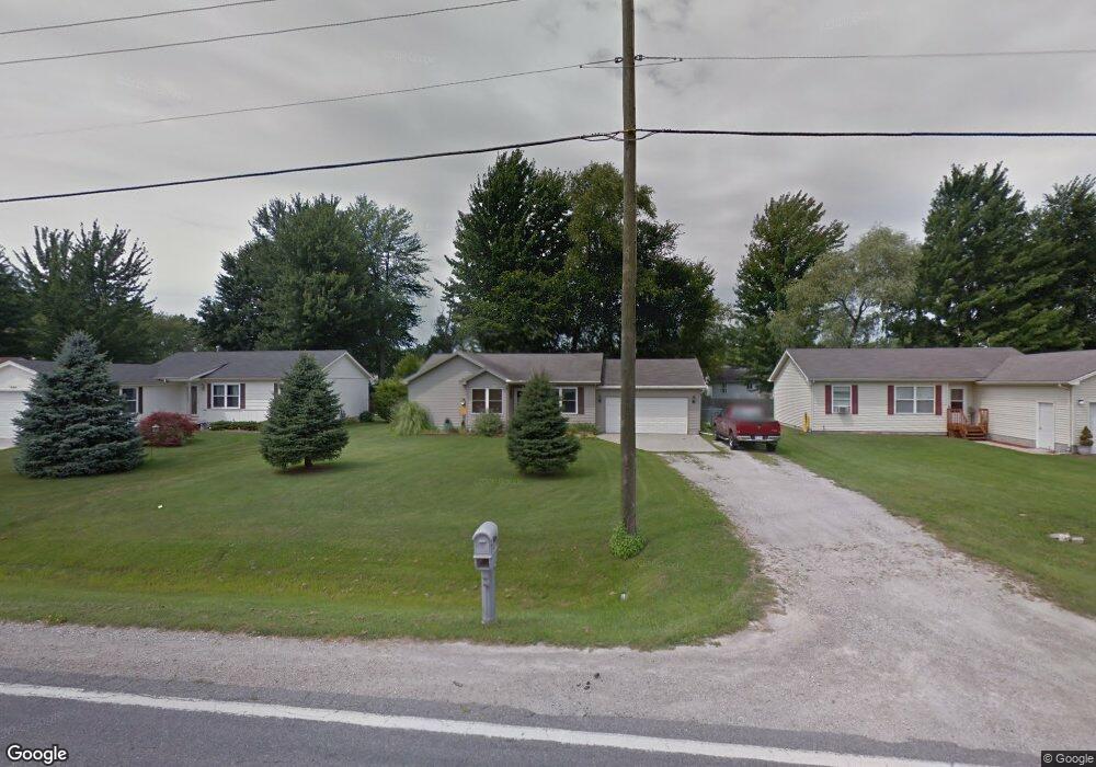
1407 Allen Rd Kimball, MI 48074
Estimated Value: $178,711 - $227,000
3
Beds
2
Baths
1,046
Sq Ft
$190/Sq Ft
Est. Value
About This Home
This home is located at 1407 Allen Rd, Kimball, MI 48074 and is currently estimated at $199,178, approximately $190 per square foot. 1407 Allen Rd is a home located in St. Clair County with nearby schools including Kimball Elementary School, Central Middle School, and Port Huron High School.
Ownership History
Date
Name
Owned For
Owner Type
Purchase Details
Closed on
May 31, 2024
Sold by
Warsinske Jane E
Bought by
Warsinske Jane E and Warsinske Alan L
Current Estimated Value
Home Financials for this Owner
Home Financials are based on the most recent Mortgage that was taken out on this home.
Original Mortgage
$79,500
Outstanding Balance
$78,514
Interest Rate
7.17%
Mortgage Type
New Conventional
Estimated Equity
$120,664
Create a Home Valuation Report for This Property
The Home Valuation Report is an in-depth analysis detailing your home's value as well as a comparison with similar homes in the area
Home Values in the Area
Average Home Value in this Area
Purchase History
| Date | Buyer | Sale Price | Title Company |
|---|---|---|---|
| Warsinske Jane E | -- | None Listed On Document |
Source: Public Records
Mortgage History
| Date | Status | Borrower | Loan Amount |
|---|---|---|---|
| Open | Warsinske Jane E | $79,500 |
Source: Public Records
Tax History Compared to Growth
Tax History
| Year | Tax Paid | Tax Assessment Tax Assessment Total Assessment is a certain percentage of the fair market value that is determined by local assessors to be the total taxable value of land and additions on the property. | Land | Improvement |
|---|---|---|---|---|
| 2025 | $958 | $73,000 | $0 | $0 |
| 2024 | $513 | $67,900 | $0 | $0 |
| 2023 | $470 | $66,100 | $0 | $0 |
| 2022 | $865 | $59,800 | $0 | $0 |
| 2021 | $767 | $52,500 | $0 | $0 |
| 2020 | $767 | $52,900 | $52,900 | $0 |
| 2019 | $756 | $48,600 | $0 | $0 |
| 2018 | $742 | $43,300 | $0 | $0 |
| 2016 | $370 | $39,100 | $0 | $0 |
| 2015 | -- | $36,800 | $36,800 | $0 |
| 2014 | -- | $26,000 | $26,000 | $0 |
| 2013 | -- | $40,300 | $0 | $0 |
Source: Public Records
Map
Nearby Homes
- 1604 Allen Rd
- 1701 Allen Rd
- 1091 Allen Rd
- V/L Allen
- 00 Range Rd
- 0 Ravenswood Rd Unit 20251017048
- 0000 Ravenswood Rd
- 4632 Cloverdale Ln
- 1979 Allen Rd
- 1405 Range Rd
- 4595 Griswold Rd
- 183 Nevada Ave
- 5510 Griswold Rd
- 174 Meadow Ln
- 1876 Morningstar Ave
- 153 Meadow Ln
- 00 Howard Rd
- 104 Oldbrook Ln
- 0000 Range Rd
- 0000 Wisconsin Ave
- 1419 Allen Rd
- 1393 Allen Rd
- 1414 Bellewood Dr
- 1429 Allen Rd
- 1422 Bellewood Dr
- 1389 Allen Rd
- 1400 Bellewood Dr
- 1432 Bellewood Dr
- 1390 Bellewood Dr
- 5033 Birchwood Ln
- 1383 Allen Rd
- 1430 Allen Rd
- 1438 Bellewood Dr
- 1400 Allen Rd
- 1371 Allen Rd
- 1380 Bellewood Dr
- 1396 Allen Rd
- 1405 Bellewood Dr
- 1417 Bellewood Dr
- 1395 Bellewood Dr