1407 Cooneymus Rd Block Island, RI 02807
Estimated Value: $1,872,063 - $2,839,000
5
Beds
4
Baths
1,670
Sq Ft
$1,418/Sq Ft
Est. Value
About This Home
This home is located at 1407 Cooneymus Rd, Block Island, RI 02807 and is currently estimated at $2,368,766, approximately $1,418 per square foot. 1407 Cooneymus Rd is a home with nearby schools including Block Island School.
Ownership History
Date
Name
Owned For
Owner Type
Purchase Details
Closed on
Feb 14, 1997
Sold by
Richard Wood Sandra and Richard Iboyan
Bought by
Albutson Thomas and Albutson Katherine S
Current Estimated Value
Home Financials for this Owner
Home Financials are based on the most recent Mortgage that was taken out on this home.
Original Mortgage
$356,000
Outstanding Balance
$40,391
Interest Rate
7.6%
Estimated Equity
$2,328,375
Create a Home Valuation Report for This Property
The Home Valuation Report is an in-depth analysis detailing your home's value as well as a comparison with similar homes in the area
Home Values in the Area
Average Home Value in this Area
Purchase History
| Date | Buyer | Sale Price | Title Company |
|---|---|---|---|
| Albutson Thomas | $445,000 | -- |
Source: Public Records
Mortgage History
| Date | Status | Borrower | Loan Amount |
|---|---|---|---|
| Open | Albutson Thomas | $356,000 |
Source: Public Records
Tax History Compared to Growth
Tax History
| Year | Tax Paid | Tax Assessment Tax Assessment Total Assessment is a certain percentage of the fair market value that is determined by local assessors to be the total taxable value of land and additions on the property. | Land | Improvement |
|---|---|---|---|---|
| 2024 | $8,668 | $1,570,300 | $1,125,500 | $444,800 |
| 2023 | $9,453 | $1,570,300 | $1,125,500 | $444,800 |
| 2022 | $8,706 | $1,229,600 | $998,080 | $231,520 |
| 2021 | $8,238 | $1,229,600 | $998,080 | $231,520 |
| 2020 | $7,820 | $1,229,600 | $998,080 | $231,520 |
| 2019 | $7,574 | $1,229,600 | $998,080 | $231,520 |
| 2018 | $7,416 | $1,246,400 | $998,080 | $248,320 |
| 2017 | $7,304 | $1,246,400 | $998,080 | $248,320 |
| 2016 | $7,129 | $1,246,400 | $998,080 | $248,320 |
| 2015 | $8,651 | $1,570,100 | $1,247,600 | $322,500 |
| 2014 | $8,384 | $1,570,100 | $1,247,600 | $322,500 |
| 2013 | $8,180 | $1,570,100 | $1,247,600 | $322,500 |
Source: Public Records
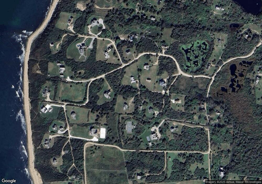
Map
Nearby Homes
- 1328 Cooneymus Rd
- 1596 W Side Rd
- 1557 W Side Rd
- 1501 Beacon Hill Rd
- 1210 Graces Cove Rd
- 1087 Lakeside Dr
- 0 Snake Hole Rd
- 1448 Mohegan Trail
- 0 Coast Guard Rd
- 1661 Sand Pond Rd
- 1035 Mohegan Trail
- 0 Mohegan Trail
- 804 Mohegan Trail
- 481 Old Town Rd
- 194 Pilot Hill Rd
- 0 Pilot Hill Rd
- 1289 High St
- 256 High St
- 0 Spring St
- 0 Southeast Rd Unit 1381406
- 1418 Off Cooneymus Rd
- 1427 Cooneymus Rd
- 1405 Cooneymus Rd
- 1435 Cooneymus Rd
- 1402 Cooneymus Rd
- 1428 Cooneymus Rd
- 1412 Cooneymus Rd
- 1417 Cooneymus Rd
- 1432 Southwest Point
- 1432 Cooneymus Rd
- 1401 Cooneymus Rd
- 1400 Cooneymus Rd
- 1404 Cooneymus Rd
- 1425 Cooneymus Rd
- 1436 Southwest Point
- 1445 Cooneymus Rd
- 1431 Cooneymus Rd
- 1437 Cooneymus Rd
- 989 Cooneymus Rd
- 1056 Cooneymus Rd