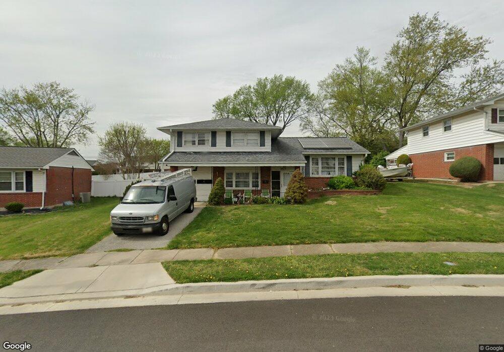
1407 Mt Airy Rd Rosedale, MD 21237
Estimated Value: $345,987 - $376,000
3
Beds
2
Baths
1,898
Sq Ft
$189/Sq Ft
Est. Value
About This Home
This home is located at 1407 Mt Airy Rd, Rosedale, MD 21237 and is currently estimated at $359,497, approximately $189 per square foot. 1407 Mt Airy Rd is a home located in Baltimore County with nearby schools including Red House Run Elementary School, Golden Ring Middle School, and Overlea High School.
Ownership History
Date
Name
Owned For
Owner Type
Purchase Details
Closed on
Dec 5, 2011
Sold by
Poliszuk John and Ustaszewski Debra
Bought by
Manyara George M and Mukui Rebecca W
Current Estimated Value
Home Financials for this Owner
Home Financials are based on the most recent Mortgage that was taken out on this home.
Original Mortgage
$193,955
Outstanding Balance
$132,678
Interest Rate
4.01%
Mortgage Type
FHA
Estimated Equity
$226,819
Purchase Details
Closed on
Nov 15, 2006
Sold by
Poliszuk John
Bought by
Poliszuk John and Ustaszewski Debra
Purchase Details
Closed on
Sep 21, 2006
Sold by
Poliszuk John
Bought by
Poliszuk John and Ustaszewski Debra
Purchase Details
Closed on
Feb 9, 2006
Sold by
Poliszuk W A F
Bought by
Poliszuk John
Purchase Details
Closed on
Jan 10, 2006
Sold by
Poliszuk W A F
Bought by
Poliszuk John
Create a Home Valuation Report for This Property
The Home Valuation Report is an in-depth analysis detailing your home's value as well as a comparison with similar homes in the area
Home Values in the Area
Average Home Value in this Area
Purchase History
| Date | Buyer | Sale Price | Title Company |
|---|---|---|---|
| Manyara George M | $199,000 | First Amer Title Ins Co Md | |
| Poliszuk John | -- | -- | |
| Poliszuk John | -- | -- | |
| Poliszuk John | $275,000 | -- | |
| Poliszuk John | $275,000 | -- |
Source: Public Records
Mortgage History
| Date | Status | Borrower | Loan Amount |
|---|---|---|---|
| Open | Manyara George M | $193,955 |
Source: Public Records
Tax History Compared to Growth
Tax History
| Year | Tax Paid | Tax Assessment Tax Assessment Total Assessment is a certain percentage of the fair market value that is determined by local assessors to be the total taxable value of land and additions on the property. | Land | Improvement |
|---|---|---|---|---|
| 2025 | $4,210 | $280,600 | -- | -- |
| 2024 | $4,210 | $261,100 | $0 | $0 |
| 2023 | $2,754 | $241,600 | $79,700 | $161,900 |
| 2022 | $4,312 | $232,467 | $0 | $0 |
| 2021 | $3,758 | $223,333 | $0 | $0 |
| 2020 | $3,758 | $214,200 | $79,700 | $134,500 |
| 2019 | $3,512 | $206,367 | $0 | $0 |
| 2018 | $3,240 | $198,533 | $0 | $0 |
| 2017 | $3,145 | $190,700 | $0 | $0 |
| 2016 | $2,680 | $181,133 | $0 | $0 |
| 2015 | $2,680 | $171,567 | $0 | $0 |
| 2014 | $2,680 | $162,000 | $0 | $0 |
Source: Public Records
Map
Nearby Homes
- 8416 Allison Ln
- 1321 Rustic Ave
- 6516 Golden Ring Rd
- 1814 Weyburn Rd
- 1813 Hanford Rd
- 1817 Hanford Rd
- 6301 Fieldvale Rd
- 1245 Landover Rd
- 1741 Ellinwood Rd
- 1206 Gettig Rd
- 8220 Analee Ave
- 8316 Analee Ave
- 8204 Analee Ave
- 8300 Berkwood Ct
- 6204 Scranton Rd
- 1329 Pine Grove Ave
- 8105 Woodhaven Rd
- 6720 Garvey Rd
- 8029 Neighbors Ave
- 2021 Wintergreen Place
- 1407 Mount Airy Rd
- 1405 Mount Airy Rd
- 1409 Mount Airy Rd
- 8402 Mount Airy Ct
- 8423 Coco Rd
- 8425 Coco Rd
- 1411 Mount Airy Rd
- 8421 Coco Rd
- 1406 Mount Airy Rd
- 8427 Coco Rd
- 1404 Mount Airy Rd
- 1404 Mt Airy Rd
- 8404 Mount Airy Ct
- 8419 Coco Rd
- 1413 Mount Airy Rd
- 1403 Mount Airy Rd
- 1408 Mount Airy Rd
- 8417 Coco Rd
- 1402 Mount Airy Rd
- 8403 Mount Airy Ct