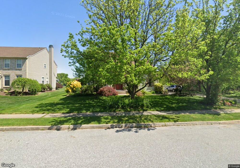
1407 Weatherly Ct West Deptford, NJ 08086
West Deptford Township NeighborhoodEstimated Value: $516,000 - $578,000
4
Beds
3
Baths
2,308
Sq Ft
$238/Sq Ft
Est. Value
About This Home
This home is located at 1407 Weatherly Ct, West Deptford, NJ 08086 and is currently estimated at $548,672, approximately $237 per square foot. 1407 Weatherly Ct is a home located in Gloucester County with nearby schools including Green-Fields Elementary School, Red Bank Elementary School, and Oakview Elementary School.
Ownership History
Date
Name
Owned For
Owner Type
Purchase Details
Closed on
Sep 10, 2008
Sold by
Palese William M and Palese Kathleen
Bought by
Martello Christopher and Martello Toni Ann
Current Estimated Value
Home Financials for this Owner
Home Financials are based on the most recent Mortgage that was taken out on this home.
Original Mortgage
$314,000
Outstanding Balance
$191,670
Interest Rate
4.87%
Mortgage Type
Purchase Money Mortgage
Estimated Equity
$357,002
Purchase Details
Closed on
May 31, 1994
Sold by
Scarborough Corp
Bought by
Palese William M and Palese Kathleen
Home Financials for this Owner
Home Financials are based on the most recent Mortgage that was taken out on this home.
Original Mortgage
$50,000
Interest Rate
8.49%
Create a Home Valuation Report for This Property
The Home Valuation Report is an in-depth analysis detailing your home's value as well as a comparison with similar homes in the area
Home Values in the Area
Average Home Value in this Area
Purchase History
| Date | Buyer | Sale Price | Title Company |
|---|---|---|---|
| Martello Christopher | $392,500 | None Available | |
| Palese William M | $222,000 | -- |
Source: Public Records
Mortgage History
| Date | Status | Borrower | Loan Amount |
|---|---|---|---|
| Open | Martello Christopher | $314,000 | |
| Previous Owner | Palese William M | $50,000 |
Source: Public Records
Tax History Compared to Growth
Tax History
| Year | Tax Paid | Tax Assessment Tax Assessment Total Assessment is a certain percentage of the fair market value that is determined by local assessors to be the total taxable value of land and additions on the property. | Land | Improvement |
|---|---|---|---|---|
| 2025 | $10,141 | $290,400 | $68,300 | $222,100 |
| 2024 | $10,010 | $290,400 | $68,300 | $222,100 |
| 2023 | $10,010 | $290,400 | $68,300 | $222,100 |
| 2022 | $9,964 | $290,400 | $68,300 | $222,100 |
| 2021 | $9,929 | $290,400 | $68,300 | $222,100 |
| 2020 | $9,906 | $290,400 | $68,300 | $222,100 |
| 2019 | $9,630 | $290,400 | $68,300 | $222,100 |
| 2018 | $9,368 | $290,400 | $68,300 | $222,100 |
| 2017 | $9,151 | $290,400 | $68,300 | $222,100 |
| 2016 | $8,895 | $290,400 | $68,300 | $222,100 |
| 2015 | $8,474 | $290,400 | $68,300 | $222,100 |
| 2014 | $8,053 | $290,400 | $68,300 | $222,100 |
Source: Public Records
Map
Nearby Homes
- 740 Carter Hill Dr
- 1810 Fernwood Dr
- 1311 Barnesdale Rd
- 64 Tilden Rd
- 4 Saint Emilion Ct
- 1102 Barnesdale Rd
- 863 Doncaster Dr
- 433 Crown Point Rd
- 640 Worcester Dr
- 1220 Royal Ln
- 97 Church St
- 439 Crown Point Rd
- 87 Woodway Dr Unit 87
- 121 Cape May Ave
- 10 Kennedy Ct
- 266 Passaic Ave
- 558 Prince St
- 247 Crown Point Rd
- 67 Pelican Place
- 107 Audubon Ave
- 1405 Weatherly Ct
- 1403 Weatherly Ct
- 1408 Weatherly Ct
- 1406 Weatherly Ct
- 1410 Weatherly Ct
- 1413 Weatherly Ct
- 1401 Weatherly Ct
- 1404 Weatherly Ct
- 1414 Weatherly Ct
- 1412 Weatherly Ct
- 1602 Pennfield Dr
- 1645 Pennfield Dr
- 1643 Pennfield Dr
- 1647 Pennfield Dr
- 1088 Locksley Ct
- 1649 Pennfield Dr
- 1641 Pennfield Dr
- 1058 Ollerton Ct
- 1090 Locksley Ct
- 1060 Ollerton Ct