14075 S Rockwell Ave Edmond, OK 73025
Estimated Value: $150,000 - $512,944
--
Bed
--
Bath
750
Sq Ft
$502/Sq Ft
Est. Value
About This Home
This home is located at 14075 S Rockwell Ave, Edmond, OK 73025 and is currently estimated at $376,486, approximately $501 per square foot. 14075 S Rockwell Ave is a home located in Logan County with nearby schools including Rose Union Elementary School, Deer Creek Intermediate School, and Deer Creek Middle School.
Ownership History
Date
Name
Owned For
Owner Type
Purchase Details
Closed on
Aug 13, 2025
Sold by
Bert D Briscoe Trust and Briscoe Bert D
Bought by
Bc5 Interests Llc
Current Estimated Value
Purchase Details
Closed on
Aug 18, 2017
Sold by
Musick Jacquelyn Anne
Bought by
Golden Pastures Llc
Home Financials for this Owner
Home Financials are based on the most recent Mortgage that was taken out on this home.
Original Mortgage
$225,000
Interest Rate
3.96%
Mortgage Type
Unknown
Create a Home Valuation Report for This Property
The Home Valuation Report is an in-depth analysis detailing your home's value as well as a comparison with similar homes in the area
Home Values in the Area
Average Home Value in this Area
Purchase History
| Date | Buyer | Sale Price | Title Company |
|---|---|---|---|
| Bc5 Interests Llc | -- | None Listed On Document | |
| Bc5 Interests Llc | -- | None Listed On Document | |
| Golden Pastures Llc | $300,000 | The Oklahoma City Abstract & |
Source: Public Records
Mortgage History
| Date | Status | Borrower | Loan Amount |
|---|---|---|---|
| Previous Owner | Golden Pastures Llc | $225,000 |
Source: Public Records
Tax History Compared to Growth
Tax History
| Year | Tax Paid | Tax Assessment Tax Assessment Total Assessment is a certain percentage of the fair market value that is determined by local assessors to be the total taxable value of land and additions on the property. | Land | Improvement |
|---|---|---|---|---|
| 2025 | $911 | $7,937 | $1,626 | $6,311 |
| 2024 | $911 | $7,706 | $1,579 | $6,127 |
| 2023 | $911 | $7,482 | $1,559 | $5,923 |
| 2022 | $777 | $7,264 | $1,532 | $5,732 |
| 2021 | $742 | $7,053 | $1,450 | $5,603 |
| 2020 | $747 | $6,847 | $1,371 | $5,476 |
| 2019 | $765 | $6,920 | $1,371 | $5,549 |
| 2018 | $758 | $6,920 | $1,371 | $5,549 |
| 2017 | $788 | $7,136 | $1,371 | $5,765 |
| 2016 | $783 | $7,146 | $1,371 | $5,775 |
| 2014 | $785 | $7,356 | $1,369 | $5,987 |
| 2013 | $916 | $8,026 | $1,494 | $6,532 |
Source: Public Records
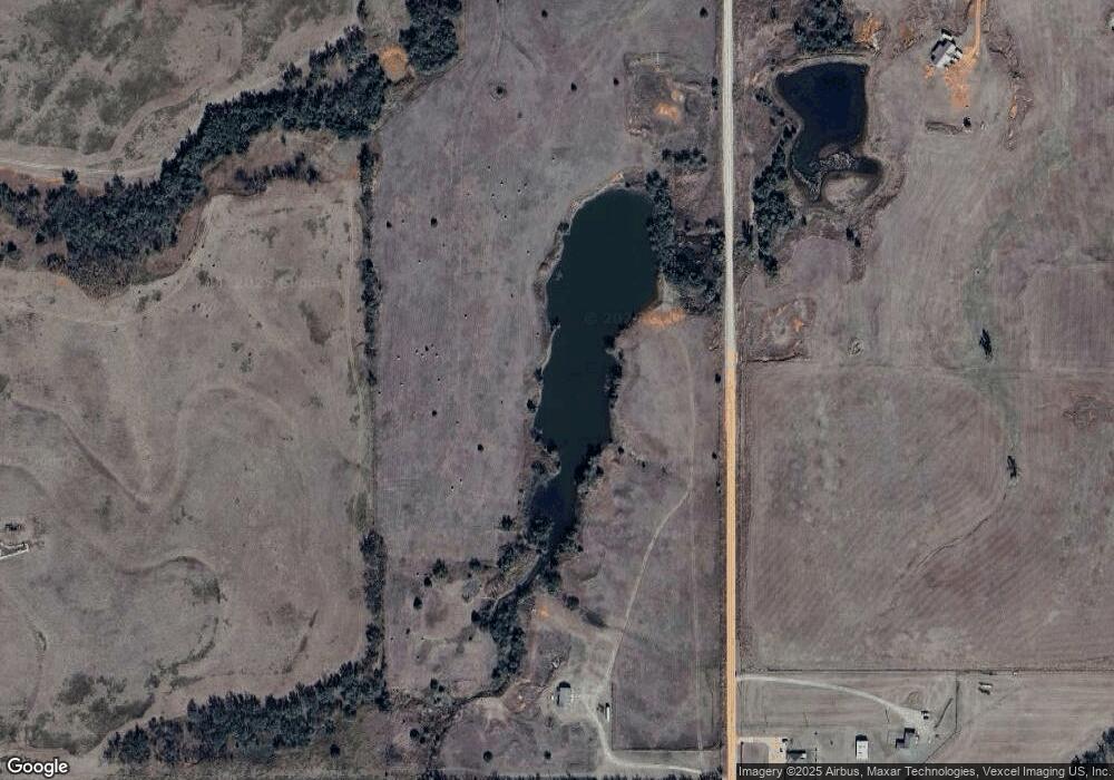
Map
Nearby Homes
- 0 W Simmons & May Ave Unit 1066812
- 13341 S Macarthur Blvd
- 24500 N Council Rd
- 22830 N Rockwell Ave
- 18562 W Simmons Rd
- 23535 N Council Rd
- 23711 N Council Rd
- 23809 N Council Rd
- 24145 N Council Rd
- 23977 N Council Rd
- 6580 NW 234th St
- 160 Acres Council & W Charter Oak Rd
- 0 S County Line Rd
- 14680 W Charter Oak Rd
- 14281 Rushbrook Dr
- 22530 Lindy Terrace
- West Camp Drive S Macarthur Blvd
- 14580 Rushing Ln
- 14401 Rushing Ln
- 13601 Hickory Way