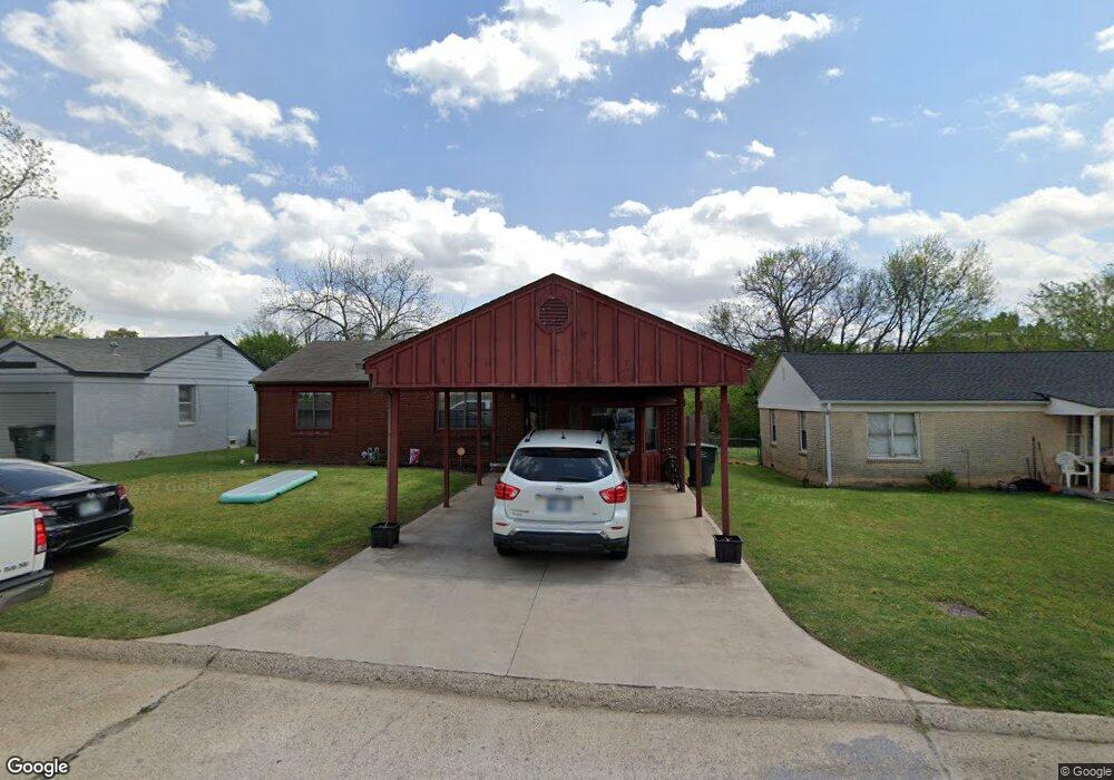
1408 Denson Dr Pauls Valley, OK 73075
Estimated Value: $178,153 - $223,000
3
Beds
2
Baths
1,870
Sq Ft
$108/Sq Ft
Est. Value
About This Home
This home is located at 1408 Denson Dr, Pauls Valley, OK 73075 and is currently estimated at $202,788, approximately $108 per square foot. 1408 Denson Dr is a home located in Garvin County with nearby schools including Pauls Valley Elementary School, Jackson Elementary School, and Pauls Valley Intermediate School.
Ownership History
Date
Name
Owned For
Owner Type
Purchase Details
Closed on
Jan 24, 2014
Sold by
Walker Bobby Gene
Bought by
Potts David and Potts Christine
Current Estimated Value
Home Financials for this Owner
Home Financials are based on the most recent Mortgage that was taken out on this home.
Original Mortgage
$110,204
Outstanding Balance
$83,761
Interest Rate
4.49%
Mortgage Type
New Conventional
Estimated Equity
$119,027
Purchase Details
Closed on
Aug 8, 2008
Sold by
Barnes Karla D
Bought by
Walker Bobby Gene
Home Financials for this Owner
Home Financials are based on the most recent Mortgage that was taken out on this home.
Original Mortgage
$97,000
Interest Rate
6.42%
Mortgage Type
New Conventional
Create a Home Valuation Report for This Property
The Home Valuation Report is an in-depth analysis detailing your home's value as well as a comparison with similar homes in the area
Home Values in the Area
Average Home Value in this Area
Purchase History
| Date | Buyer | Sale Price | Title Company |
|---|---|---|---|
| Potts David | $108,000 | None Available | |
| Walker Bobby Gene | $100,000 | -- |
Source: Public Records
Mortgage History
| Date | Status | Borrower | Loan Amount |
|---|---|---|---|
| Open | Potts David | $110,204 | |
| Previous Owner | Walker Bobby Gene | $97,000 |
Source: Public Records
Tax History Compared to Growth
Tax History
| Year | Tax Paid | Tax Assessment Tax Assessment Total Assessment is a certain percentage of the fair market value that is determined by local assessors to be the total taxable value of land and additions on the property. | Land | Improvement |
|---|---|---|---|---|
| 2024 | $1,195 | $12,041 | $802 | $11,239 |
| 2023 | $1,195 | $11,468 | $802 | $10,666 |
| 2022 | $1,057 | $10,922 | $802 | $10,120 |
| 2021 | $1,127 | $11,250 | $802 | $10,448 |
| 2020 | $1,135 | $11,250 | $802 | $10,448 |
| 2019 | $1,205 | $11,638 | $802 | $10,836 |
| 2018 | $1,182 | $11,685 | $802 | $10,883 |
| 2017 | $989 | $11,473 | $1,188 | $10,285 |
| 2016 | $1,025 | $11,880 | $792 | $11,088 |
| 2015 | $1,041 | $11,880 | $792 | $11,088 |
| 2014 | $1,014 | $11,550 | $792 | $10,758 |
Source: Public Records
Map
Nearby Homes
- 220 Memory Ln
- 14861 Us Highway 77
- 102 Twin Oaks
- 221 Terrace Dr
- 300 Terrace Dr
- 1006 S Chickasaw St
- 425 Mohawk Dr
- 107 Highland Rd
- 1705 S Walnut St
- 107 E Grimmett Dr
- 220 S Edith Ave
- 202 W Lee St
- 311 S Bertha Ave
- 421 S Catherine St
- 405 S Catherine St
- 607 S Paul Ave
- 801 W Leslie St
- 207 S Mcclure Ave
- 410 S Lowe Ave
- 307 Bowling Dr
- 1346 77th Place
- 1412 Denson Dr
- 1404 Denson Dr
- 1416 Denson Dr
- 1400 Denson Dr
- 1424 Denson Dr
- 1413 Denson Dr
- 1409 Denson Dr
- 1417 Denson Dr
- 1338 77th Place
- 1405 Denson Dr
- 1401 Denson Dr
- 1421 Denson Dr
- 1342 77th Place
- 1328 Denson Dr
- 1317 Denson Dr
- 1332 77th Place
- 1324 Hillcrest Rd
- 102 Town Oaks
- 1312 Hillcrest Rd