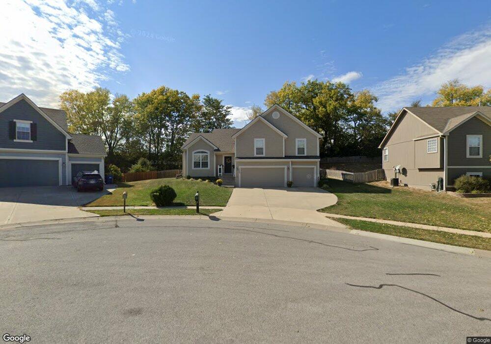
1408 Duncan Dr Liberty, MO 64068
Estimated Value: $402,828 - $502,000
3
Beds
3
Baths
1,853
Sq Ft
$233/Sq Ft
Est. Value
About This Home
This home is located at 1408 Duncan Dr, Liberty, MO 64068 and is currently estimated at $432,207, approximately $233 per square foot. 1408 Duncan Dr is a home located in Clay County with nearby schools including Ridgeview Elementary School, Heritage Middle School, and Liberty North High School.
Ownership History
Date
Name
Owned For
Owner Type
Purchase Details
Closed on
Dec 28, 2022
Sold by
Cathy Rosalind D and Cathy April M
Bought by
April M Adams And Rosalind D Cathy Revocable
Current Estimated Value
Purchase Details
Closed on
Aug 24, 2005
Sold by
Robertson Construction Llc
Bought by
Cathy Rosalind D and Adams April M
Home Financials for this Owner
Home Financials are based on the most recent Mortgage that was taken out on this home.
Original Mortgage
$249,900
Interest Rate
5.78%
Mortgage Type
Fannie Mae Freddie Mac
Create a Home Valuation Report for This Property
The Home Valuation Report is an in-depth analysis detailing your home's value as well as a comparison with similar homes in the area
Home Values in the Area
Average Home Value in this Area
Purchase History
| Date | Buyer | Sale Price | Title Company |
|---|---|---|---|
| April M Adams And Rosalind D Cathy Revocable | -- | -- | |
| Cathy Rosalind D | -- | Thomson Title Corporation |
Source: Public Records
Mortgage History
| Date | Status | Borrower | Loan Amount |
|---|---|---|---|
| Previous Owner | Cathy Rosalind D | $249,900 |
Source: Public Records
Tax History Compared to Growth
Tax History
| Year | Tax Paid | Tax Assessment Tax Assessment Total Assessment is a certain percentage of the fair market value that is determined by local assessors to be the total taxable value of land and additions on the property. | Land | Improvement |
|---|---|---|---|---|
| 2025 | $4,172 | $59,950 | -- | -- |
| 2024 | $4,172 | $54,250 | -- | -- |
| 2023 | $4,243 | $54,250 | $0 | $0 |
| 2022 | $3,704 | $46,760 | $0 | $0 |
| 2021 | $3,675 | $46,759 | $7,220 | $39,539 |
| 2020 | $3,516 | $42,010 | $0 | $0 |
| 2019 | $3,516 | $42,010 | $0 | $0 |
| 2018 | $3,655 | $42,880 | $0 | $0 |
| 2017 | $3,488 | $42,880 | $6,650 | $36,230 |
| 2016 | $3,488 | $41,310 | $6,650 | $34,660 |
| 2015 | $3,489 | $41,310 | $6,650 | $34,660 |
| 2014 | $3,385 | $39,770 | $6,650 | $33,120 |
Source: Public Records
Map
Nearby Homes
- 1300 Bell Cir
- 1408 Telford Dr
- 627 N Gallatin St
- 1580 Ridgeway Dr
- 606 N Morse Ave
- 0 Rush Creek Pkwy
- 539 N Lightburne St
- 907 N Forest Ln
- 402 Doniphan St
- 408 Doniphan St
- 864 Reese St
- 1014 N Forest Ln
- 1541 N Withers Rd
- 409 N Morse Ave
- 1106 Nashua Rd
- 0 N Water St
- 412 N Fairview Ave
- 307 N Gallatin St
- 509 N Ridge Ave
- 1207 Linden Rd