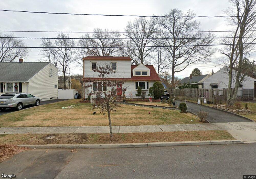
1408 Linbarger Ave Unit 10 Plainfield, NJ 07062
Estimated Value: $474,334 - $611,000
--
Bed
--
Bath
1,375
Sq Ft
$379/Sq Ft
Est. Value
About This Home
This home is located at 1408 Linbarger Ave Unit 10, Plainfield, NJ 07062 and is currently estimated at $521,084, approximately $378 per square foot. 1408 Linbarger Ave Unit 10 is a home located in Union County with nearby schools including Frederic W. Cook School, Emerson Community School, and Maxson Middle School.
Ownership History
Date
Name
Owned For
Owner Type
Purchase Details
Closed on
Dec 12, 2014
Sold by
Douglas Errol Samuel
Bought by
Douglas Errol Samuel and Morgan Douglas Marlene Antoinette
Current Estimated Value
Create a Home Valuation Report for This Property
The Home Valuation Report is an in-depth analysis detailing your home's value as well as a comparison with similar homes in the area
Home Values in the Area
Average Home Value in this Area
Purchase History
| Date | Buyer | Sale Price | Title Company |
|---|---|---|---|
| Douglas Errol Samuel | -- | Chicago Title Insurance Co |
Source: Public Records
Tax History Compared to Growth
Tax History
| Year | Tax Paid | Tax Assessment Tax Assessment Total Assessment is a certain percentage of the fair market value that is determined by local assessors to be the total taxable value of land and additions on the property. | Land | Improvement |
|---|---|---|---|---|
| 2025 | $10,059 | $115,200 | $49,800 | $65,400 |
| 2024 | $9,960 | $115,200 | $49,800 | $65,400 |
| 2023 | $9,960 | $115,200 | $49,800 | $65,400 |
| 2022 | $9,745 | $115,200 | $49,800 | $65,400 |
| 2021 | $9,660 | $115,200 | $49,800 | $65,400 |
| 2020 | $9,632 | $115,200 | $49,800 | $65,400 |
| 2019 | $9,632 | $115,200 | $49,800 | $65,400 |
| 2018 | $9,430 | $115,200 | $49,800 | $65,400 |
| 2017 | $9,200 | $115,200 | $49,800 | $65,400 |
| 2016 | $9,012 | $115,200 | $49,800 | $65,400 |
| 2015 | $8,746 | $115,200 | $49,800 | $65,400 |
| 2014 | $8,509 | $115,200 | $49,800 | $65,400 |
Source: Public Records
Map
Nearby Homes
- 848 Adam Cir
- 481 Terrill Rd
- 15 La Grande Ave
- 810 Leland Ave Unit 14
- 939-45 Post Dr
- 842 Berkeley Ave
- 1158 Woodmere Place
- 1138-40 Gresham Rd
- 351 Terrill Rd
- 32 Gere Place
- 1365 Columbia Ave Unit 69
- 1364 George St
- 1415 George St Unit 23
- 1255 Columbia Ave Unit 57
- 31 Stewart Place
- 263 Colonial Place Unit 65
- 1224 Sunnyfield Ln
- 1107-11 North Ave
- 1107 North Ave Unit 11
- 714 Dixie Ln
- 1412-14 Linbarger Ave
- 1412 Linbarger Ave Unit 14
- 1400 Linbarger Ave Unit 6
- 807 Sterling St Unit 13
- 1416 Linbarger Ave Unit 20
- 1407 Shirley St Unit 9
- 1411 Shirley St Unit 13
- 1401 Shirley St Unit 5
- 1409 Linbarger Ave Unit 11
- 737 Sterling St Unit 41
- 1415 Shirley St Unit 19
- 1413 Linbarger Ave Unit 17
- 1422 Linbarger Ave Unit 26
- 1419 Linbarger Ave Unit 23
- 733 Sterling St Unit 35
- 1421 Shirley St Unit 25
- 800 Sterling St Unit 2
- 804 Sterling St Unit 6
- 808 Sterling St Unit 10
- 742 Sterling St Unit 48