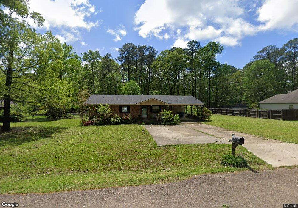
1408 Line Dr SMacKover, AR 71762
Estimated Value: $126,000 - $210,000
Studio
--
Bath
1,872
Sq Ft
$90/Sq Ft
Est. Value
About This Home
This home is located at 1408 Line Dr, SMacKover, AR 71762 and is currently estimated at $169,301, approximately $90 per square foot. 1408 Line Dr is a home located in Union County with nearby schools including Smackover Elementary School, Norphlet Middle School, and Smackover High School.
Ownership History
Date
Name
Owned For
Owner Type
Purchase Details
Closed on
Sep 10, 2024
Sold by
Alabama Housing Finance Authority
Bought by
Harrison Don Edward and Harrison Amanda Gayle
Current Estimated Value
Home Financials for this Owner
Home Financials are based on the most recent Mortgage that was taken out on this home.
Original Mortgage
$121,600
Outstanding Balance
$120,074
Interest Rate
6.73%
Mortgage Type
New Conventional
Estimated Equity
$49,227
Purchase Details
Closed on
Jun 25, 2024
Sold by
Price Renee and Burns Bobby
Bought by
Alabama Housing Fin Authority
Purchase Details
Closed on
Apr 15, 1996
Bought by
Neal, Shirley Ann 96 Tr and 1406 Line Ave
Purchase Details
Closed on
Jan 1, 1996
Bought by
Neal, Shirley Ann 96 Tr
Create a Home Valuation Report for This Property
The Home Valuation Report is an in-depth analysis detailing your home's value as well as a comparison with similar homes in the area
Purchase History
| Date | Buyer | Sale Price | Title Company |
|---|---|---|---|
| Harrison Don Edward | $128,000 | None Listed On Document | |
| Alabama Housing Fin Authority | $128,020 | None Listed On Document | |
| Neal, Shirley Ann 96 Tr | -- | -- | |
| Neal, Shirley Ann 96 Tr | -- | -- |
Source: Public Records
Mortgage History
| Date | Status | Borrower | Loan Amount |
|---|---|---|---|
| Open | Harrison Don Edward | $121,600 |
Source: Public Records
Tax History
| Year | Tax Paid | Tax Assessment Tax Assessment Total Assessment is a certain percentage of the fair market value that is determined by local assessors to be the total taxable value of land and additions on the property. | Land | Improvement |
|---|---|---|---|---|
| 2025 | $929 | $28,370 | $1,800 | $26,570 |
| 2024 | $685 | $28,370 | $1,800 | $26,570 |
| 2023 | $706 | $28,370 | $1,800 | $26,570 |
| 2022 | $702 | $19,990 | $1,800 | $18,190 |
| 2021 | $702 | $19,990 | $1,800 | $18,190 |
| 2020 | $702 | $19,990 | $1,800 | $18,190 |
| 2019 | $722 | $19,990 | $1,800 | $18,190 |
| 2018 | $723 | $19,990 | $1,800 | $18,190 |
| 2017 | $654 | $18,950 | $1,800 | $17,150 |
| 2016 | $654 | $18,950 | $1,800 | $17,150 |
| 2014 | $610 | $18,118 | $1,800 | $16,318 |
Source: Public Records
Map
Nearby Homes
- 1327 Pine Cir
- 0 Poplar
- Lots 2-3 Poplar St
- 172 Lisbon Rd
- 300 W 7th St
- Hwy 160 Unit LotWP001
- 000 Hwy 160
- 544 N Tate Rd
- 2025 O Rear Rd
- Unnamed Rd
- 191 Charlie Vance Rd
- 217 Walter Dr
- 0 Highway 75-20 Unit 24032576
- 740 Agnes Rd
- 526 Meadow Ln
- 208 Mockingbird Ln
- 1.4 Acres Victor Dumas Rd
- 114 Timber Ridge Ln
- 109 Agnes Rd
- 4258 Calion Hwy
Your Personal Tour Guide
Ask me questions while you tour the home.