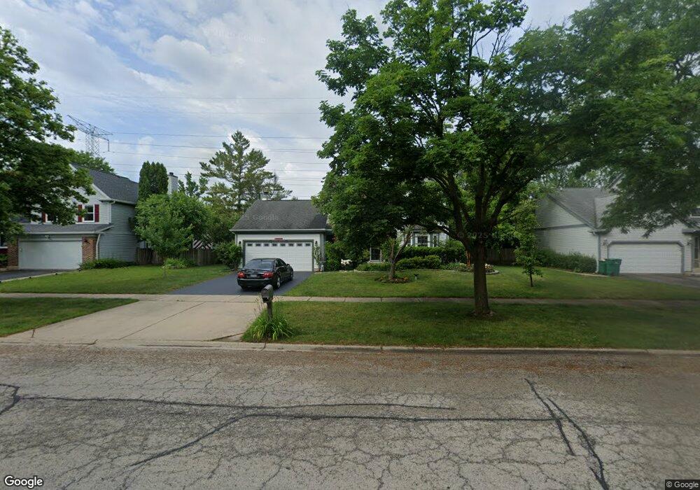
1408 Margate Dr Buffalo Grove, IL 60089
Estimated Value: $562,000 - $605,000
3
Beds
3
Baths
2,078
Sq Ft
$279/Sq Ft
Est. Value
About This Home
This home is located at 1408 Margate Dr, Buffalo Grove, IL 60089 and is currently estimated at $580,311, approximately $279 per square foot. 1408 Margate Dr is a home located in Lake County with nearby schools including Meridian Middle School, Tripp Elementary School, and Aptakisic Junior High School.
Ownership History
Date
Name
Owned For
Owner Type
Purchase Details
Closed on
May 22, 2008
Sold by
David Gary A and David Robin R
Bought by
Rao Anil S
Current Estimated Value
Home Financials for this Owner
Home Financials are based on the most recent Mortgage that was taken out on this home.
Original Mortgage
$321,600
Outstanding Balance
$204,200
Interest Rate
5.93%
Mortgage Type
Purchase Money Mortgage
Estimated Equity
$376,111
Create a Home Valuation Report for This Property
The Home Valuation Report is an in-depth analysis detailing your home's value as well as a comparison with similar homes in the area
Home Values in the Area
Average Home Value in this Area
Purchase History
| Date | Buyer | Sale Price | Title Company |
|---|---|---|---|
| Rao Anil S | $402,000 | First American Title |
Source: Public Records
Mortgage History
| Date | Status | Borrower | Loan Amount |
|---|---|---|---|
| Open | Rao Anil S | $321,600 |
Source: Public Records
Tax History Compared to Growth
Tax History
| Year | Tax Paid | Tax Assessment Tax Assessment Total Assessment is a certain percentage of the fair market value that is determined by local assessors to be the total taxable value of land and additions on the property. | Land | Improvement |
|---|---|---|---|---|
| 2024 | $13,186 | $149,928 | $30,418 | $119,510 |
| 2023 | $11,559 | $136,028 | $27,598 | $108,430 |
| 2022 | $11,559 | $124,312 | $25,221 | $99,091 |
| 2021 | $11,148 | $122,972 | $24,949 | $98,023 |
| 2020 | $10,931 | $123,391 | $25,034 | $98,357 |
| 2019 | $10,643 | $122,936 | $24,942 | $97,994 |
| 2018 | $12,116 | $138,905 | $27,114 | $111,791 |
| 2017 | $11,958 | $135,663 | $26,481 | $109,182 |
| 2016 | $11,542 | $129,908 | $25,358 | $104,550 |
| 2015 | $11,311 | $121,489 | $23,715 | $97,774 |
| 2014 | $10,133 | $108,292 | $25,470 | $82,822 |
| 2012 | $10,058 | $108,509 | $25,521 | $82,988 |
Source: Public Records
Map
Nearby Homes
- 46 Copperwood Dr
- 276 Stanton Dr
- 15 Thompson Ct
- 16202 W Aptakisic Rd
- 22118 N Prairie Rd
- 1012 Hobson Dr
- 913 Hobson Dr
- 437 Caren Dr
- 1113 Lockwood Dr
- 938 Hidden Lake Dr
- 2033 Olive Hill Dr
- 538 Lasalle Ct
- 268 Hoffmann Dr
- 1118 Larraway Dr
- 2071 Wright Blvd
- 361 Hoffmann Dr
- 720 Dunhill Dr
- 333 Didier Ct
- 670 Dunhill Dr
- 327 Lasalle Ln
- 1406 Margate Dr
- 1410 Margate Dr
- 1404 Margate Dr
- 1412 Margate Dr
- 1409 Margate Dr
- 1407 Margate Dr
- 1402 Margate Dr
- 1414 Margate Dr
- 1405 Margate Dr Unit 7
- 200 Stanton Dr
- 203 Stanton Dr
- 1403 Margate Dr
- 1342 Devonwood Ct
- 1350 Devonwood Ct
- 1404 Village Ct
- 1416 Margate Dr
- 1400 Margate Dr
- 202 Stanton Dr
- 1402 Village Ct
- 1334 Devonwood Ct