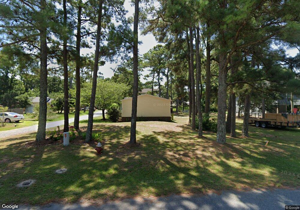
1408 Maxine St Kill Devil Hills, NC 27948
Estimated Value: $490,806 - $529,000
3
Beds
3
Baths
1,528
Sq Ft
$335/Sq Ft
Est. Value
About This Home
This home is located at 1408 Maxine St, Kill Devil Hills, NC 27948 and is currently estimated at $512,202, approximately $335 per square foot. 1408 Maxine St is a home located in Dare County with nearby schools including Nags Head Elementary School, Manteo Middle School, and Manteo High School.
Ownership History
Date
Name
Owned For
Owner Type
Purchase Details
Closed on
Aug 15, 2024
Sold by
Conner Robert A and Conner Carole G
Bought by
Conner Savanna
Current Estimated Value
Purchase Details
Closed on
May 29, 2009
Sold by
Hathaway Michael J and Hathaway Connie
Bought by
Conner Gary
Home Financials for this Owner
Home Financials are based on the most recent Mortgage that was taken out on this home.
Original Mortgage
$198,400
Interest Rate
4.81%
Mortgage Type
Purchase Money Mortgage
Create a Home Valuation Report for This Property
The Home Valuation Report is an in-depth analysis detailing your home's value as well as a comparison with similar homes in the area
Home Values in the Area
Average Home Value in this Area
Purchase History
| Date | Buyer | Sale Price | Title Company |
|---|---|---|---|
| Conner Savanna | $139,000 | None Listed On Document | |
| Conner Gary | $248,000 | None Available |
Source: Public Records
Mortgage History
| Date | Status | Borrower | Loan Amount |
|---|---|---|---|
| Previous Owner | Conner Gary | $198,400 |
Source: Public Records
Tax History
| Year | Tax Paid | Tax Assessment Tax Assessment Total Assessment is a certain percentage of the fair market value that is determined by local assessors to be the total taxable value of land and additions on the property. | Land | Improvement |
|---|---|---|---|---|
| 2025 | $2,467 | $454,200 | $140,700 | $313,500 |
| 2024 | $2,100 | $278,000 | $71,300 | $206,700 |
| 2023 | $2,100 | $278,000 | $71,300 | $206,700 |
| 2022 | $2,003 | $278,000 | $71,300 | $206,700 |
| 2021 | $2,003 | $278,000 | $71,300 | $206,700 |
| 2020 | $2,003 | $278,000 | $71,300 | $206,700 |
| 2019 | $1,766 | $203,000 | $52,000 | $151,000 |
| 2018 | $0 | $203,000 | $52,000 | $151,000 |
| 2017 | $1,727 | $203,000 | $52,000 | $151,000 |
| 2016 | $1,646 | $203,000 | $52,000 | $151,000 |
| 2014 | $1,585 | $203,000 | $52,000 | $151,000 |
Source: Public Records
Map
Nearby Homes
- 1308 Theodore St Unit 5
- 1208 Swan St Unit 4
- 1208 Swan St Unit 2
- 1208 Swan St Unit 5
- 1208 Swan St Unit 1
- 1208 -2 Swan St Unit 2
- 1208 -1 Swan St Unit 1
- 0 10th Ave Unit Lot 2R 130569
- 0 W Martin St
- 311 Gunas Dr Unit 17
- 311 Gunas Dr
- 809 9th Ave Unit 809-B
- 205 W Atlantic St Unit Lot 3
- 0 W Boundary St Unit Lot 1-R 130568
- 302 W Clark St Unit Lot 6
- 1511 Wrightsville Blvd Unit Lot 64
- 209 E Lake Dr Unit Lot18
- 900 Fox St
- 111 Carolyn Dr Unit E
- 704 Swan St Unit 2
- 1408 Maxine St Unit 7
- 1002 W Dean St
- 1000 W Dean St Unit Lot 10
- 1000 W Dean St
- 1004 W Dean St
- 1006 W Dean St Unit 13
- 1006 W Dean St
- 1005 Holly St
- 1409 Maxine St
- 1407 Maxine St
- 1411 Maxine St
- 1001 Holly St
- 1007 Holly St
- 905 Holly St Unit 3
- 905 Holly St
- 1009 Holly St
- 0 Dean St Unit 64480
- 0 Dean St Unit Lot 10 127656
- 903 Holly St Unit 1B
- 903 Holly St
Your Personal Tour Guide
Ask me questions while you tour the home.