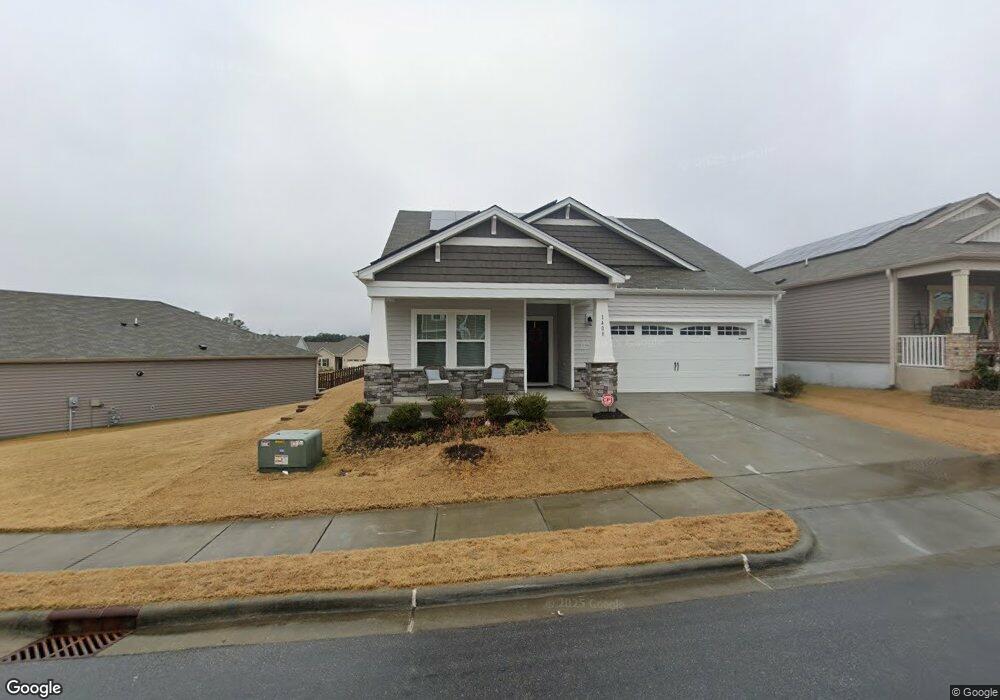
1408 Wrenn Rd Durham, NC 27703
Bethesda NeighborhoodEstimated Value: $512,000 - $545,000
4
Beds
3
Baths
2,379
Sq Ft
$223/Sq Ft
Est. Value
About This Home
This home is located at 1408 Wrenn Rd, Durham, NC 27703 and is currently estimated at $531,551, approximately $223 per square foot. 1408 Wrenn Rd is a home with nearby schools including Bethesda Elementary School, John W Neal Middle School, and Southern School of Energy & Sustainability.
Ownership History
Date
Name
Owned For
Owner Type
Purchase Details
Closed on
Oct 20, 2020
Sold by
Meritage Homes Of The Camlinas Inc
Bought by
Walker Lloyd M and Walker June
Current Estimated Value
Home Financials for this Owner
Home Financials are based on the most recent Mortgage that was taken out on this home.
Original Mortgage
$250,800
Outstanding Balance
$222,667
Interest Rate
2.8%
Mortgage Type
New Conventional
Estimated Equity
$308,884
Purchase Details
Closed on
Jun 8, 2020
Sold by
Ellis Road Residential Lp
Bought by
Meritage Homes Of The Carolinas Inc
Purchase Details
Closed on
Jun 4, 2020
Sold by
Ellis Road Residential Lp
Bought by
Meritage Homes Of The Carolinas Inc
Create a Home Valuation Report for This Property
The Home Valuation Report is an in-depth analysis detailing your home's value as well as a comparison with similar homes in the area
Home Values in the Area
Average Home Value in this Area
Purchase History
| Date | Buyer | Sale Price | Title Company |
|---|---|---|---|
| Walker Lloyd M | $381,000 | None Available | |
| Meritage Homes Of The Carolinas Inc | $588,000 | None Available | |
| Meritage Homes Of The Carolinas Inc | $588,000 | None Available |
Source: Public Records
Mortgage History
| Date | Status | Borrower | Loan Amount |
|---|---|---|---|
| Open | Walker Lloyd M | $250,800 |
Source: Public Records
Tax History Compared to Growth
Tax History
| Year | Tax Paid | Tax Assessment Tax Assessment Total Assessment is a certain percentage of the fair market value that is determined by local assessors to be the total taxable value of land and additions on the property. | Land | Improvement |
|---|---|---|---|---|
| 2025 | $5,567 | $561,632 | $119,130 | $442,502 |
| 2024 | $4,790 | $343,367 | $79,660 | $263,707 |
| 2023 | $4,498 | $343,367 | $79,660 | $263,707 |
| 2022 | $4,395 | $343,367 | $79,660 | $263,707 |
| 2021 | $4,374 | $343,363 | $79,660 | $263,703 |
| 2020 | $991 | $79,660 | $79,660 | $0 |
| 2019 | $991 | $79,660 | $79,660 | $0 |
Source: Public Records
Map
Nearby Homes
- 1012 Freeport Dr
- 1118 Commack Dr
- 3908 Cash Rd
- 1007 Depot Dr
- 29 Edgebrook Cir
- 1610 Stone Rd
- 1508 Stone Rd
- 917 Lippincott Rd
- 11 Suncrest Ct
- 905 Lippincott Rd
- 3857 Angier Ave
- 33 Sharpstone Ln
- 3642 Star Gazing Ln
- 3112 Star Gazing Ln
- 1172 Pate Farm Ln
- 2217 S Miami Blvd
- 3210 Opal Dr
- 3212 Opal Dr
- 3216 Opal Dr
- 3214 Opal Dr