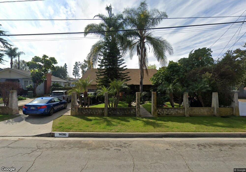
14080 Cornishcrest Rd Whittier, CA 90604
South Whittier NeighborhoodEstimated Value: $878,000 - $1,021,000
2
Beds
2
Baths
1,724
Sq Ft
$549/Sq Ft
Est. Value
About This Home
This home is located at 14080 Cornishcrest Rd, Whittier, CA 90604 and is currently estimated at $946,827, approximately $549 per square foot. 14080 Cornishcrest Rd is a home located in Los Angeles County with nearby schools including Ceres Elementary School, Granada Middle School, and California High School.
Ownership History
Date
Name
Owned For
Owner Type
Purchase Details
Closed on
Sep 7, 2004
Sold by
Castro Benny
Bought by
Castro Benny and Castro Marlene Heckmuller
Current Estimated Value
Home Financials for this Owner
Home Financials are based on the most recent Mortgage that was taken out on this home.
Original Mortgage
$184,000
Interest Rate
5.94%
Mortgage Type
New Conventional
Purchase Details
Closed on
Apr 2, 1998
Sold by
Rankins Paul D
Bought by
Castro Benny and Castro Marlene
Home Financials for this Owner
Home Financials are based on the most recent Mortgage that was taken out on this home.
Original Mortgage
$196,650
Interest Rate
7%
Purchase Details
Closed on
Mar 14, 1996
Sold by
Rankins Paul D
Bought by
Rankins Paul D and Rankins Sally A
Create a Home Valuation Report for This Property
The Home Valuation Report is an in-depth analysis detailing your home's value as well as a comparison with similar homes in the area
Home Values in the Area
Average Home Value in this Area
Purchase History
| Date | Buyer | Sale Price | Title Company |
|---|---|---|---|
| Castro Benny | -- | Chicago Title | |
| Castro Benny | $207,000 | Benefit Title | |
| Rankins Paul D | -- | -- |
Source: Public Records
Mortgage History
| Date | Status | Borrower | Loan Amount |
|---|---|---|---|
| Closed | Castro Benny | $184,000 | |
| Previous Owner | Castro Benny | $196,650 |
Source: Public Records
Tax History
| Year | Tax Paid | Tax Assessment Tax Assessment Total Assessment is a certain percentage of the fair market value that is determined by local assessors to be the total taxable value of land and additions on the property. | Land | Improvement |
|---|---|---|---|---|
| 2025 | $4,450 | $324,491 | $155,191 | $169,300 |
| 2024 | $4,450 | $318,130 | $152,149 | $165,981 |
| 2023 | $4,381 | $311,893 | $149,166 | $162,727 |
| 2022 | $4,294 | $305,779 | $146,242 | $159,537 |
| 2021 | $4,211 | $299,784 | $143,375 | $156,409 |
| 2019 | $4,134 | $290,894 | $139,123 | $151,771 |
| 2018 | $3,739 | $285,192 | $136,396 | $148,796 |
| 2016 | $3,536 | $274,119 | $131,100 | $143,019 |
| 2015 | $3,513 | $270,002 | $129,131 | $140,871 |
| 2014 | $3,476 | $264,714 | $126,602 | $138,112 |
Source: Public Records
Map
Nearby Homes
- 11037 Biella Way
- 10745 Victoria Ave Unit 70
- 10745 Victoria Ave Unit 4
- 14015 Lausanne Ct
- 11129 Bunker Ln
- 10928 Homage Ave
- 13838 Cornishcrest Rd
- 13822 Cornishcrest Rd
- 13751 Bentongrove Dr
- 10912 Newgate Ave
- 14308 Broadway
- 10902 Alclad Ave
- 14255 Broadway
- 14315 Broadway Unit 210
- 10241 Ruoff Ave
- 14030 Dicky St
- 10035 Ben Hur Ave
- 11229 Alclad Ave
- 0 Telegraph Rd Unit DW24244539
- 14548 Hawes St
- 14076 Cornishcrest Rd Unit B
- 14086 Cornishcrest Rd
- 10606 Victoria Ave
- 14092 Cornishcrest Rd
- 10612 Victoria Ave
- 10616 Victoria Ave
- 14077 Cornishcrest Rd
- 10540 Victoria Ave
- 10622 Victoria Ave
- 10632 Victoria Ave
- 14087 Cornishcrest Rd
- 14042 Cornishcrest Rd
- 14110 Cornishcrest Rd
- 10530 Victoria Ave
- 10630 Victoria Ave
- 14093 Cornishcrest Rd
- 10634 Victoria Ave
- 14025 Trumball St
- 14029 Trumball St
- 14019 Trumball St
Your Personal Tour Guide
Ask me questions while you tour the home.