1409 Deerpath Trail Franktown, CO 80116
Estimated Value: $1,093,455 - $1,269,000
6
Beds
4
Baths
5,506
Sq Ft
$217/Sq Ft
Est. Value
About This Home
This home is located at 1409 Deerpath Trail, Franktown, CO 80116 and is currently estimated at $1,197,114, approximately $217 per square foot. 1409 Deerpath Trail is a home located in Douglas County with nearby schools including Franktown Elementary School, Sagewood Middle School, and Ponderosa High School.
Ownership History
Date
Name
Owned For
Owner Type
Purchase Details
Closed on
Jul 12, 2013
Sold by
Ryan Barbara J and Ryan Stephen
Bought by
Stanton Gerald D and Stanton Heather M
Current Estimated Value
Home Financials for this Owner
Home Financials are based on the most recent Mortgage that was taken out on this home.
Original Mortgage
$417,000
Outstanding Balance
$300,187
Interest Rate
3.99%
Mortgage Type
New Conventional
Estimated Equity
$896,927
Purchase Details
Closed on
Nov 3, 2009
Sold by
Ryan Barbara J and See Barbara J
Bought by
Ryan Barbara J and Ryan Stephen
Home Financials for this Owner
Home Financials are based on the most recent Mortgage that was taken out on this home.
Original Mortgage
$348,762
Interest Rate
4.9%
Mortgage Type
New Conventional
Purchase Details
Closed on
Sep 29, 2000
Sold by
Goodyear Sara H and Houston John S
Bought by
See Randolph D and See Barbara J
Home Financials for this Owner
Home Financials are based on the most recent Mortgage that was taken out on this home.
Original Mortgage
$329,000
Interest Rate
7.99%
Purchase Details
Closed on
Feb 18, 2000
Sold by
Goodyear Thomas Andrew
Bought by
Goodyear Sara H
Purchase Details
Closed on
Feb 18, 1999
Sold by
Houston John S
Bought by
Goodyear Sara H and Goodyear Thomas Andrew
Purchase Details
Closed on
Dec 17, 1998
Sold by
Johnson Dean and Madsen Luanne K
Bought by
Goodyear Sara H and Houston John S
Purchase Details
Closed on
Mar 20, 1997
Sold by
Berning Larry A and Berning Denise M
Bought by
Johnson Dean and Madsen Luanne K
Home Financials for this Owner
Home Financials are based on the most recent Mortgage that was taken out on this home.
Original Mortgage
$260,000
Interest Rate
7.5%
Purchase Details
Closed on
Jul 8, 1994
Sold by
Davis Kermit L
Bought by
Berning Larry A and Berning Denise M
Purchase Details
Closed on
Aug 22, 1970
Sold by
Carroll Land Company
Bought by
Davis Kermit L and Davis Ruth A
Create a Home Valuation Report for This Property
The Home Valuation Report is an in-depth analysis detailing your home's value as well as a comparison with similar homes in the area
Purchase History
| Date | Buyer | Sale Price | Title Company |
|---|---|---|---|
| Stanton Gerald D | $574,900 | Guardian Title | |
| Ryan Barbara J | -- | None Available | |
| See Randolph D | $429,000 | Land Title Guarantee Company | |
| Goodyear Sara H | -- | -- | |
| Goodyear Sara H | -- | -- | |
| Goodyear Sara H | $361,000 | Land Title | |
| Johnson Dean | $325,000 | Land Title | |
| Berning Larry A | $45,000 | -- | |
| Davis Kermit L | $6,000 | -- |
Source: Public Records
Mortgage History
| Date | Status | Borrower | Loan Amount |
|---|---|---|---|
| Open | Stanton Gerald D | $417,000 | |
| Previous Owner | Ryan Barbara J | $348,762 | |
| Previous Owner | See Randolph D | $329,000 | |
| Previous Owner | Johnson Dean | $260,000 |
Source: Public Records
Tax History
| Year | Tax Paid | Tax Assessment Tax Assessment Total Assessment is a certain percentage of the fair market value that is determined by local assessors to be the total taxable value of land and additions on the property. | Land | Improvement |
|---|---|---|---|---|
| 2025 | $6,540 | $74,790 | $22,070 | $52,720 |
| 2024 | $6,540 | $79,560 | $28,570 | $50,990 |
| 2023 | $6,613 | $79,560 | $28,570 | $50,990 |
| 2022 | $4,888 | $58,380 | $18,140 | $40,240 |
| 2021 | $5,065 | $58,380 | $18,140 | $40,240 |
| 2020 | $4,709 | $55,540 | $16,330 | $39,210 |
| 2019 | $4,732 | $55,540 | $16,330 | $39,210 |
| 2018 | $4,304 | $49,630 | $12,680 | $36,950 |
| 2017 | $4,007 | $49,630 | $12,680 | $36,950 |
| 2016 | $3,727 | $45,260 | $9,430 | $35,830 |
| 2015 | $3,812 | $45,260 | $9,430 | $35,830 |
| 2014 | $3,198 | $35,490 | $9,150 | $26,340 |
Source: Public Records
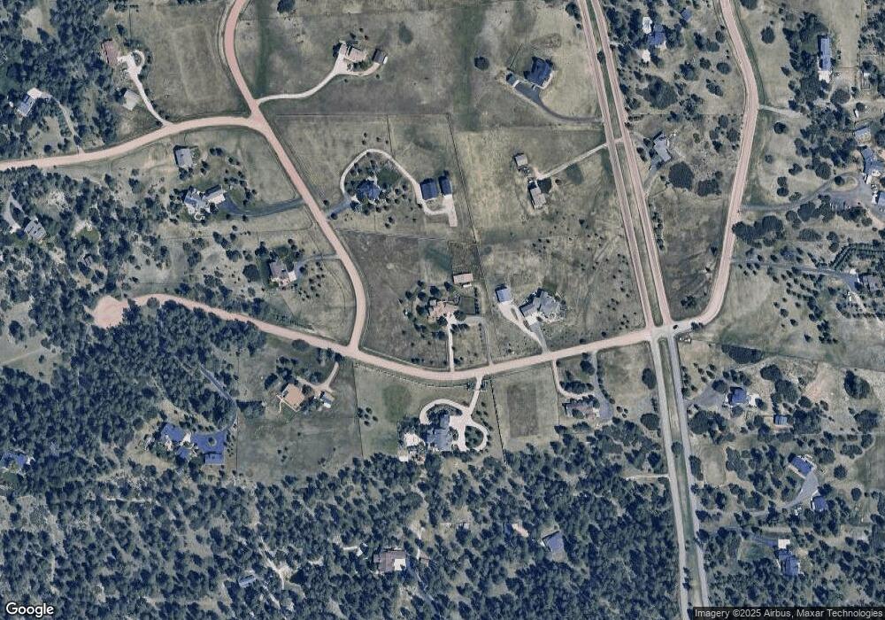
Map
Nearby Homes
- 1579 Deerpath Rd
- 2130 Frontier Ln
- 8788 E Tanglewood Rd
- 2218 Deerpath Rd
- 9162 Warriors Mark Dr
- 11011 Sunset Oaks
- 11008 Sunset Oaks Place
- 11012 Sunset Oaks Place
- 2705 Fox View Trail
- 2741 Morning Run Ct
- 230 S Big Meadow Trail
- 2622 Fox View Trail
- 2937 Hidden Den Ct
- 2568 Fox View Trail
- 2568 Fox View Trail Unit 38
- 9141 Red Primrose St
- 3125 Red Kit Rd
- 11584 E State Highway 86
- 104 Bill Davis Rd
- 8377 Burning Tree Dr
- 1376 Columbine Dr
- 1501 Deerpath Trail
- 1410 Deerpath Trail
- 1289 Columbine Dr
- 1415 Deerpath Rd
- 1486 Deerpath Trail
- 1375 Columbine Dr
- 1442 Columbine Dr
- 1493 Deerpath Rd
- 1205 Deerpath Rd
- 1390 Deerpath Rd
- 1276 Deerpath Trail
- 0 Deerpath Rd
- 1290 Deerpath Rd
- 10259 E State Highway 86
- 1494 Deeepath Rd
- 1536 Columbine Dr
- 1494 Deerpath Rd
- 1435 Ward Cir
- 1461 Columbine Dr