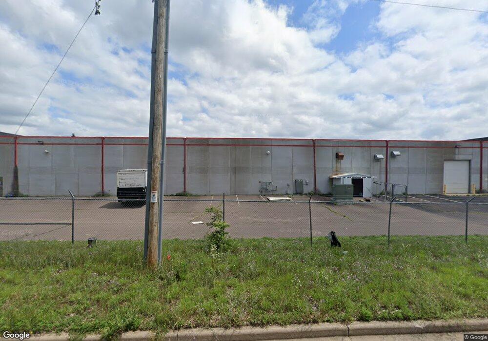
1409 N River St Spooner, WI 54801
Estimated Value: $1,406,613
--
Bed
--
Bath
27,300
Sq Ft
$52/Sq Ft
Est. Value
About This Home
This home is located at 1409 N River St, Spooner, WI 54801 and is currently estimated at $1,406,613, approximately $51 per square foot. 1409 N River St is a home located in Washburn County with nearby schools including Spooner Elementary School, Spooner Middle School, and Spooner High School.
Ownership History
Date
Name
Owned For
Owner Type
Purchase Details
Closed on
Jul 27, 2022
Sold by
The Stanley M Davis Revocable Trust Dat
Bought by
Preferred Structures Llc A Texas Limite
Current Estimated Value
Purchase Details
Closed on
May 5, 2022
Sold by
Kb Special Enterprises Llc
Bought by
The Stanley M Davis Revocable Trust Dat
Purchase Details
Closed on
Aug 3, 2021
Sold by
Davis Stanley M
Bought by
Kb Special Enterprises Llc
Purchase Details
Closed on
May 10, 2016
Sold by
Davis Stanley M
Bought by
Stanley M Davis Revocable Trust Dated Februar
Purchase Details
Closed on
Jun 1, 2011
Sold by
Wenner Sarah R
Bought by
Davis Stanley M and Davis Adrienne
Purchase Details
Closed on
Oct 5, 2007
Sold by
Burns Donna L
Bought by
Davis Stanley M
Create a Home Valuation Report for This Property
The Home Valuation Report is an in-depth analysis detailing your home's value as well as a comparison with similar homes in the area
Home Values in the Area
Average Home Value in this Area
Purchase History
| Date | Buyer | Sale Price | Title Company |
|---|---|---|---|
| Preferred Structures Llc A Texas Limite | $1,125,000 | T.M. Title Services, Inc. | |
| The Stanley M Davis Revocable Trust Dat | $900,000 | Ryan M. Benson, Benson Law Off | |
| Kb Special Enterprises Llc | $900,000 | -- | |
| Stanley M Davis Revocable Trust Dated Februar | $1,051 | -- | |
| Davis Stanley M | -- | -- | |
| Wenner Sarah R | -- | -- | |
| Davis Stanley M | $1,100,000 | -- |
Source: Public Records
Tax History Compared to Growth
Tax History
| Year | Tax Paid | Tax Assessment Tax Assessment Total Assessment is a certain percentage of the fair market value that is determined by local assessors to be the total taxable value of land and additions on the property. | Land | Improvement |
|---|---|---|---|---|
| 2023 | $22,949 | $907,700 | $62,900 | $844,800 |
| 2022 | $28,518 | $1,180,200 | $62,900 | $1,117,300 |
| 2021 | $28,422 | $1,180,200 | $62,900 | $1,117,300 |
| 2020 | $26,228 | $1,084,400 | $62,900 | $1,021,500 |
| 2019 | $25,772 | $1,105,500 | $64,100 | $1,041,400 |
| 2018 | $25,761 | $1,136,000 | $65,900 | $1,070,100 |
| 2017 | $26,266 | $1,174,200 | $68,100 | $1,106,100 |
| 2016 | $24,227 | $1,088,300 | $35,700 | $1,052,600 |
| 2015 | $24,284 | $1,141,700 | $37,400 | $1,104,300 |
| 2014 | $24,486 | $1,174,400 | $38,500 | $1,135,900 |
| 2012 | $23,593 | $1,128,100 | $37,000 | $1,091,100 |
Source: Public Records
Map
Nearby Homes
- 409 Poplar St
- xxx Trails End
- 222 Spruce St
- 0 Northland Dr
- 607 College St
- 924 Superior St
- 106 S Summit St
- 0 U S 53
- Lot 2 Grant St
- 0 Hwy 70 Unit 1594695
- 5810 Bear Path Ln
- 7395 Miller Rd
- XXX Dur A Bilt Rd
- Lot 1 Lois Lane S Lois Ln SW
- XXX Pine Dr
- N5603 Tower Hill Rd
- 00 Cable Car Ln
- W6198 Little Valley Rd
- N4821 Tozer Lake Rd
- XX Hill Rd
- 1250 N River St
- 1409 N River St
- 1413 N Front St
- 1357 River St
- 1223 N Summit St
- N5510 Hwy 63
- 1219 21 N Summit St
- 1219 N Summit St
- 1225 N Summit St
- 1235 N Summit St
- 1219 N Summit St
- 1301 N High St
- 1305 N High St
- 1313 N High St
- 1308 N High St
- 1302 N High St
- 1239 N Summit St
- 1216 N High St Unit 1 & 2
- 1216 N High St
- 213 Poplar St