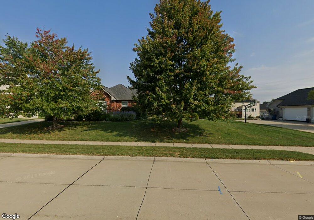
1409 Olroyd Dr Swansea, IL 62226
Estimated Value: $480,000 - $546,000
--
Bed
--
Bath
2,379
Sq Ft
$222/Sq Ft
Est. Value
About This Home
This home is located at 1409 Olroyd Dr, Swansea, IL 62226 and is currently estimated at $528,110, approximately $221 per square foot. 1409 Olroyd Dr is a home located in St. Clair County with nearby schools including Wolf Branch Elementary School, Wolf Branch Middle School, and St Teresa Catholic School.
Ownership History
Date
Name
Owned For
Owner Type
Purchase Details
Closed on
Mar 24, 2010
Sold by
Fulford Construction Inc
Bought by
Mayo Leon and Mayo Nancy
Current Estimated Value
Home Financials for this Owner
Home Financials are based on the most recent Mortgage that was taken out on this home.
Original Mortgage
$328,250
Outstanding Balance
$217,775
Interest Rate
5%
Mortgage Type
New Conventional
Estimated Equity
$310,335
Purchase Details
Closed on
Jan 14, 2009
Sold by
Woodfield Development Llc
Bought by
Fulford Construction Inc
Create a Home Valuation Report for This Property
The Home Valuation Report is an in-depth analysis detailing your home's value as well as a comparison with similar homes in the area
Home Values in the Area
Average Home Value in this Area
Purchase History
| Date | Buyer | Sale Price | Title Company |
|---|---|---|---|
| Mayo Leon | $365,000 | Ctic | |
| Fulford Construction Inc | -- | None Available |
Source: Public Records
Mortgage History
| Date | Status | Borrower | Loan Amount |
|---|---|---|---|
| Open | Mayo Leon | $328,250 |
Source: Public Records
Tax History Compared to Growth
Tax History
| Year | Tax Paid | Tax Assessment Tax Assessment Total Assessment is a certain percentage of the fair market value that is determined by local assessors to be the total taxable value of land and additions on the property. | Land | Improvement |
|---|---|---|---|---|
| 2024 | $11,104 | $149,144 | $24,134 | $125,010 |
| 2023 | $10,582 | $141,407 | $23,800 | $117,607 |
| 2022 | $9,837 | $128,786 | $21,676 | $107,110 |
| 2021 | $9,582 | $123,500 | $20,786 | $102,714 |
| 2020 | $9,291 | $115,014 | $19,358 | $95,656 |
| 2019 | $9,095 | $115,801 | $19,755 | $96,046 |
| 2018 | $8,845 | $112,845 | $19,251 | $93,594 |
| 2017 | $8,600 | $109,841 | $18,738 | $91,103 |
| 2016 | $8,534 | $106,055 | $18,092 | $87,963 |
| 2014 | $7,662 | $107,571 | $18,112 | $89,459 |
| 2013 | $4,991 | $107,571 | $18,112 | $89,459 |
Source: Public Records
Map
Nearby Homes
- 1518 William Ln
- 14 Timber Waters Ct
- 4092 Redcastle Place
- 0 Smelting Works Rd
- 2 Mercury Dr
- 117 Timber Dr
- 34 Twilight Dr
- 9 Lake Christine Dr
- 104 Britanna Dr
- 212 Castellano Dr
- 1513 Pasteur Ln
- 4167 Addiston Dr
- 4171 Addiston Dr
- 110 Fullerton Rd
- 3837 N Illinois St
- 1519 Lebanon Ave
- 1419 Lebanon Ave
- 517 E Waters Edge Dr
- 525 Big Bend Blvd
- 307 Shannon Ln
- 1405 Olroyd Dr
- 3309 Gadwall Ct
- 1413 Olroyd Dr
- 3426 Whistling Cove
- 3308 Gadwall Ct
- 3422 Whistling Cove
- 3316 Whistling Cove
- 3402 Whistling Cove
- 3430 Whistling Cove
- 1417 Olroyd Dr
- 3305 Gadwall Ct
- 3418 Whistling Cove
- 3304 Gadwall Ct
- 3312 Whistling Cove
- 3403 Whistling Cove
- 1416 Olroyd Dr
- 3319 Whistling Cove
- 1421 Olroyd Dr
- 3434 Whistling Cove
- 3407 Whistling Cove