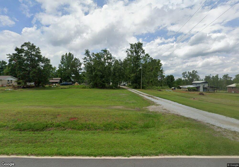
1409 Springfield Rd Union Point, GA 30669
Estimated Value: $158,654 - $311,000
Studio
1
Bath
1,726
Sq Ft
$136/Sq Ft
Est. Value
About This Home
This home is located at 1409 Springfield Rd, Union Point, GA 30669 and is currently estimated at $234,827, approximately $136 per square foot. 1409 Springfield Rd is a home located in Taliaferro County with nearby schools including Taliaferro County School.
Ownership History
Date
Name
Owned For
Owner Type
Purchase Details
Closed on
Jun 2, 2008
Sold by
B & A Mobile Homes Inc
Bought by
Bowman Michael S
Current Estimated Value
Home Financials for this Owner
Home Financials are based on the most recent Mortgage that was taken out on this home.
Original Mortgage
$92,760
Outstanding Balance
$58,388
Interest Rate
6.02%
Mortgage Type
New Conventional
Estimated Equity
$176,439
Purchase Details
Closed on
May 6, 1998
Sold by
Shavers Willie B
Bought by
Bowman Michael S
Purchase Details
Closed on
Dec 16, 1996
Sold by
Shavers Willie B
Bought by
Bowman Michael S
Create a Home Valuation Report for This Property
The Home Valuation Report is an in-depth analysis detailing your home's value as well as a comparison with similar homes in the area
Purchase History
| Date | Buyer | Sale Price | Title Company |
|---|---|---|---|
| Bowman Michael S | $97,890 | -- | |
| B & A Mobile Homes Inc | $5,000 | -- | |
| Bowman Michael S | -- | -- | |
| Bowman Michael S | $1,000 | -- |
Source: Public Records
Mortgage History
| Date | Status | Borrower | Loan Amount |
|---|---|---|---|
| Open | B & A Mobile Homes Inc | $92,760 | |
| Closed | Bowman Michael S | $92,760 |
Source: Public Records
Tax History
| Year | Tax Paid | Tax Assessment Tax Assessment Total Assessment is a certain percentage of the fair market value that is determined by local assessors to be the total taxable value of land and additions on the property. | Land | Improvement |
|---|---|---|---|---|
| 2025 | $2,208 | $80,600 | $3,400 | $77,200 |
| 2024 | $1,506 | $41,200 | $1,120 | $40,080 |
| 2023 | $1,506 | $41,200 | $1,120 | $40,080 |
| 2022 | $1,554 | $42,440 | $1,120 | $41,320 |
| 2021 | $1,554 | $42,440 | $1,120 | $41,320 |
| 2020 | $1,555 | $42,440 | $1,120 | $41,320 |
| 2019 | $1,557 | $42,440 | $1,120 | $41,320 |
| 2018 | $1,646 | $42,440 | $1,120 | $41,320 |
| 2017 | $1,561 | $42,440 | $1,120 | $41,320 |
| 2016 | $1,560 | $42,440 | $1,120 | $41,320 |
| 2015 | -- | $42,440 | $1,120 | $41,320 |
| 2014 | -- | $42,440 | $1,120 | $41,320 |
| 2013 | -- | $42,440 | $1,120 | $41,320 |
Source: Public Records
Map
Nearby Homes
- 000 Greensboro Rd NW
- 0 Greensboro Rd Unit 10649352
- 0 Greensboro Rd Unit CL343963
- 0 Amber Ct Unit 10662673
- 0 Saggus Rd Unit 10580223
- 5111 Greensboro Rd
- 0 Silas Mercer Rd NE Unit 10364766
- 167 Commerce St NE
- 127 SW Martin Luther King jr Dr
- 127 Martin Luther King Junior Dr SW
- 118 Alexander St
- 0 Bartram Trace Rd
- 115 Moore St SW
- 1201 Buffalo Lick Rd
- 0 Buffalo Lick Rd Unit 10551234
- 0 Buffalo Lick Rd Unit 10551325
- 1860 Washington Hwy
- 5401 Union Point Hwy
- 202 Thompson St
- 1173 Old Bethany Rd
