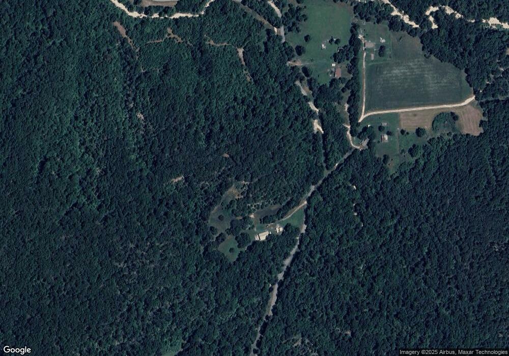
14090 S 439 Locust Grove, OK 74352
Estimated Value: $113,791 - $155,000
2
Beds
1
Bath
1,305
Sq Ft
$103/Sq Ft
Est. Value
About This Home
This home is located at 14090 S 439, Locust Grove, OK 74352 and is currently estimated at $134,396, approximately $102 per square foot. 14090 S 439 is a home located in Mayes County with nearby schools including Locust Grove Early Lrning Center, Locust Grove Upper Elementary School, and Locust Grove Middle School.
Ownership History
Date
Name
Owned For
Owner Type
Purchase Details
Closed on
Mar 9, 2017
Sold by
Callahan Mike
Bought by
Callahan Micheal F and The Micheal F Callahan Living Trust
Current Estimated Value
Purchase Details
Closed on
Mar 8, 2010
Sold by
Schaefer Rodney A and Schaefer Anna Kristine
Bought by
Callahan Mike and Callahan Jo
Purchase Details
Closed on
Jul 28, 1993
Sold by
Brown Ronald W and Brown Sr
Bought by
Foster Ronald Edwin
Create a Home Valuation Report for This Property
The Home Valuation Report is an in-depth analysis detailing your home's value as well as a comparison with similar homes in the area
Home Values in the Area
Average Home Value in this Area
Purchase History
| Date | Buyer | Sale Price | Title Company |
|---|---|---|---|
| Callahan Micheal F | -- | None Available | |
| Callahan Mike | $50,000 | None Available | |
| Foster Ronald Edwin | $12,000 | -- |
Source: Public Records
Tax History Compared to Growth
Tax History
| Year | Tax Paid | Tax Assessment Tax Assessment Total Assessment is a certain percentage of the fair market value that is determined by local assessors to be the total taxable value of land and additions on the property. | Land | Improvement |
|---|---|---|---|---|
| 2025 | $443 | $4,900 | $163 | $4,737 |
| 2023 | $443 | $4,618 | $162 | $4,456 |
| 2022 | $405 | $4,484 | $162 | $4,322 |
| 2021 | $401 | $4,353 | $162 | $4,191 |
| 2020 | $395 | $4,227 | $162 | $4,065 |
| 2019 | $384 | $4,104 | $162 | $3,942 |
| 2018 | $380 | $3,984 | $162 | $3,822 |
| 2017 | $381 | $3,984 | $162 | $3,822 |
| 2016 | $372 | $3,984 | $162 | $3,822 |
| 2015 | $384 | $3,984 | $162 | $3,822 |
| 2014 | $388 | $4,032 | $162 | $3,870 |
Source: Public Records
Map
Nearby Homes
- 14209 S 439
- 0 Rural Route Unit 25-1842
- 58 Oak
- 5747 E 620 Rd
- 0 S 4409 Rd
- 0 S 043 Rd Unit 2512653
- 12754 S 442 Rd
- 0 E 610 Rd Unit 2542638
- 5580 E 610 Rd
- 7167 E 618 Rd
- 1819 E 600
- 12665 S 4429
- 10015 E 632 Rd
- 4100 N 430 Rd
- 8465 W 660 Rd Hulbert Unit OK 74441
- 8465 W 660 Rd
- 381 S 437
- 6164 E 578
- 34190 E 651 Way
- 10171 U S Highway 412
- 0 439 Rd S Unit 21-1651
- 13909 S 439
- 4046 E 627
- 4069 E 627
- 13649 S 439
- TBD Ear Bob Rd
- 14422 S 439
- 3536 Ear Bob Rd
- 3484 Ear Bob Rd
- 3618 Earbob Rd
- 0 Rural Route 2 Rd Unit 2501176
- 0 Rural Route 2 Rd Unit 1841810
- 0 Rural Route 2 Rd Unit 1912138
- 0 Rural Route 2 Rd Unit 2100141
- 224 SW 629
- 4488 E 627
- 3759 Ear Bob Rd
- 2864 Ear Bob Rd
- 14655 S 439
- 11878 E 575 Rd
