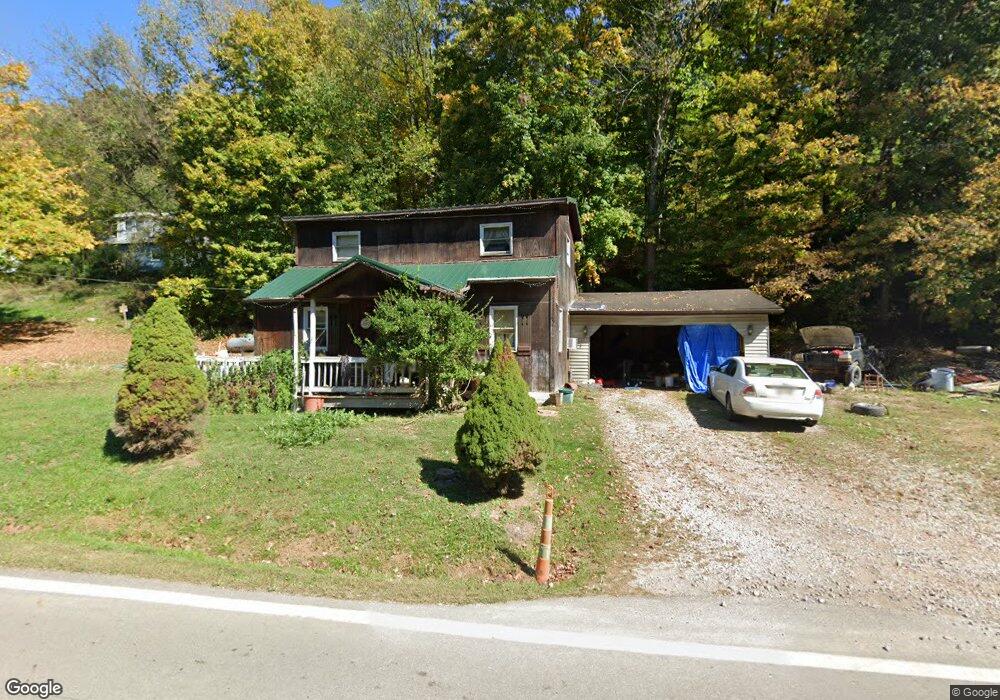
14092 State Route 691 Nelsonville, OH 45764
Estimated Value: $132,966 - $217,000
4
Beds
2
Baths
1,394
Sq Ft
$132/Sq Ft
Est. Value
About This Home
This home is located at 14092 State Route 691, Nelsonville, OH 45764 and is currently estimated at $183,742, approximately $131 per square foot. 14092 State Route 691 is a home located in Athens County with nearby schools including Nelsonville-York Elementary School, Nelsonville-York Junior High School, and Nelsonville-York High School.
Ownership History
Date
Name
Owned For
Owner Type
Purchase Details
Closed on
Sep 2, 2014
Sold by
Andrews Jeffrey M and Blackford Rose
Bought by
Glenn Steven Michael
Current Estimated Value
Purchase Details
Closed on
Jul 20, 2014
Sold by
Sandy Glenn Gary and Sandy Glenn
Bought by
Glenn Steven Michael
Purchase Details
Closed on
Aug 29, 2003
Sold by
Boyea Dick
Bought by
Glenn Steven Michael and Mary Belle
Purchase Details
Closed on
Mar 5, 1992
Sold by
Stump Denver N
Bought by
Boyea Dick
Purchase Details
Closed on
Jun 1, 1991
Create a Home Valuation Report for This Property
The Home Valuation Report is an in-depth analysis detailing your home's value as well as a comparison with similar homes in the area
Home Values in the Area
Average Home Value in this Area
Purchase History
| Date | Buyer | Sale Price | Title Company |
|---|---|---|---|
| Glenn Steven Michael | -- | Attorney | |
| Glenn Steven Michael | -- | Attorney | |
| Glenn Steven Michael | $32,000 | -- | |
| Boyea Dick | $33,000 | -- | |
| -- | $6,000 | -- |
Source: Public Records
Tax History Compared to Growth
Tax History
| Year | Tax Paid | Tax Assessment Tax Assessment Total Assessment is a certain percentage of the fair market value that is determined by local assessors to be the total taxable value of land and additions on the property. | Land | Improvement |
|---|---|---|---|---|
| 2024 | $716 | $25,970 | $2,460 | $23,510 |
| 2023 | $731 | $25,970 | $2,460 | $23,510 |
| 2022 | $548 | $20,740 | $2,080 | $18,660 |
| 2021 | $550 | $20,740 | $2,080 | $18,660 |
| 2020 | $517 | $20,740 | $2,080 | $18,660 |
| 2019 | $483 | $19,210 | $1,990 | $17,220 |
| 2018 | $485 | $19,210 | $1,990 | $17,220 |
| 2017 | $486 | $19,210 | $1,990 | $17,220 |
| 2016 | $441 | $17,790 | $1,810 | $15,980 |
| 2015 | $1,174 | $17,790 | $1,810 | $15,980 |
| 2014 | $1,174 | $17,790 | $1,810 | $15,980 |
| 2013 | $1,432 | $22,820 | $1,810 | $21,010 |
Source: Public Records
Map
Nearby Homes
- 14881 State Route 691
- 14946 Ohio 691
- 12981 Spice Lick Rd
- 11685 State Route 691
- 1310 E Canal St
- 1137 Poplar St
- 20 4th St
- 874 Chestnut St
- 6559 Poston Rd
- 11250 Grass Run Rd
- 474 Chestnut St
- 443 Chestnut St
- 480 High St
- 190 Myers St
- 1110 Burr Oak Blvd
- 240 Jefferson St
- 0 St Charles Unit 2433628
- 0 Lemaster Rd
- 0 Lemaster Rd Unit 23368524
- 0 Lemaster Rd Unit 11486521
- 14106 State Route 691
- 14110 State Route 691
- 14114 State Route 691
- 14148 State Route 691
- 14145 State Route 691
- 4199 Matheny Rd
- 4454 Monk Rd
- 3895 Matheny Rd
- 3789 Matheny Rd
- 4730 Monk Rd
- 14672 State Route 691
- 3965 Huddy Rd
- 14701 State Route 691
- 0 Huddy Rd
- 14794 State Route 691
- 14765 State Route 691
- 3670 Matheny Rd
- 3594 Matheny Rd
- 3550 Matheny Rd
- 3550 Matheny Rd