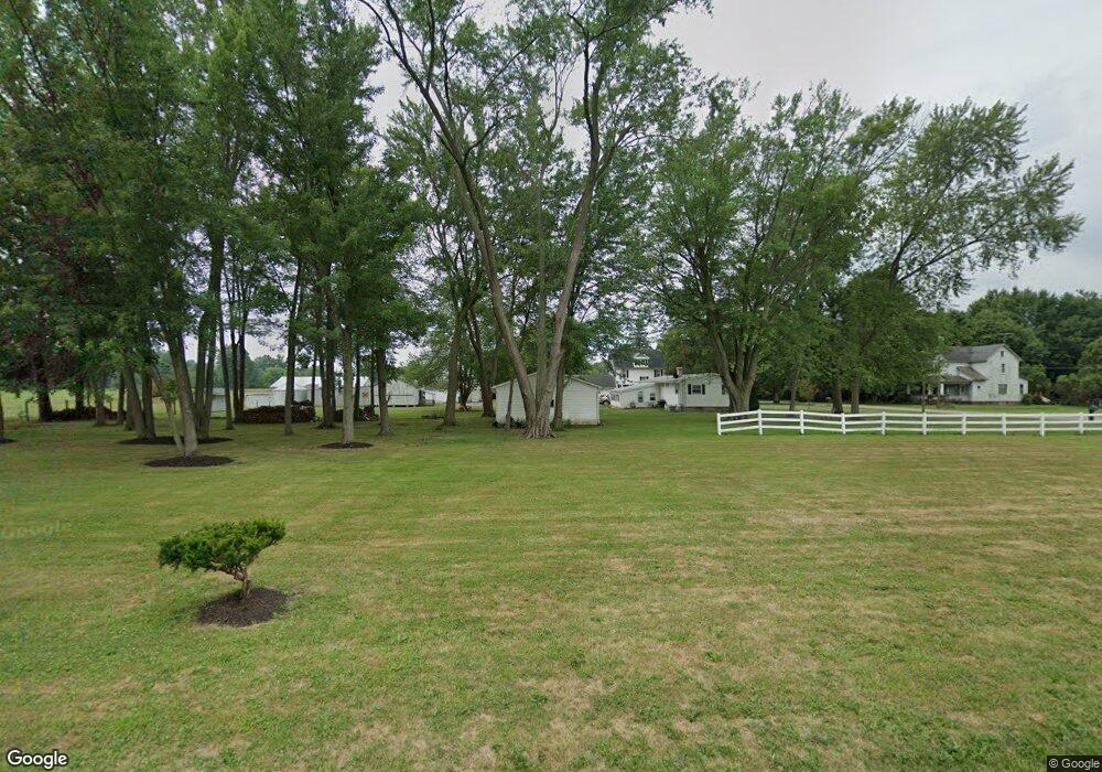
14093 Bandy Rd Alliance, OH 44601
Estimated Value: $252,000
3
Beds
1
Bath
1,388
Sq Ft
$182/Sq Ft
Est. Value
About This Home
This home is located at 14093 Bandy Rd, Alliance, OH 44601 and is currently priced at $252,000, approximately $181 per square foot. 14093 Bandy Rd is a home located in Mahoning County with nearby schools including West Branch Middle School, West Branch Early Learning Center, and West Branch High School.
Ownership History
Date
Name
Owned For
Owner Type
Purchase Details
Closed on
Apr 10, 2019
Sold by
Kelly Anita L and Kelly Anita
Bought by
Custar Robert L and Custar Rosemary E
Current Estimated Value
Purchase Details
Closed on
Nov 3, 1998
Sold by
Pickering Barbara Astrid and Pickering Roger L
Bought by
Kelly Anita and Kelly Ronald
Home Financials for this Owner
Home Financials are based on the most recent Mortgage that was taken out on this home.
Original Mortgage
$37,500
Interest Rate
6.78%
Mortgage Type
Purchase Money Mortgage
Purchase Details
Closed on
May 14, 1982
Bought by
Pickering Barbara
Create a Home Valuation Report for This Property
The Home Valuation Report is an in-depth analysis detailing your home's value as well as a comparison with similar homes in the area
Home Values in the Area
Average Home Value in this Area
Purchase History
| Date | Buyer | Sale Price | Title Company |
|---|---|---|---|
| Custar Robert L | $2,800 | None Available | |
| Kelly Anita | $20,200 | -- | |
| Pickering Barbara | -- | -- |
Source: Public Records
Mortgage History
| Date | Status | Borrower | Loan Amount |
|---|---|---|---|
| Previous Owner | Kelly Anita | $37,500 |
Source: Public Records
Tax History Compared to Growth
Tax History
| Year | Tax Paid | Tax Assessment Tax Assessment Total Assessment is a certain percentage of the fair market value that is determined by local assessors to be the total taxable value of land and additions on the property. | Land | Improvement |
|---|---|---|---|---|
| 2024 | $6 | $1,300 | $1,300 | -- |
| 2023 | $6 | $160 | $160 | $0 |
| 2022 | $2 | $960 | $960 | $0 |
| 2021 | $39 | $960 | $960 | $0 |
| 2020 | $39 | $960 | $960 | $0 |
| 2019 | $92 | $2,020 | $1,600 | $420 |
| 2018 | $148 | $3,350 | $1,600 | $1,750 |
| 2017 | $74 | $3,350 | $1,600 | $1,750 |
| 2016 | $3 | $4,200 | $1,110 | $3,090 |
| 2015 | $3 | $4,200 | $1,110 | $3,090 |
| 2014 | $3 | $4,200 | $1,110 | $3,090 |
| 2013 | $3 | $4,200 | $1,110 | $3,090 |
Source: Public Records
Map
Nearby Homes
- 1235 Elm St
- 670 W Maryland Ave
- 495 W Texas Ave
- 625 W Maryland Ave
- 472 W New York Ave
- 24893 Us-62
- 11511 N Johnson Rd
- 0 W Maryland Ave
- 145 N 17th St
- 406 W Indiana Ave
- 325 W Maryland Ave
- 286 W Maryland Ave
- 104 W Carolina Ave
- 240 S 15th St
- 0 16th St Unit 5159092
- 216 E Carolina Ave
- 22841 Lake Park Blvd
- 125 E Indiana Ave
- 154 W Nevada Ave Unit 154
- 756 N 15th St
- 21015 Lake Park Blvd
- 14096 Bandy Rd
- 14117 Bandy Rd
- 21012 Lake Park Blvd
- 14047 Bandy Rd
- 14118 Bandy Rd
- 20954 Lake Park Blvd
- 21022 Lake Park Blvd
- 662 S Bandy Rd
- 20771 Lake Park Blvd
- 21042 Lake Park Blvd
- 14023 Bandy Rd
- 14142 Bandy Rd
- 21075 Lake Park Blvd
- 20931 Oak St
- 21041 Oak St
- 21110 Lake Park Blvd
- 20874 Lake Park Blvd
- 20928 Oak St
- 14190 Bandy Rd