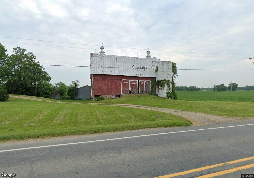
141 141st Ave Wayland, MI 49348
Estimated Value: $820,395 - $1,006,000
6
Beds
8
Baths
3,864
Sq Ft
$236/Sq Ft
Est. Value
About This Home
This home is located at 141 141st Ave, Wayland, MI 49348 and is currently estimated at $913,198, approximately $236 per square foot. 141 141st Ave is a home located in Allegan County with nearby schools including McFall Elementary School, Page Elementary School, and Lee Elementary School.
Ownership History
Date
Name
Owned For
Owner Type
Purchase Details
Closed on
Jul 23, 2008
Sold by
Kaechele David J and Kaechele Sharon A
Bought by
Kaechele Mark A and Kaechele Ronda A
Current Estimated Value
Purchase Details
Closed on
Jul 14, 1999
Bought by
Sharon Kaechele Trust
Purchase Details
Closed on
Jun 29, 1981
Sold by
Kaechele David J and Kaechele Sharon
Bought by
Kaechele Sharon Trust
Create a Home Valuation Report for This Property
The Home Valuation Report is an in-depth analysis detailing your home's value as well as a comparison with similar homes in the area
Home Values in the Area
Average Home Value in this Area
Purchase History
| Date | Buyer | Sale Price | Title Company |
|---|---|---|---|
| Kaechele Mark A | -- | None Available | |
| Sharon Kaechele Trust | $190,000 | -- | |
| Kaechele Sharon Trust | $190,000 | -- |
Source: Public Records
Tax History Compared to Growth
Tax History
| Year | Tax Paid | Tax Assessment Tax Assessment Total Assessment is a certain percentage of the fair market value that is determined by local assessors to be the total taxable value of land and additions on the property. | Land | Improvement |
|---|---|---|---|---|
| 2025 | $5,971 | $329,200 | $23,200 | $306,000 |
| 2024 | $5,426 | $323,900 | $20,000 | $303,900 |
| 2023 | $5,426 | $287,000 | $20,000 | $267,000 |
| 2022 | $5,426 | $253,500 | $20,000 | $233,500 |
| 2021 | $5,093 | $229,200 | $21,100 | $208,100 |
| 2020 | $5,055 | $215,900 | $21,100 | $194,800 |
| 2019 | $4,924 | $203,300 | $19,300 | $184,000 |
| 2018 | $4,753 | $196,000 | $19,300 | $176,700 |
| 2017 | $0 | $182,200 | $19,300 | $162,900 |
| 2016 | $0 | $157,600 | $19,300 | $138,300 |
| 2015 | -- | $157,600 | $19,300 | $138,300 |
| 2014 | -- | $142,000 | $18,000 | $124,000 |
| 2013 | $3,353 | $133,300 | $18,000 | $115,300 |
Source: Public Records
Map
Nearby Homes
- 4007 2nd St
- Lot 7 Reflection Pond Dr
- 2615 Harwood Lake Rd
- 366 Green Ridge Dr
- 4525 Mesa Ct SE
- Bayberry Plan at Paris Ridge
- Freedom Plan at Paris Ridge
- Charlotte Plan at Paris Ridge
- Karolynn Plan at Paris Ridge
- Oxford Plan at Paris Ridge
- Sierra Plan at Paris Ridge
- Hampton Plan at Paris Ridge
- Reno Plan at Paris Ridge
- London Plan at Paris Ridge
- Vienna Plan at Paris Ridge
- 246 Wren Ct
- 4655 Paris Ridge Dr
- 4626 Hilltop Dr
- 3905 Sunset View
- 1391 Shadowridge Dr