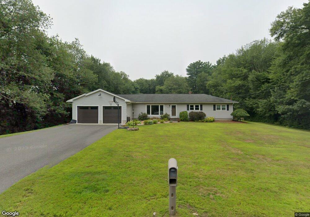
141 Allen St Hampden, MA 01036
Estimated Value: $352,000 - $451,283
3
Beds
2
Baths
1,248
Sq Ft
$333/Sq Ft
Est. Value
About This Home
This home is located at 141 Allen St, Hampden, MA 01036 and is currently estimated at $415,571, approximately $332 per square foot. 141 Allen St is a home located in Hampden County with nearby schools including Minnechaug Regional High School and Pioneer Valley Montessori School.
Ownership History
Date
Name
Owned For
Owner Type
Purchase Details
Closed on
Feb 26, 2008
Sold by
Olde England Funding L
Bought by
Lafield Jason M and Lafield Stephanie
Current Estimated Value
Home Financials for this Owner
Home Financials are based on the most recent Mortgage that was taken out on this home.
Original Mortgage
$206,750
Outstanding Balance
$129,904
Interest Rate
5.9%
Mortgage Type
Purchase Money Mortgage
Estimated Equity
$285,667
Purchase Details
Closed on
Oct 11, 2006
Sold by
Forni Michael
Bought by
Olde New Eng Funding L
Purchase Details
Closed on
Oct 8, 2003
Sold by
Megas Eugenia and Taliadouros Marina
Bought by
Forni Michael and Forni Suzanne
Home Financials for this Owner
Home Financials are based on the most recent Mortgage that was taken out on this home.
Original Mortgage
$166,500
Interest Rate
6.35%
Mortgage Type
Purchase Money Mortgage
Create a Home Valuation Report for This Property
The Home Valuation Report is an in-depth analysis detailing your home's value as well as a comparison with similar homes in the area
Home Values in the Area
Average Home Value in this Area
Purchase History
| Date | Buyer | Sale Price | Title Company |
|---|---|---|---|
| Lafield Jason M | $210,000 | -- | |
| Olde New Eng Funding L | -- | -- | |
| Forni Michael | $185,000 | -- |
Source: Public Records
Mortgage History
| Date | Status | Borrower | Loan Amount |
|---|---|---|---|
| Open | Lafield Jason M | $206,750 | |
| Previous Owner | Forni Michael | $166,500 |
Source: Public Records
Tax History Compared to Growth
Tax History
| Year | Tax Paid | Tax Assessment Tax Assessment Total Assessment is a certain percentage of the fair market value that is determined by local assessors to be the total taxable value of land and additions on the property. | Land | Improvement |
|---|---|---|---|---|
| 2025 | $5,912 | $391,800 | $82,900 | $308,900 |
| 2024 | $5,755 | $367,500 | $75,000 | $292,500 |
| 2023 | $5,540 | $328,400 | $75,000 | $253,400 |
| 2022 | $5,399 | $288,400 | $83,100 | $205,300 |
| 2021 | $4,242 | $270,900 | $83,100 | $187,800 |
| 2020 | $4,201 | $208,500 | $75,000 | $133,500 |
| 2019 | $4,021 | $204,200 | $75,000 | $129,200 |
| 2018 | $4,014 | $200,700 | $83,100 | $117,600 |
| 2017 | $3,814 | $197,700 | $83,100 | $114,600 |
| 2016 | $3,793 | $195,900 | $85,700 | $110,200 |
| 2015 | $3,684 | $194,100 | $85,700 | $108,400 |
Source: Public Records
Map
Nearby Homes
- 19 Deerfield Cir
- 8 Evergreen Terrace
- 21 Old Orchard Rd
- 319 Main St
- 241 Hampden Rd
- 2 Southwood Cir
- 88 Tall Pines Rd Unit 88
- 133 Somers Rd
- 37 Bent Tree Dr
- 50 Martin Farms Rd
- 12 Edwill Rd
- 41 Martin Farms Rd
- 374
- 226 Allen St
- 350 Parker St
- 15 Fernwood Dr
- 16 Tall Timber Dr
- 75 Marci Ave
- 404 Parker St
- 57 Marci Ave