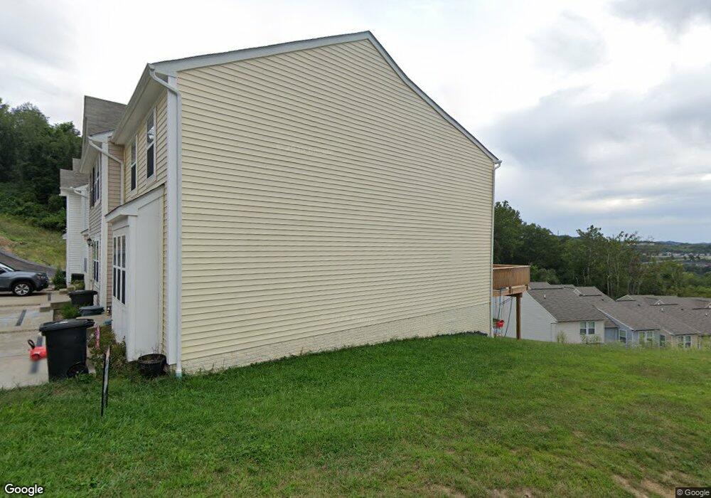
141 Auburn Dr Morgantown, WV 26501
Estimated Value: $226,000 - $265,486
3
Beds
4
Baths
1,818
Sq Ft
$132/Sq Ft
Est. Value
About This Home
This home is located at 141 Auburn Dr, Morgantown, WV 26501 and is currently estimated at $239,872, approximately $131 per square foot. 141 Auburn Dr is a home located in Monongalia County with nearby schools including Skyview Elementary School, Westwood Middle School, and University High School.
Ownership History
Date
Name
Owned For
Owner Type
Purchase Details
Closed on
Sep 7, 2022
Sold by
Jillian Kowcheck
Bought by
Henderson Christopher and Henderson Candi
Current Estimated Value
Purchase Details
Closed on
Feb 12, 2020
Sold by
Wray Mathew W
Bought by
Kowcheck Jillian
Home Financials for this Owner
Home Financials are based on the most recent Mortgage that was taken out on this home.
Original Mortgage
$172,425
Interest Rate
3.6%
Mortgage Type
New Conventional
Purchase Details
Closed on
Dec 11, 2014
Sold by
Dan Ryan Builders Inc
Bought by
Wray Mathew W
Create a Home Valuation Report for This Property
The Home Valuation Report is an in-depth analysis detailing your home's value as well as a comparison with similar homes in the area
Home Values in the Area
Average Home Value in this Area
Purchase History
| Date | Buyer | Sale Price | Title Company |
|---|---|---|---|
| Henderson Christopher | $218,000 | -- | |
| Kowcheck Jillian | $181,500 | None Available | |
| Wray Mathew W | -- | None Available |
Source: Public Records
Mortgage History
| Date | Status | Borrower | Loan Amount |
|---|---|---|---|
| Previous Owner | Kowcheck Jillian | $172,425 |
Source: Public Records
Tax History
| Year | Tax Paid | Tax Assessment Tax Assessment Total Assessment is a certain percentage of the fair market value that is determined by local assessors to be the total taxable value of land and additions on the property. | Land | Improvement |
|---|---|---|---|---|
| 2025 | $2,531 | $118,440 | $20,100 | $98,340 |
| 2024 | $2,531 | $113,040 | $20,100 | $92,940 |
| 2023 | $2,409 | $113,040 | $20,100 | $92,940 |
| 2022 | $1,141 | $111,360 | $20,100 | $91,260 |
| 2021 | $1,147 | $111,360 | $20,100 | $91,260 |
| 2020 | $1,152 | $111,360 | $20,100 | $91,260 |
| 2019 | $1,101 | $105,660 | $20,100 | $85,560 |
| 2018 | $1,104 | $105,660 | $20,100 | $85,560 |
| 2017 | $1,098 | $104,520 | $18,960 | $85,560 |
| 2016 | $1,087 | $102,840 | $18,960 | $83,880 |
| 2015 | $2 | $100 | $100 | $0 |
Source: Public Records
Map
Nearby Homes
- 258 Horizon View Rd
- 111 Auburn Dr
- TBD Lockview Ave
- 129 Lexington Ave
- 32.74 AC Dupont Rd
- 755 Fairmont Rd
- Lot 7 Duval Ln E
- 32 Cleveland Ave
- 213 Birds Eye View Dr
- 119 Columbus St
- 122 Parkview Dr
- 120 Parkview Dr
- 30 West St
- 28 West St
- 305 Riverview Ave
- 105 Holland Ave
- 5 Dunkard Ave
- 13 Dunkard Ave
- 132 Birds Eye View Dr
- 109 Birds Eye View Dr
Your Personal Tour Guide
Ask me questions while you tour the home.