141 Ball Airport Rd Louisburg, NC 27549
Estimated Value: $289,000 - $548,000
3
Beds
3
Baths
2,028
Sq Ft
$223/Sq Ft
Est. Value
About This Home
This home is located at 141 Ball Airport Rd, Louisburg, NC 27549 and is currently estimated at $452,230, approximately $222 per square foot. 141 Ball Airport Rd is a home with nearby schools including Louisburg Elementary School, Terrell Lane Middle School, and Louisburg High School.
Ownership History
Date
Name
Owned For
Owner Type
Purchase Details
Closed on
Feb 5, 2009
Sold by
Hayes George M and Hayes Pamela B
Bought by
Dickerson Vernon B and Dickerson Rita M
Current Estimated Value
Create a Home Valuation Report for This Property
The Home Valuation Report is an in-depth analysis detailing your home's value as well as a comparison with similar homes in the area
Home Values in the Area
Average Home Value in this Area
Purchase History
| Date | Buyer | Sale Price | Title Company |
|---|---|---|---|
| Dickerson Vernon B | -- | None Available | |
| Dickerson Vernon B | -- | None Available |
Source: Public Records
Tax History Compared to Growth
Tax History
| Year | Tax Paid | Tax Assessment Tax Assessment Total Assessment is a certain percentage of the fair market value that is determined by local assessors to be the total taxable value of land and additions on the property. | Land | Improvement |
|---|---|---|---|---|
| 2025 | $2,929 | $467,955 | $93,755 | $374,200 |
| 2024 | $2,929 | $467,955 | $93,755 | $374,200 |
| 2023 | $2,621 | $284,560 | $37,920 | $246,640 |
| 2022 | $2,611 | $284,560 | $37,920 | $246,640 |
| 2021 | $2,640 | $284,560 | $37,920 | $246,640 |
| 2020 | $2,627 | $284,560 | $37,920 | $246,640 |
| 2019 | $2,610 | $284,560 | $37,920 | $246,640 |
| 2018 | $2,612 | $284,560 | $37,920 | $246,640 |
| 2017 | $2,485 | $246,040 | $31,310 | $214,730 |
| 2016 | $2,551 | $244,080 | $31,310 | $212,770 |
| 2015 | $2,539 | $244,080 | $31,310 | $212,770 |
| 2014 | $2,386 | $244,080 | $31,310 | $212,770 |
Source: Public Records
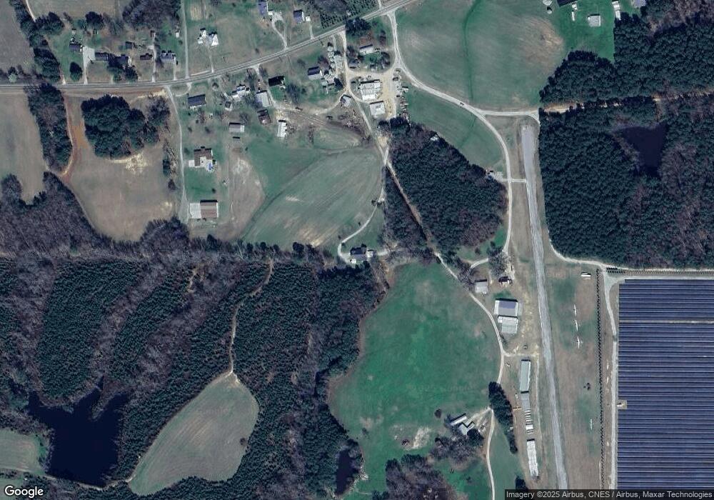
Map
Nearby Homes
- 0 Zinnia Ct Unit 10129898
- 376 T K Allen Rd
- 615 Woodland Trail
- 109 Drew St
- 101 Briarwood Ct
- 7.69 Acres N Carolina 561
- 23.20 Acre N Carolina 561
- 10.26 Acre N Carolina 561
- 0-0 Halifax Rd
- 126 Person St
- 612 N Main St
- 0 Beasley Rd Unit 10130664
- 604 N Main St
- 55 Leisure Ln
- 70 Leisure Ln
- 45 Leisure Ln
- 125 Davis St
- 301 W College St
- 313 W Noble St
- 414 W Noble St
- 174 Moulton Rd
- 174 Moulton Rd
- 202 Moulton Rd
- 202 Moulton Rd
- 162 Moulton Rd
- 8.94 Acres Moulton Rd
- 203 Moulton Rd
- 175 Moulton Rd
- 155 Moulton Rd
- 207 Moulton Rd
- 145 Moulton Rd
- 135 Moulton Rd
- 20 Hayes Brothers Way
- 7.82 Acres Moulton Rd
- 21 Hayes Brothers Way
- 307 Moulton Rd
- Lot 2 Kneeto Rd
- lot 1 Kneeto Dr
- Lot 2 Kneeto Rd Unit 2
- lot 1 Kneeto Dr Unit 1