141 Brook Rd Kings Mountain, NC 28086
Estimated Value: $121,000 - $278,000
Studio
--
Bath
--
Sq Ft
539,229
Sq Ft Lot
About This Home
This home is located at 141 Brook Rd, Kings Mountain, NC 28086 and is currently estimated at $188,035. 141 Brook Rd is a home located in Cleveland County with nearby schools including Bethware Elementary School, Kings Mountain Intermediate School, and Kings Mountain Middle.
Ownership History
Date
Name
Owned For
Owner Type
Purchase Details
Closed on
Apr 27, 2021
Sold by
Mccomas Gregory V and Mccomas Juanita R
Bought by
Goforth Charles Edward
Current Estimated Value
Home Financials for this Owner
Home Financials are based on the most recent Mortgage that was taken out on this home.
Original Mortgage
$67,000
Outstanding Balance
$55,682
Interest Rate
3%
Mortgage Type
Credit Line Revolving
Estimated Equity
$132,353
Create a Home Valuation Report for This Property
The Home Valuation Report is an in-depth analysis detailing your home's value as well as a comparison with similar homes in the area
Home Values in the Area
Average Home Value in this Area
Purchase History
| Date | Buyer | Sale Price | Title Company |
|---|---|---|---|
| Goforth Charles Edward | $89,500 | None Available |
Source: Public Records
Mortgage History
| Date | Status | Borrower | Loan Amount |
|---|---|---|---|
| Open | Goforth Charles Edward | $67,000 |
Source: Public Records
Tax History
| Year | Tax Paid | Tax Assessment Tax Assessment Total Assessment is a certain percentage of the fair market value that is determined by local assessors to be the total taxable value of land and additions on the property. | Land | Improvement |
|---|---|---|---|---|
| 2025 | $608 | $95,694 | $90,119 | $5,575 |
| 2024 | $323 | $40,589 | $34,314 | $6,275 |
| 2023 | $321 | $40,589 | $34,314 | $6,275 |
| 2022 | $321 | $40,589 | $34,314 | $6,275 |
| 2021 | $329 | $40,589 | $34,314 | $6,275 |
| 2020 | $337 | $39,130 | $32,680 | $6,450 |
| 2019 | $324 | $39,130 | $32,680 | $6,450 |
| 2018 | $332 | $39,130 | $32,680 | $6,450 |
| 2017 | $330 | $39,130 | $32,680 | $6,450 |
| 2016 | $339 | $39,130 | $32,680 | $6,450 |
| 2015 | $252 | $27,869 | $27,369 | $500 |
| 2014 | $254 | $27,869 | $27,369 | $500 |
Source: Public Records
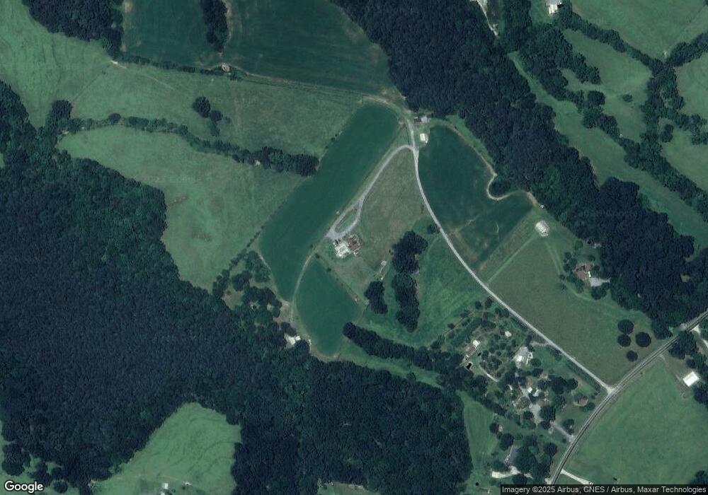
Map
Nearby Homes
- 617 Oak Grove Rd
- 117 Wright Rd
- 109 Wright Rd
- 124 Rollingbrook Rd
- 424 Rollingbrook Rd
- 137 Colton Ct
- 000 Putnam Lake Rd
- 221 Reliance Rd
- 105 Ager Dr
- 124 Gold Run Ct
- 236 Hoyles Rd
- 00 Gary Beam Rd
- 104 Ole Farm Place
- 104 Preston Trail
- 107 Stony Point Rd
- 112 Kimbo Dr
- 103 Stony Point Rd
- 1427 Merrimont Ave
- 155 Patterson Rd
- 135 Harbourtown Dr
- 141 Brook Rd
- 130 Ware Loop Dr
- 134 Ware Loop Dr
- 124 Ware Loop Dr
- 122 Ware Loop Dr
- 120 Ware Loop Dr
- 116 Ware Loop Dr
- 133 Brook Rd
- 110 Ware Loop Dr
- 0 Ware Loop Dr
- 115 Ware Loop Dr
- 137 Brook Rd
- 127 Brook Rd
- 138 Ware Loop Dr
- 148 Brook Rd
- 115 Brook Rd
- 122 Brook Rd
- 122 Brook Rd
- 144 Ware Loop Dr
- 118 Brook Rd
Your Personal Tour Guide
Ask me questions while you tour the home.