141 Brook Rd Kings Mountain, NC 28086
Estimated Value: $503,000 - $609,000
--
Bed
--
Bath
2,488
Sq Ft
$214/Sq Ft
Est. Value
About This Home
This home is located at 141 Brook Rd, Kings Mountain, NC 28086 and is currently estimated at $532,803, approximately $214 per square foot. 141 Brook Rd is a home located in Cleveland County with nearby schools including Bethware Elementary School, Kings Mountain Intermediate School, and Kings Mountain Middle.
Ownership History
Date
Name
Owned For
Owner Type
Purchase Details
Closed on
Jan 18, 2019
Sold by
Mccomas Gregory V and Mccomas Juanita R
Bought by
Beard Goforth Iii Charles Edward and Beard Goforth Dana
Current Estimated Value
Home Financials for this Owner
Home Financials are based on the most recent Mortgage that was taken out on this home.
Original Mortgage
$274,496
Outstanding Balance
$241,436
Interest Rate
4.62%
Mortgage Type
FHA
Estimated Equity
$291,367
Create a Home Valuation Report for This Property
The Home Valuation Report is an in-depth analysis detailing your home's value as well as a comparison with similar homes in the area
Home Values in the Area
Average Home Value in this Area
Purchase History
| Date | Buyer | Sale Price | Title Company |
|---|---|---|---|
| Beard Goforth Iii Charles Edward | $300,000 | None Available |
Source: Public Records
Mortgage History
| Date | Status | Borrower | Loan Amount |
|---|---|---|---|
| Open | Beard Goforth Iii Charles Edward | $274,496 |
Source: Public Records
Tax History Compared to Growth
Tax History
| Year | Tax Paid | Tax Assessment Tax Assessment Total Assessment is a certain percentage of the fair market value that is determined by local assessors to be the total taxable value of land and additions on the property. | Land | Improvement |
|---|---|---|---|---|
| 2025 | $3,574 | $562,768 | $48,640 | $514,128 |
| 2024 | $2,585 | $315,106 | $25,026 | $290,080 |
| 2023 | $2,573 | $315,106 | $25,026 | $290,080 |
| 2022 | $2,573 | $315,106 | $25,026 | $290,080 |
| 2021 | $2,583 | $315,106 | $25,026 | $290,080 |
| 2020 | $1,902 | $220,962 | $24,120 | $196,842 |
| 2019 | $1,902 | $220,962 | $24,120 | $196,842 |
| 2018 | $1,898 | $220,962 | $24,120 | $196,842 |
| 2017 | $1,888 | $220,962 | $24,120 | $196,842 |
| 2016 | $1,808 | $220,962 | $24,120 | $196,842 |
| 2015 | $1,643 | $200,120 | $20,830 | $179,290 |
| 2014 | $1,598 | $194,406 | $20,830 | $173,576 |
Source: Public Records
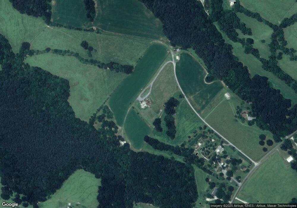
Map
Nearby Homes
- 100 Tripp Dr
- 608 Rollingbrook Rd
- 124 Rollingbrook Rd
- 213 Press Sweezy Rd
- 000 Putnam Lake Rd
- 101 Long Meadows Dr
- 106 Kelly Marie
- 221 Reliance Rd
- 3367 Marshall Wolfe Rd
- 123 Gold Run Ct
- 105 Ager Dr
- 105 Gold Run Ct
- 236 Hoyles Rd
- 00 Gary Beam Rd
- 104 Ole Farm Place
- 956 Stony Point Rd
- 167 Patterson Rd
- 215 J Robinson Pkwy
- 103 Amy Dr
- 107 Stony Point Rd
- 141 Brook Rd
- 130 Ware Loop Dr
- 134 Ware Loop Dr
- 124 Ware Loop Dr
- 122 Ware Loop Dr
- 120 Ware Loop Dr
- 116 Ware Loop Dr
- 133 Brook Rd
- 110 Ware Loop Dr
- 0 Ware Loop Dr
- 115 Ware Loop Dr
- 137 Brook Rd
- 127 Brook Rd
- 138 Ware Loop Dr
- 148 Brook Rd
- 115 Brook Rd
- 122 Brook Rd
- 122 Brook Rd
- 144 Ware Loop Dr
- 118 Brook Rd