141 Bryant Dr Waynesboro, VA 22980
Estimated Value: $348,000
3
Beds
3
Baths
2,013
Sq Ft
$173/Sq Ft
Est. Value
About This Home
This home is located at 141 Bryant Dr, Waynesboro, VA 22980 and is currently estimated at $348,000, approximately $172 per square foot. 141 Bryant Dr is a home located in Waynesboro City with nearby schools including Westwood Hills Elementary School, Kate Collins Middle School, and Waynesboro High School.
Ownership History
Date
Name
Owned For
Owner Type
Purchase Details
Closed on
Nov 2, 2021
Sold by
Knott Eugene T and Knott Janet C
Bought by
Rosa Saul E and Farr Laura A
Current Estimated Value
Home Financials for this Owner
Home Financials are based on the most recent Mortgage that was taken out on this home.
Original Mortgage
$303,831
Outstanding Balance
$278,447
Interest Rate
3%
Mortgage Type
VA
Estimated Equity
$69,553
Purchase Details
Closed on
Jul 19, 2017
Sold by
Creef Mildred T
Bought by
Knott Eugene T and Knott Janet C
Create a Home Valuation Report for This Property
The Home Valuation Report is an in-depth analysis detailing your home's value as well as a comparison with similar homes in the area
Home Values in the Area
Average Home Value in this Area
Purchase History
| Date | Buyer | Sale Price | Title Company |
|---|---|---|---|
| Rosa Saul E | $297,000 | Attorney | |
| Knott Eugene T | -- | None Available | |
| Creef Mildred T | -- | None Available |
Source: Public Records
Mortgage History
| Date | Status | Borrower | Loan Amount |
|---|---|---|---|
| Open | Rosa Saul E | $303,831 |
Source: Public Records
Tax History Compared to Growth
Tax History
| Year | Tax Paid | Tax Assessment Tax Assessment Total Assessment is a certain percentage of the fair market value that is determined by local assessors to be the total taxable value of land and additions on the property. | Land | Improvement |
|---|---|---|---|---|
| 2025 | $2,677 | $326,500 | $53,500 | $273,000 |
| 2024 | $2,216 | $287,800 | $45,000 | $242,800 |
| 2023 | $2,216 | $287,800 | $45,000 | $242,800 |
| 2022 | $2,225 | $247,200 | $35,000 | $212,200 |
| 2021 | $2,225 | $247,200 | $35,000 | $212,200 |
| 2020 | $2,057 | $228,500 | $35,000 | $193,500 |
| 2019 | $2,057 | $228,500 | $35,000 | $193,500 |
| 2018 | $1,837 | $204,100 | $35,000 | $169,100 |
| 2017 | $1,776 | $204,100 | $35,000 | $169,100 |
| 2016 | $1,597 | $199,600 | $35,000 | $164,600 |
| 2015 | $1,597 | $199,600 | $35,000 | $164,600 |
| 2014 | -- | $188,900 | $40,000 | $148,900 |
| 2013 | -- | $0 | $0 | $0 |
Source: Public Records
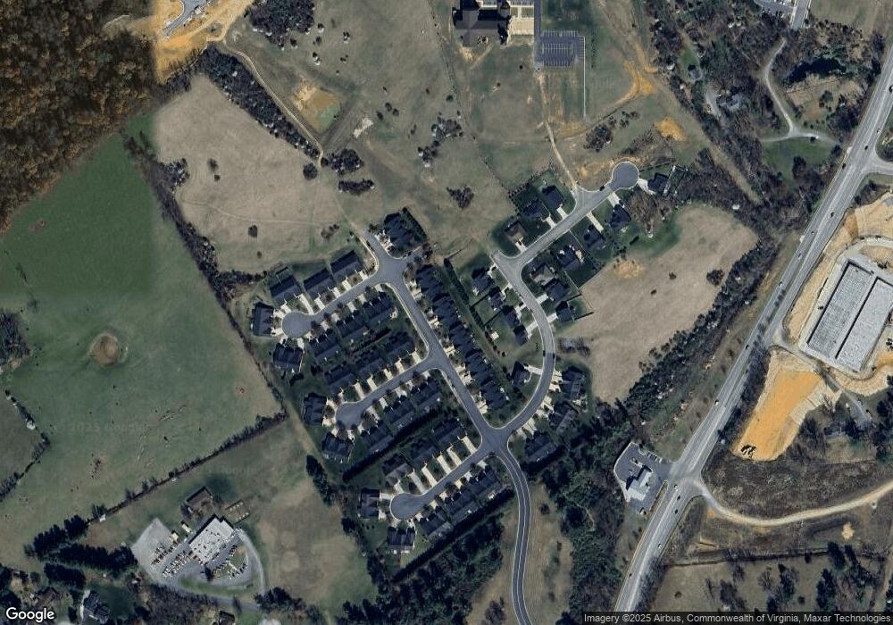
Map
Nearby Homes
- 227 Langley Dr
- 159 Langley Dr
- 155 Langley Dr
- 127 Springdale Rd
- 128 Springdale Rd
- 129 Springdale Rd
- 131 Springdale Rd
- 77A Springdale Rd
- 64D Springdale Rd
- 64C Springdale Rd
- 64B Springdale Rd
- 64A Springdale Rd
- 62 Springdale Rd
- 79 Springdale Rd
- 213 Sunbird Ln
- 94A Sunbird Ln
- 144 Sunbird Ln
- 73A Sunbird Ln
- 58 Sunbird Ln
- 225 Springdale Rd