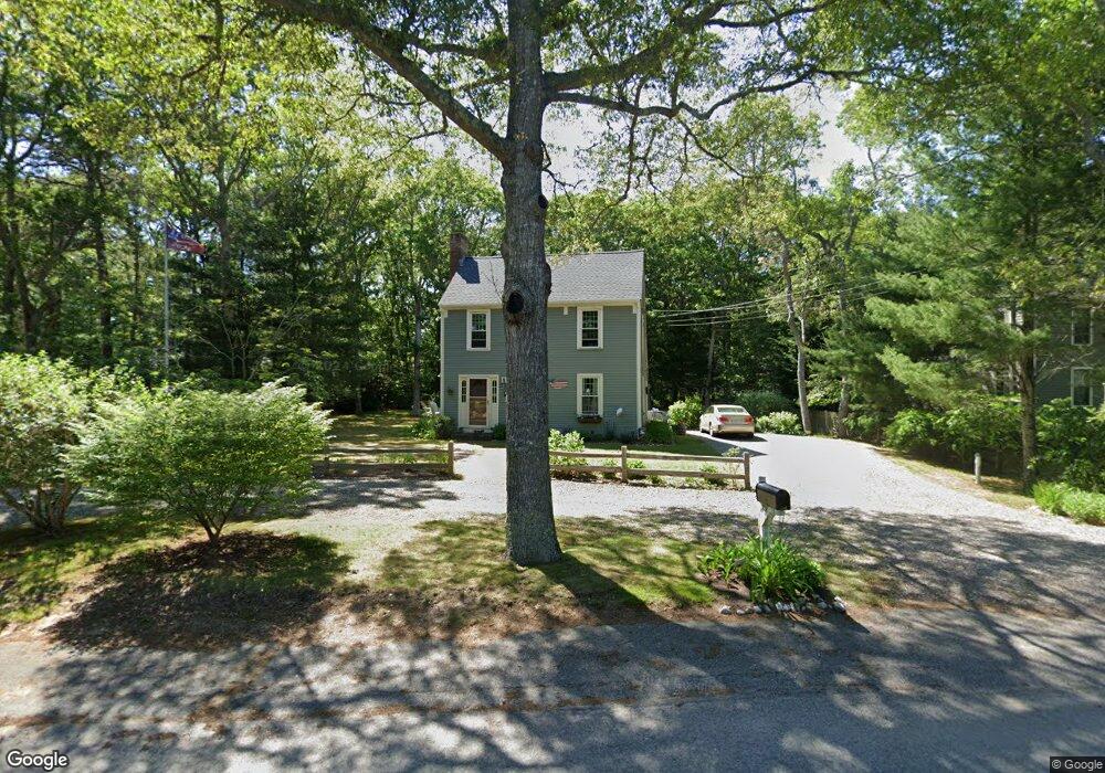
141 Capn Lijahs Rd Centerville, MA 02632
Centerville NeighborhoodEstimated Value: $553,000 - $631,000
3
Beds
2
Baths
1,201
Sq Ft
$482/Sq Ft
Est. Value
About This Home
This home is located at 141 Capn Lijahs Rd, Centerville, MA 02632 and is currently estimated at $578,899, approximately $482 per square foot. 141 Capn Lijahs Rd is a home located in Barnstable County with nearby schools including Centerville Elementary School, Barnstable United Elementary School, and Barnstable Intermediate School.
Ownership History
Date
Name
Owned For
Owner Type
Purchase Details
Closed on
Aug 19, 2003
Sold by
Firmin Michael S and Firmin Anita I
Bought by
Walsh Mark R and Walsh Margaret
Current Estimated Value
Home Financials for this Owner
Home Financials are based on the most recent Mortgage that was taken out on this home.
Original Mortgage
$145,000
Outstanding Balance
$63,108
Interest Rate
5.46%
Mortgage Type
Purchase Money Mortgage
Estimated Equity
$515,791
Purchase Details
Closed on
May 30, 2002
Sold by
Driscoll Dennis M and Driscoll Robin E
Bought by
Firmin Michael S and Firmin Anita I
Home Financials for this Owner
Home Financials are based on the most recent Mortgage that was taken out on this home.
Original Mortgage
$100,000
Interest Rate
7%
Mortgage Type
Purchase Money Mortgage
Purchase Details
Closed on
Jul 30, 1998
Sold by
Mcdaniel John C and Mcdaniel Gwen C
Bought by
Driscoll Dennis M
Home Financials for this Owner
Home Financials are based on the most recent Mortgage that was taken out on this home.
Original Mortgage
$137,700
Interest Rate
6.92%
Mortgage Type
Purchase Money Mortgage
Create a Home Valuation Report for This Property
The Home Valuation Report is an in-depth analysis detailing your home's value as well as a comparison with similar homes in the area
Home Values in the Area
Average Home Value in this Area
Purchase History
| Date | Buyer | Sale Price | Title Company |
|---|---|---|---|
| Walsh Mark R | $267,500 | -- | |
| Firmin Michael S | $225,000 | -- | |
| Driscoll Dennis M | $135,000 | -- |
Source: Public Records
Mortgage History
| Date | Status | Borrower | Loan Amount |
|---|---|---|---|
| Open | Driscoll Dennis M | $145,000 | |
| Previous Owner | Driscoll Dennis M | $100,000 | |
| Previous Owner | Driscoll Dennis M | $172,000 | |
| Previous Owner | Driscoll Dennis M | $137,700 |
Source: Public Records
Tax History
| Year | Tax Paid | Tax Assessment Tax Assessment Total Assessment is a certain percentage of the fair market value that is determined by local assessors to be the total taxable value of land and additions on the property. | Land | Improvement |
|---|---|---|---|---|
| 2025 | $3,523 | $435,500 | $152,200 | $283,300 |
| 2024 | $3,127 | $400,400 | $152,200 | $248,200 |
| 2023 | $3,224 | $386,600 | $138,400 | $248,200 |
| 2022 | $3,008 | $312,000 | $102,500 | $209,500 |
| 2021 | $3,005 | $286,500 | $102,500 | $184,000 |
| 2020 | $3,039 | $277,300 | $102,500 | $174,800 |
| 2019 | $2,968 | $263,100 | $102,500 | $160,600 |
| 2018 | $2,779 | $247,700 | $107,900 | $139,800 |
| 2017 | $2,462 | $228,800 | $107,900 | $120,900 |
| 2016 | $2,503 | $229,600 | $108,700 | $120,900 |
| 2015 | $2,382 | $219,500 | $105,400 | $114,100 |
Source: Public Records
Map
Nearby Homes
- 900 Old Stage Rd
- 62 Three Ponds Dr
- 324 Patriot Way
- 66 Tern Ln
- 296 Buckskin Path
- 315 Prince Hinckley Rd
- 87 Foxglove Rd
- 1044 Old Falmouth Rd
- 1028 Old Falmouth Rd
- 74 Saddler Ln
- 82 Yacht Club Rd
- 19 Marrick Ct
- 80 Branch Terrace
- 51 Larch Ln
- 481 Lakeside Dr W
- 357 Lakeside Dr W
- 5 Chickadee Ln
- 282 Parker Rd
- 7 Ebenezer
- 83 Lake Dr
- 151 Captain Lijahs Rd
- 151 Capn Lijahs Rd
- 151 Cap'N Lijah's Rd
- 144 Capt Lijah's
- 131 Capn Lijahs Rd
- 141 Captain Lijah's Rd
- 141 Capt Lijah's Rd
- 134 Capn Lijahs Rd
- 110 Patriot Way
- 161 Capn Lijahs Rd
- 161 Cap'N Lijah's Rd
- 121 Capn Lijahs Rd
- 144 Capn Lijahs Rd
- 144 Captain Lijah's Rd
- 126 Capn Lijahs Rd
- 111 Patriot Way
- 140 Patriot Way
- 152 Capn Lijahs Rd
- 171 Cap'N Lijah's Rd
- 162 Capn Lijahs Rd
Your Personal Tour Guide
Ask me questions while you tour the home.