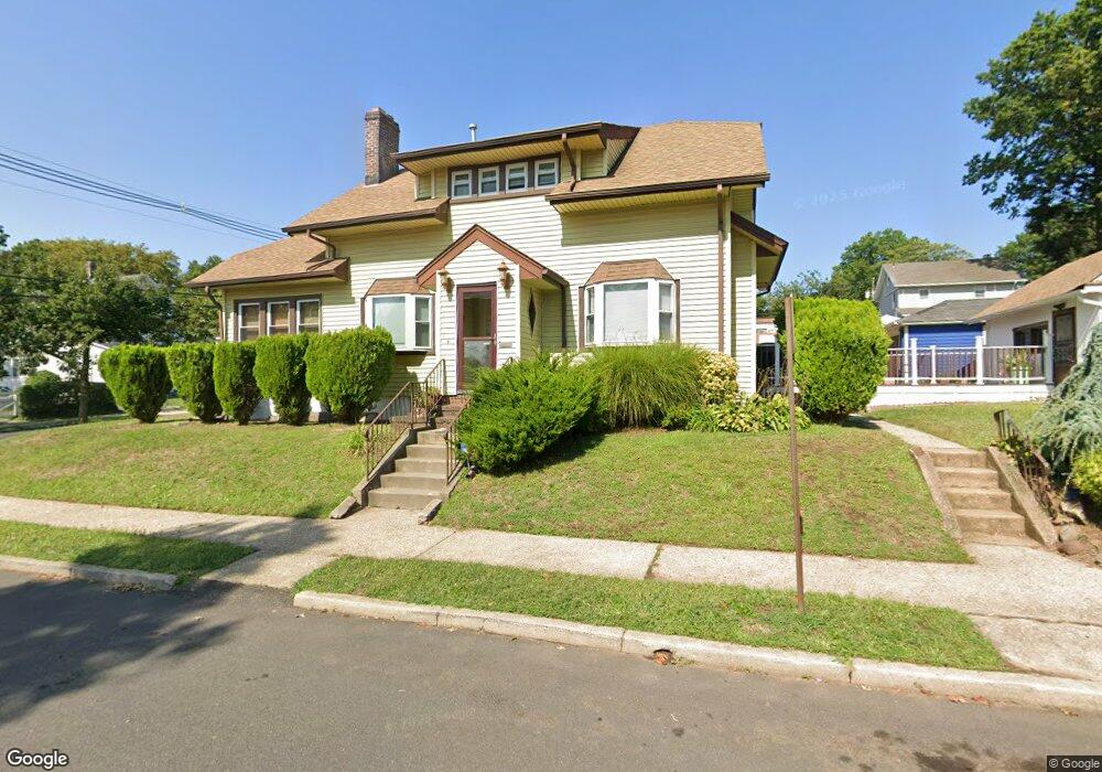
141 Clark St Hillside, NJ 07205
Estimated Value: $441,000 - $592,000
Studio
--
Bath
2,227
Sq Ft
$238/Sq Ft
Est. Value
About This Home
This home is located at 141 Clark St, Hillside, NJ 07205 and is currently estimated at $529,148, approximately $237 per square foot. 141 Clark St is a home located in Union County with nearby schools including Abram P. Morris-Saybrook Elementary School, Ola Edwards Community School, and Hurden Looker School.
Ownership History
Date
Name
Owned For
Owner Type
Purchase Details
Closed on
May 20, 2009
Sold by
Secretary Of Housing & Urban Development
Bought by
Karim Maria and Karim Faoud
Current Estimated Value
Home Financials for this Owner
Home Financials are based on the most recent Mortgage that was taken out on this home.
Original Mortgage
$185,413
Outstanding Balance
$117,022
Interest Rate
4.83%
Mortgage Type
FHA
Estimated Equity
$412,126
Purchase Details
Closed on
Feb 5, 2008
Sold by
Barton Ross and Clarke Barton Barbara
Bought by
Hud
Purchase Details
Closed on
Dec 21, 1999
Sold by
Hyndman Jules
Bought by
Barton Ross and Clarke Barton Barbara
Home Financials for this Owner
Home Financials are based on the most recent Mortgage that was taken out on this home.
Original Mortgage
$124,969
Interest Rate
7.91%
Mortgage Type
FHA
Create a Home Valuation Report for This Property
The Home Valuation Report is an in-depth analysis detailing your home's value as well as a comparison with similar homes in the area
Home Values in the Area
Average Home Value in this Area
Purchase History
| Date | Buyer | Sale Price | Title Company |
|---|---|---|---|
| Karim Maria | $160,000 | Collegiate Title Corporation | |
| Hud | -- | None Available | |
| Barton Ross | $126,000 | First American Title Ins Co |
Source: Public Records
Mortgage History
| Date | Status | Borrower | Loan Amount |
|---|---|---|---|
| Open | Karim Maria | $185,413 | |
| Previous Owner | Barton Ross | $124,969 |
Source: Public Records
Tax History
| Year | Tax Paid | Tax Assessment Tax Assessment Total Assessment is a certain percentage of the fair market value that is determined by local assessors to be the total taxable value of land and additions on the property. | Land | Improvement |
|---|---|---|---|---|
| 2025 | $12,256 | $148,500 | $49,500 | $99,000 |
| 2024 | $11,899 | $148,500 | $49,500 | $99,000 |
| 2023 | $11,899 | $148,500 | $49,500 | $99,000 |
| 2022 | $11,789 | $148,500 | $49,500 | $99,000 |
| 2021 | $11,712 | $148,500 | $49,500 | $99,000 |
| 2020 | $11,644 | $148,500 | $49,500 | $99,000 |
| 2019 | $11,418 | $148,500 | $49,500 | $99,000 |
| 2018 | $11,304 | $148,500 | $49,500 | $99,000 |
| 2017 | $11,236 | $148,500 | $49,500 | $99,000 |
| 2016 | $11,222 | $148,500 | $49,500 | $99,000 |
| 2015 | $11,123 | $148,500 | $49,500 | $99,000 |
| 2014 | $10,947 | $148,500 | $49,500 | $99,000 |
Source: Public Records
Map
Nearby Homes
- 1504 Munn Ave
- 1437 Parkview Terrace
- 1431 Compton Terrace
- 75 Hillside Ave
- 1406 Maple Ave
- 1570-72 Clinton Place
- 1414 Boa Place Unit 2
- 1444 N Broad St
- 261 Winans Ave
- 277 Clark St
- 151 Keer Ave
- 95 Keer Ave
- 1442 Highland Ave
- 91 Keer Ave Unit 95
- 1470B Liberty Ave
- 61-63 Keer Ave
- 61 Keer Ave Unit 63
- 236-238 Keer Ave
- 1603 Bayview Ave
- 203-205 Hansbury Ave
Your Personal Tour Guide
Ask me questions while you tour the home.