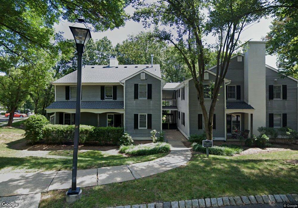
141 Countryside Dr Basking Ridge, NJ 07920
Estimated Value: $297,000 - $374,000
--
Bed
--
Bath
1,120
Sq Ft
$301/Sq Ft
Est. Value
About This Home
This home is located at 141 Countryside Dr, Basking Ridge, NJ 07920 and is currently estimated at $336,961, approximately $300 per square foot. 141 Countryside Dr is a home located in Somerset County with nearby schools including Oak Street Elementary School, William Annin Middle School, and Ridge High School.
Ownership History
Date
Name
Owned For
Owner Type
Purchase Details
Closed on
Mar 1, 2023
Sold by
Beland Laurie
Bought by
Maher Laurie Ann
Current Estimated Value
Purchase Details
Closed on
Sep 1, 2005
Sold by
Watt Brendan A
Bought by
Beland Laurie M
Home Financials for this Owner
Home Financials are based on the most recent Mortgage that was taken out on this home.
Original Mortgage
$238,000
Interest Rate
5.84%
Purchase Details
Closed on
Aug 23, 2003
Sold by
Watt Duncan W
Bought by
Watt Brendan Andrew and Garms Laura Marie
Home Financials for this Owner
Home Financials are based on the most recent Mortgage that was taken out on this home.
Original Mortgage
$133,000
Interest Rate
6.02%
Purchase Details
Closed on
Nov 4, 1997
Sold by
Como Michael
Bought by
Watt Duncan and Pasterski Joanne
Home Financials for this Owner
Home Financials are based on the most recent Mortgage that was taken out on this home.
Original Mortgage
$87,000
Interest Rate
7.23%
Create a Home Valuation Report for This Property
The Home Valuation Report is an in-depth analysis detailing your home's value as well as a comparison with similar homes in the area
Home Values in the Area
Average Home Value in this Area
Purchase History
| Date | Buyer | Sale Price | Title Company |
|---|---|---|---|
| Maher Laurie Ann | -- | -- | |
| Beland Laurie M | $298,500 | -- | |
| Watt Brendan Andrew | $198,000 | -- | |
| Watt Duncan | $108,500 | -- |
Source: Public Records
Mortgage History
| Date | Status | Borrower | Loan Amount |
|---|---|---|---|
| Previous Owner | Beland Laurie M | $238,000 | |
| Previous Owner | Watt Brendan Andrew | $133,000 | |
| Previous Owner | Watt Duncan | $87,000 |
Source: Public Records
Tax History Compared to Growth
Tax History
| Year | Tax Paid | Tax Assessment Tax Assessment Total Assessment is a certain percentage of the fair market value that is determined by local assessors to be the total taxable value of land and additions on the property. | Land | Improvement |
|---|---|---|---|---|
| 2025 | $4,940 | $294,000 | $93,000 | $201,000 |
| 2024 | $4,940 | $277,700 | $93,000 | $184,700 |
| 2023 | $4,626 | $245,300 | $93,000 | $152,300 |
| 2022 | $4,251 | $211,400 | $93,000 | $118,400 |
| 2021 | $4,123 | $195,400 | $90,000 | $105,400 |
| 2020 | $4,096 | $195,600 | $90,000 | $105,600 |
| 2019 | $3,700 | $181,900 | $110,000 | $71,900 |
| 2018 | $3,447 | $171,900 | $100,000 | $71,900 |
| 2017 | $3,435 | $172,700 | $100,000 | $72,700 |
| 2016 | $3,387 | $173,600 | $100,000 | $73,600 |
| 2015 | $4,018 | $209,700 | $100,000 | $109,700 |
| 2014 | $4,056 | $209,700 | $100,000 | $109,700 |
Source: Public Records
Map
Nearby Homes
- 16 Dayton Crescent
- 117 W Oak St
- 209 Lake Rd
- 22 Dayton St
- 12 Tamarisk Ct
- 92 Whitenack Rd
- 20 Anderson Hill Rd
- 26 Anderson Hill Rd
- 80 Claremont Rd Unit 802
- 80 Claremont Rd Unit 206
- 135 Woods End Dr
- 101 Rippling Brook Way
- 15 Highview Ave
- 41 Anderson Hill Rd
- 10 Tysley St
- 10 Nancy Ln
- 71 Mount Harmony Rd
- 12 Wayne Terrace
- 23 Charlotte Hill Dr
- 22 Orchard Hill Rd
- 148 Countryside Dr
- 144 Countryside Dr
- 142 Countryside Dr
- 146 Countryside Dr
- 150 Countryside Dr Unit 10
- 143 Countryside Dr
- 145 Countryside Dr
- 149 Countryside Dr
- 147 Countryside Dr
- 21 Countryside Dr Unit 7F
- 8 Countryside Dr Unit 1A
- 15 Countryside Dr Unit 1E
- 117 Countryside Dr Ondo
- 120 Countryside Dr Unit 6C
- 13 Countryside Dr Unit 6C
- 122 Countryside Dr
- 22 Countryside Dr
- 19 Countryside Dr
- 5 Countryside Dr
- 18 Countryside Dr