141 Cypress Ln Ellijay, GA 30536
Estimated Value: $311,000 - $447,000
2
Beds
3
Baths
1,643
Sq Ft
$237/Sq Ft
Est. Value
About This Home
This home is located at 141 Cypress Ln, Ellijay, GA 30536 and is currently estimated at $389,249, approximately $236 per square foot. 141 Cypress Ln is a home located in Gilmer County with nearby schools including Ellijay Elementary School, Clear Creek Elementary School, and Clear Creek Middle School.
Ownership History
Date
Name
Owned For
Owner Type
Purchase Details
Closed on
Oct 16, 2002
Sold by
Avery John A and Avery Tabat
Bought by
Avery John A and Avery Tabatha M
Current Estimated Value
Purchase Details
Closed on
Aug 12, 1999
Sold by
Postell Charles G
Bought by
Avery John and Avery Tabatha S
Purchase Details
Closed on
Mar 1, 1987
Sold by
Postell Charles G
Bought by
Postell Charles G
Purchase Details
Closed on
Feb 1, 1987
Bought by
Postell Charles G
Create a Home Valuation Report for This Property
The Home Valuation Report is an in-depth analysis detailing your home's value as well as a comparison with similar homes in the area
Home Values in the Area
Average Home Value in this Area
Purchase History
| Date | Buyer | Sale Price | Title Company |
|---|---|---|---|
| Avery John A | -- | -- | |
| Avery John | $13,600 | -- | |
| Postell Charles G | -- | -- | |
| Postell Charles G | -- | -- |
Source: Public Records
Tax History Compared to Growth
Tax History
| Year | Tax Paid | Tax Assessment Tax Assessment Total Assessment is a certain percentage of the fair market value that is determined by local assessors to be the total taxable value of land and additions on the property. | Land | Improvement |
|---|---|---|---|---|
| 2025 | $1,495 | $119,880 | $26,800 | $93,080 |
| 2024 | $1,495 | $121,052 | $26,800 | $94,252 |
| 2023 | $1,541 | $120,652 | $26,800 | $93,852 |
| 2022 | $1,573 | $107,612 | $23,520 | $84,092 |
| 2021 | $1,617 | $94,852 | $23,520 | $71,332 |
| 2020 | $1,527 | $75,896 | $22,200 | $53,696 |
| 2019 | $1,426 | $65,916 | $15,040 | $50,876 |
| 2018 | $1,462 | $65,596 | $14,720 | $50,876 |
| 2017 | $1,348 | $56,684 | $14,720 | $41,964 |
| 2016 | $1,404 | $57,812 | $14,720 | $43,092 |
| 2015 | $1,219 | $51,376 | $13,840 | $37,536 |
| 2014 | $1,182 | $48,040 | $13,840 | $34,200 |
| 2013 | -- | $49,880 | $13,840 | $36,040 |
Source: Public Records
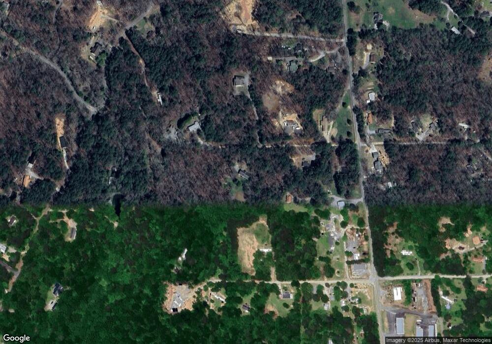
Map
Nearby Homes
- 306 Cripple Creek Ln
- 0 Yukon Rd Unit 7507385
- 0 Yukon Rd Unit 10442733
- 0 Old Pleasant Valley Rd Unit 7671835
- 0 Old Pleasant Valley Rd Unit 10622779
- 431 Clear Creek Rd
- 144 Ridgeback Rd
- 0 Orchard Ln Unit 10579458
- 0 Orchard Ln Unit 7627264
- 2089 John Call Rd
- 0 John Call Rd
- 1907 John Call Rd
- 270 Milford Trail
- 0 John Call Rd Unit 10646302
- 0 John Call Rd Unit 420371
- 0 John Call Rd Unit 7683545
- 152 Wendy Hill Rd
- 00 Wildwood Trail
- 716 Old Pleasant Valley Rd
- 01 Old Federal Rd