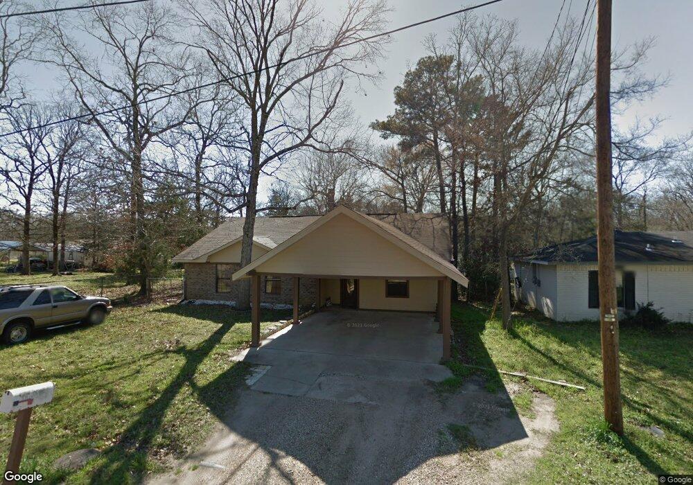
141 Falcon Ave Lufkin, TX 75904
Estimated Value: $157,000 - $194,000
4
Beds
2
Baths
1,468
Sq Ft
$120/Sq Ft
Est. Value
About This Home
This home is located at 141 Falcon Ave, Lufkin, TX 75904 and is currently estimated at $176,629, approximately $120 per square foot. 141 Falcon Ave is a home located in Angelina County with nearby schools including W.F. Peavy Primary School, W.H. Bonner Elementary School, and Hudson Middle School.
Ownership History
Date
Name
Owned For
Owner Type
Purchase Details
Closed on
Jan 19, 2024
Sold by
Hernandez Felipe and Hernandez Norma A
Bought by
Camacho Andrea
Current Estimated Value
Home Financials for this Owner
Home Financials are based on the most recent Mortgage that was taken out on this home.
Original Mortgage
$100,000
Outstanding Balance
$88,080
Interest Rate
7.03%
Mortgage Type
Seller Take Back
Estimated Equity
$88,550
Create a Home Valuation Report for This Property
The Home Valuation Report is an in-depth analysis detailing your home's value as well as a comparison with similar homes in the area
Home Values in the Area
Average Home Value in this Area
Purchase History
| Date | Buyer | Sale Price | Title Company |
|---|---|---|---|
| Camacho Andrea | -- | None Listed On Document |
Source: Public Records
Mortgage History
| Date | Status | Borrower | Loan Amount |
|---|---|---|---|
| Open | Camacho Andrea | $100,000 |
Source: Public Records
Tax History
| Year | Tax Paid | Tax Assessment Tax Assessment Total Assessment is a certain percentage of the fair market value that is determined by local assessors to be the total taxable value of land and additions on the property. | Land | Improvement |
|---|---|---|---|---|
| 2025 | $1,771 | $119,280 | $15,380 | $103,900 |
| 2024 | $1,732 | $116,710 | $15,380 | $101,330 |
| 2023 | $1,780 | $120,610 | $15,380 | $105,230 |
| 2022 | $2,172 | $129,090 | $8,640 | $120,450 |
| 2021 | $1,954 | $116,820 | $5,040 | $111,780 |
| 2020 | $1,778 | $96,830 | $5,190 | $91,640 |
| 2019 | $1,784 | $94,010 | $5,040 | $88,970 |
| 2018 | $1,375 | $91,900 | $5,040 | $86,860 |
| 2017 | $1,375 | $88,300 | $5,040 | $83,260 |
| 2016 | $1,623 | $84,510 | $5,040 | $79,470 |
| 2015 | $1,309 | $84,510 | $5,040 | $79,470 |
| 2014 | $1,309 | $85,920 | $5,040 | $80,880 |
Source: Public Records
Map
Nearby Homes
- 260 Falcon Ave
- 183 Falcon Ave
- 1568 S Fm 706
- Lot 2 Bethlehem Rd
- 105,115,116,195 Wilcox Dr
- 2459 Bethlehem Rd
- 375 John Lucy Ln
- 3405 Bethlehem Rd
- 1072 Stephenson Brown Rd
- 176 Lancewood Cir
- 151 Lancewood Cir
- 895 Foster Rd
- 905 Foster Rd
- 885 Foster Rd
- PID 25110 James Oates Rd
- 5740 Hwy 103e
- Derek RD None
- 405 Ben Dunn Rd
- 0000 Roy Christie Rd
- 448 Ben Dunn Rd
- 175 Falcon Ave
- 216 Canary Cir
- 176 Falcon Ave
- 1358 S Fm 706
- 219 Falcon Ave
- 1376 S Fm 706
- 110 Bluejay Cir
- 190 Canary Cir
- 239 Falcon Ave
- 127 Falcon Ave
- 1402 Farm To Market 706
- 1402 S Farm To Market 706
- 128 Bluejay Cir
- 220 Falcon Ave
- 208 Falcon Ave
- 103 Blue Jay Cir
- 232 Falcon Ave
- 103 Bluejay Cir
- 108 Bluejay Cir
- 117 Bluejay Cir
Your Personal Tour Guide
Ask me questions while you tour the home.