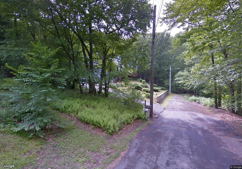
141 Grilley Rd Wolcott, CT 06716
Estimated Value: $351,674 - $487,000
3
Beds
2
Baths
1,638
Sq Ft
$255/Sq Ft
Est. Value
About This Home
This home is located at 141 Grilley Rd, Wolcott, CT 06716 and is currently estimated at $417,669, approximately $254 per square foot. 141 Grilley Rd is a home located in New Haven County with nearby schools including Tyrrell Middle School and Wolcott High School.
Ownership History
Date
Name
Owned For
Owner Type
Purchase Details
Closed on
Jun 11, 2021
Sold by
Ramer Damien
Bought by
Caron Jamison and Caron Lee
Current Estimated Value
Purchase Details
Closed on
Oct 30, 1998
Sold by
Hollander Sandra
Bought by
Ramer Denise J
Home Financials for this Owner
Home Financials are based on the most recent Mortgage that was taken out on this home.
Original Mortgage
$128,800
Interest Rate
6.68%
Create a Home Valuation Report for This Property
The Home Valuation Report is an in-depth analysis detailing your home's value as well as a comparison with similar homes in the area
Home Values in the Area
Average Home Value in this Area
Purchase History
| Date | Buyer | Sale Price | Title Company |
|---|---|---|---|
| Caron Jamison | -- | None Available | |
| Ramer Denise J | $140,000 | -- |
Source: Public Records
Mortgage History
| Date | Status | Borrower | Loan Amount |
|---|---|---|---|
| Previous Owner | Ramer Denise J | $30,050 | |
| Previous Owner | Ramer Denise J | $128,800 | |
| Previous Owner | Ramer Denise J | $32,000 |
Source: Public Records
Tax History
| Year | Tax Paid | Tax Assessment Tax Assessment Total Assessment is a certain percentage of the fair market value that is determined by local assessors to be the total taxable value of land and additions on the property. | Land | Improvement |
|---|---|---|---|---|
| 2025 | $6,350 | $176,720 | $45,220 | $131,500 |
| 2024 | $5,844 | $176,720 | $45,220 | $131,500 |
| 2023 | $5,632 | $176,720 | $45,220 | $131,500 |
| 2022 | $5,443 | $176,720 | $45,220 | $131,500 |
| 2021 | $5,114 | $154,300 | $42,890 | $111,410 |
| 2020 | $5,114 | $154,300 | $42,890 | $111,410 |
| 2019 | $5,114 | $154,300 | $42,890 | $111,410 |
| 2018 | $4,968 | $154,300 | $42,890 | $111,410 |
| 2017 | $4,825 | $154,300 | $42,890 | $111,410 |
| 2016 | $4,639 | $160,450 | $44,560 | $115,890 |
| 2015 | $4,505 | $160,450 | $44,560 | $115,890 |
| 2014 | $4,359 | $160,450 | $44,560 | $115,890 |
Source: Public Records
Map
Nearby Homes
- 52 Chestnut Hill Rd
- 128 Lyman Rd Unit 24
- 128 Lyman Rd Unit 25
- 9 Pembroke Hill Rd
- 210 Munson Rd Unit 2-D
- 210 Munson Rd Unit 2-B
- 210 Munson Rd Unit 2-F
- 210 Munson Rd Unit 3B
- 210 Munson Rd Unit 2-G
- 210 Munson Rd Unit 2-C
- 210 Munson Rd Unit 2-E
- 58 Steep Hill Rd
- 115 Cooper Dr
- 22 Pembroke Hill Rd
- 108 Crestwood Ave
- 124 Potuccos Ring Rd
- 20 Wolf Hill Rd Unit 7H
- 20 Wolf Hill Rd Unit 1A
- 8 Oakengate Rd
- 0 Montoe Rd
- 135 Grilley Rd
- 129 Grilley Rd
- 34 Consitution Dr
- 32 Consitution Dr
- 30 Consitution Dr
- 28 Consitution Dr
- 26 Consitution Dr
- 24 Consitution Dr
- 25 Consitution Dr
- 27 Consitution Dr
- 18 Consitution Dr
- 16 Consitution Dr
- 21 Consitution Dr
- 19 Consitution Dr
- 17 Consitution Dr
- 15 Consitution Dr
- 11 Consitution Dr
- 9 Consitution Dr
- 8 Consitution Dr
- 6 Consitution Dr