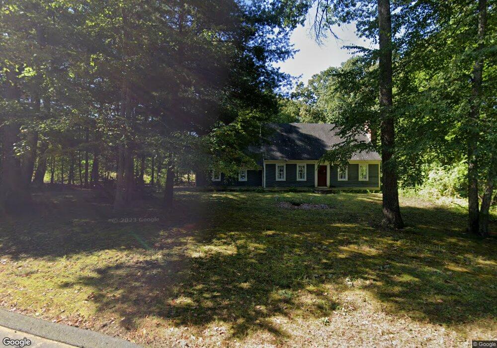
141 Highland Rd Mansfield Center, CT 06250
Estimated Value: $416,307 - $494,000
3
Beds
3
Baths
1,638
Sq Ft
$279/Sq Ft
Est. Value
About This Home
This home is located at 141 Highland Rd, Mansfield Center, CT 06250 and is currently estimated at $457,577, approximately $279 per square foot. 141 Highland Rd is a home located in Tolland County with nearby schools including Annie E. Vinton School, Mansfield Elementary School, and Mansfield Middle School.
Ownership History
Date
Name
Owned For
Owner Type
Purchase Details
Closed on
Apr 26, 1995
Sold by
Parc Assoc
Bought by
Callahan Michael and Callahan Marianne
Current Estimated Value
Home Financials for this Owner
Home Financials are based on the most recent Mortgage that was taken out on this home.
Original Mortgage
$148,500
Interest Rate
5.99%
Mortgage Type
Unknown
Create a Home Valuation Report for This Property
The Home Valuation Report is an in-depth analysis detailing your home's value as well as a comparison with similar homes in the area
Home Values in the Area
Average Home Value in this Area
Purchase History
| Date | Buyer | Sale Price | Title Company |
|---|---|---|---|
| Callahan Michael | $165,000 | -- | |
| Callahan Michael | $165,000 | -- |
Source: Public Records
Mortgage History
| Date | Status | Borrower | Loan Amount |
|---|---|---|---|
| Open | Callahan Michael | $150,000 | |
| Closed | Callahan Michael | $50,000 | |
| Closed | Callahan Michael | $110,000 | |
| Closed | Callahan Michael | $148,500 |
Source: Public Records
Tax History Compared to Growth
Tax History
| Year | Tax Paid | Tax Assessment Tax Assessment Total Assessment is a certain percentage of the fair market value that is determined by local assessors to be the total taxable value of land and additions on the property. | Land | Improvement |
|---|---|---|---|---|
| 2025 | $5,026 | $251,300 | $54,300 | $197,000 |
| 2024 | $5,030 | $164,800 | $51,000 | $113,800 |
| 2023 | $5,194 | $164,800 | $51,000 | $113,800 |
| 2022 | $5,007 | $164,800 | $51,000 | $113,800 |
| 2021 | $5,171 | $164,800 | $51,000 | $113,800 |
| 2020 | $5,171 | $164,800 | $51,000 | $113,800 |
| 2019 | $5,281 | $168,300 | $53,500 | $114,800 |
| 2018 | $5,197 | $168,300 | $53,500 | $114,800 |
| 2017 | $5,155 | $168,300 | $53,500 | $114,800 |
| 2016 | $5,027 | $168,300 | $53,500 | $114,800 |
| 2015 | $5,027 | $168,300 | $53,500 | $114,800 |
| 2014 | $5,134 | $183,680 | $61,110 | $122,570 |
Source: Public Records
Map
Nearby Homes
- 76 Highland Rd
- 0 Oak Dr Unit LOT 33
- 58 Candide Ln
- 77 Woods Rd
- 81 Stafford Rd
- 27 Briar Cliff Rd
- 16 Thornbush Rd
- 0 Mansfield City Rd Unit LOT 2
- 0 Mansfield City Rd Unit 24089164
- 35 Wyllys Farm Rd
- 73 Holbrook Ave
- 39 Jacobs Hill Rd
- 29 Wyllys Farm Rd
- 29 Kathleen Dr Unit 5E
- 30 Wyllys Farm Rd
- 61 Independence Dr
- 15 Patriots Square
- 1 Heritage Square Unit 1
- 23 Liberty Dr Unit 23
- 23 Circle Dr
- 145 Highland Rd
- 138 Highland Rd
- 146 Highland Rd
- 152 Highland Rd
- 151 Highland Rd
- 157 Highland Rd
- 119 Highland Rd
- 156 Highland Rd
- 113 Highland Rd
- 163 Highland Rd
- 109 Highland Rd
- 35 Woodmont Dr
- 164 Highland Rd
- 107 Highland Rd
- 106 Highland Rd
- 172 Highland Rd
- 103 Highland Rd
- 38 Woodmont Dr
- 15 Stone Ridge
- 171 Highland Rd